Barbalha — Pedra Azul
Barbalha — Lucélia
Barbalha — Palmeira das Missões
Barbalha — Santana do Acaraú
Barbalha — Luís Gomes
Barbalha — Coxim
Barbalha — Butiá
Barbalha — Cristal
Barbalha — Vila Nova
Barbalha — Guaramiranga
Barbalha — Rondon
Barbalha — Cariri do Tocantins
Barbalha — Altair
Barbalha — Maximiliano de Almeida
Barbalha — Caracol
Barbalha — Mundo Novo
Barbalha — Jataìzinho
Barbalha — Luisburgo
Barbalha — Xangri-lá
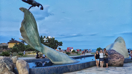
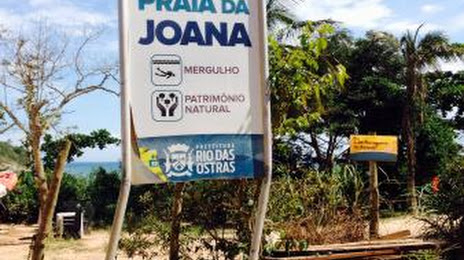
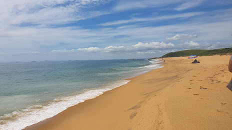
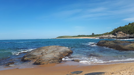
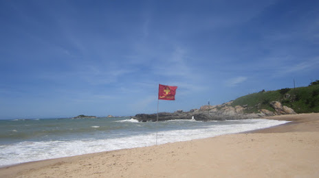
Barbalha — Rio das Ostras distance, route on the map
Distance by car
Distance between Barbalha, Ceará, Brazil and Rio das Ostras, Rio de Janeiro, Brazil by car is — km, or miles. To travel this distance by car, you need minute, or h.
Route on the map, driving directions
Car route Barbalha — Rio das Ostras was created automatically. The road on the map is shown as a blue line. By moving the markers, you can create a new route through the points you need.
Distance by plane
If you decide to take a trip Barbalha Rio das Ostras by plane, then you have to fly the distance — 1717 km or 1065 miles. It is marked on the map with a gray line (between two points in a straight line).
Flight time
Estimated flight time Barbalha Rio das Ostras by plane at cruising speed 750 km / h will be — 2 h. and 17 min.
Direction of movement
Brazil, Barbalha — right-hand traffic. Brazil, Rio das Ostras — right-hand traffic.
Difference in time
Barbalha and Rio das Ostras are in the same time zone. Between them there is no time difference (UTC -3 America/Fortaleza).
Interesting Facts
Information on alternative ways to get to your destination.
The length of this distance is about 4.3% of the total length of the equator.
The percentage of the population is clearly shown in the graph:
Barbalha — 33,944 (less by 12,675), Rio das Ostras — 46,619 residents.
The cost of travel
Calculate the cost of the trip yourself using the fuel consumption calculator, changing the data in the table.