
 Augsburg
Starnberg
Gernsbach
Wehingen
Brunswick
Aschaffenburg
Datteln
Krefeld
Heppenheim
Kumhausen
Arnoldsweiler
Kaiserslautern
Nümbrecht
Erbach im Odenwald
Unterschleißheim
Sachsen bei Ansbach
Regensburg
Wesel
Gera
Augsburg
Starnberg
Gernsbach
Wehingen
Brunswick
Aschaffenburg
Datteln
Krefeld
Heppenheim
Kumhausen
Arnoldsweiler
Kaiserslautern
Nümbrecht
Erbach im Odenwald
Unterschleißheim
Sachsen bei Ansbach
Regensburg
Wesel
Gera
Ingolstadt on the map, Germany
Where is located Ingolstadt
Exact location — Ingolstadt, Upper Bavaria, Bavaria, Germany, marked on the map with a red marker.
Coordinates
Ingolstadt, Germany coordinates in decimal format: latitude — 48.7665351, longitude — 11.4257541. When converted to degrees, minutes, seconds Ingolstadt has the following coordinates: 48°45′59.53 north latitude and 11°25′32.71 east longitude.
Population
Ingolstadt, Upper Bavaria, Bavaria, Germany, according to our data the population is — 120,598 residents, which is about 0.1% of the total population of the country (Germany).
Comparison of the population on the graph:
Exact time
Time zone for this location Ingolstadt — UTC +2 Europe/Berlin. Exact time — sunday, 4 april 2024 year, 15 h. 10 minutes.
Sunrise and sunset
Ingolstadt, sunrise and sunset data for a date — sunday 28.04.2024.
| Sunrise | Sunset | Day (duration) |
|---|---|---|
| 06:01 -2 minutes | 20:21 +1 minute | 14 h. 18 minutes. +3 minutes |
You can control the scale of the map using the auxiliary tools to find out exactly where it is located Ingolstadt. When you change the scale of the map, the width of the ruler also changes (in kilometers and miles).
Nearby cities
The largest cities that are located nearby:
- Regensburg — 56 km
- Augsburg — 58 km
- Munich — 71 km
- Nuremberg — 80 km
- Fürth — 85 km
- Erlangen — 96 km
- Ulm — 113 km
- Würzburg — 155 km
- Salzburg
 (Austria) — 161 km
 - Stuttgart — 163 km
- Reutlingen — 165 km
- Heilbronn — 166 km
- Innsbruck (Austria) — 166 km
- Pilsen
 (Czech Republic) — 176 km
 - Pforzheim — 199 km
- Heidelberg — 210 km
- Linz (Austria) — 216 km
- Karlsruhe — 221 km
- Mannheim — 227 km
Distance to neighboring capitals:
- Vaduz
 (Liechtenstein) — 230 km
 - Prague (Czech Republic) — 262 km
- Bern
 (Switzerland) — 359 km
 - Vienna (Austria) — 370 km
- Ljubljana
 (Slovenia) — 380 km
 - Brussels
 (Belgium) — 558 km
 - Amsterdam
 (Netherlands) — 611 km
 - Paris
 (France) — 664 km
 - Paris (France) — 664 km
- Rome
 (Italy) — 768 km
 - Copenhagen
 (Denmark) — 772 km
 - Warsaw
 (Poland) — 779 km
 - Oslo
 (Norway) — 1241 km
 - Stockholm
 (Sweden) — 1246 km
 - Minsk
 (Belarus) — 1255 km
 - Kyiv
 (Ukraine) — 1385 km
 - Helsinki
 (Finland) — 1534 km
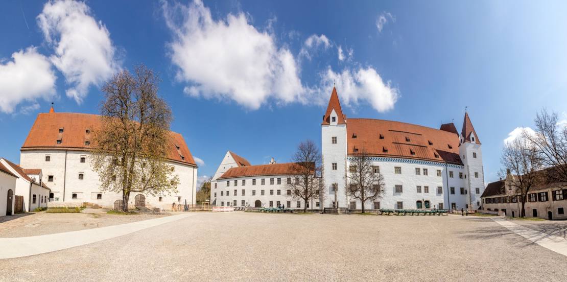
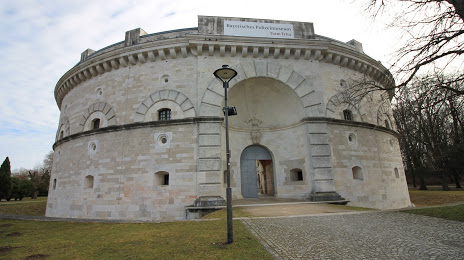
Attractions


Distance to the capital
Distance to the capital (Berlin) is about — 440 km.