
 Paterna de Rivera
Grisén
Villafranca de Córdoba
Estercuel
Villanueva de Perales
El Berrón
Torredonjimeno
Aceuchal
Vila-seca
Palol de Revardit
Moncofa
Almussafes
Albal
L'Alcora
Sant Joan de Moró
Mislata
Emperador
Camallera
Sant Joan de Mollet
Paterna de Rivera
Grisén
Villafranca de Córdoba
Estercuel
Villanueva de Perales
El Berrón
Torredonjimeno
Aceuchal
Vila-seca
Palol de Revardit
Moncofa
Almussafes
Albal
L'Alcora
Sant Joan de Moró
Mislata
Emperador
Camallera
Sant Joan de Mollet
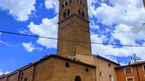
Tarazona on the map, Spain
Where is located Tarazona
Exact location — Tarazona, Zaragoza, Aragón, Spain, marked on the map with a red marker.
Coordinates
Tarazona, Spain coordinates in decimal format: latitude — 41.9042972, longitude — -1.7222535. When converted to degrees, minutes, seconds Tarazona has the following coordinates: 41°54′15.47 north latitude and -1°43′20.11 east longitude.
Population
Tarazona, Zaragoza, Aragón, Spain, according to our data the population is — 10,935 residents, which is about 0% of the total population of the country (Spain).
Comparison of the population on the graph:
Exact time
Time zone for this location Tarazona — UTC +2 Europe/Madrid. Exact time — wednesday, 5 may 2024 year, 14 h. 34 minutes.
Sunrise and sunset
Tarazona, sunrise and sunset data for a date — wednesday 15.05.2024.
| Sunrise | Sunset | Day (duration) |
|---|---|---|
| 06:49 -1 minute | 21:17 +1 minute | 14 h. 30 minutes. +2 minutes |
You can control the scale of the map using the auxiliary tools to find out exactly where it is located Tarazona. When you change the scale of the map, the width of the ruler also changes (in kilometers and miles).
Nearby cities
The largest cities that are located nearby:
- Zaragoza — 74 km
- Logroño — 85 km
- Pamplona — 101 km
- Vitoria-Gasteiz — 131 km
- San Sebastián — 158 km
- Burgos — 169 km
- Bilbao — 179 km
- Lleida — 196 km
- Alcala de Henares — 209 km
- Torrejón de Ardoz — 218 km
- Alcobendas — 221 km
- Santander — 240 km
- Getafe — 245 km
- Leganés — 245 km
- Alcorcón — 247 km
- Valladolid — 250 km
- Fuenlabrada — 250 km
- Móstoles — 252 km
- Tarragona — 262 km
Distance to neighboring capitals:
- Andorra la Vella
 (Andorra) — 276 km
 - Lisbon
 (Portugal) — 721 km
 - Paris
 (France) — 836 km
 - Paris (France) — 836 km
- Rabat
 (Morocco) — 990 km
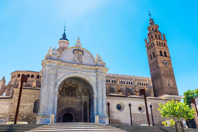
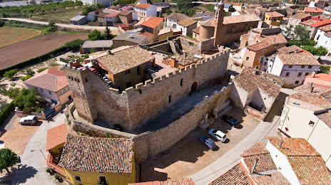
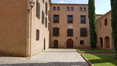
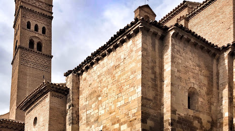
Attractions
Distance to the capital
Distance to the capital (Madrid) is about — 234 km.