
 El Arenal
Jafre
Cuevas de Almudén
Santa Pau
El Pinós
Platja d'Aro
Llutxent
Belmonte de Tajo
Llambilles
Tarancón
Bolaños de Calatrava
Hormilla
Griñón
Malgrat de Mar
Urdiales del Páramo
Gallur
Tarazona
Manzanares el Real
Guardamar del Segura
El Arenal
Jafre
Cuevas de Almudén
Santa Pau
El Pinós
Platja d'Aro
Llutxent
Belmonte de Tajo
Llambilles
Tarancón
Bolaños de Calatrava
Hormilla
Griñón
Malgrat de Mar
Urdiales del Páramo
Gallur
Tarazona
Manzanares el Real
Guardamar del Segura
Torredonjimeno on the map, Spain
Where is located Torredonjimeno
Exact location — Torredonjimeno, Jaén, Andalucía, Spain, marked on the map with a red marker.
Coordinates
Torredonjimeno, Spain coordinates in decimal format: latitude — 37.7665084, longitude — -3.9546877. When converted to degrees, minutes, seconds Torredonjimeno has the following coordinates: 37°45′59.43 north latitude and -3°57′16.88 east longitude.
Population
Torredonjimeno, Jaén, Andalucía, Spain, according to our data the population is — 13,701 residents, which is about 0% of the total population of the country (Spain).
Comparison of the population on the graph:
Exact time
Time zone for this location Torredonjimeno — UTC +2 Europe/Madrid. Exact time — friday, 5 may 2024 year, 14 h. 48 minutes.
Sunrise and sunset
Torredonjimeno, sunrise and sunset data for a date — friday 10.05.2024.
| Sunrise | Sunset | Day (duration) |
|---|---|---|
| 07:13 -1 minute | 21:11 +1 minute | 14 h. 0 minutes. +2 minutes |
You can control the scale of the map using the auxiliary tools to find out exactly where it is located Torredonjimeno. When you change the scale of the map, the width of the ruler also changes (in kilometers and miles).
Nearby cities
The largest cities that are located nearby:
- Jaén — 15 km
- Granada — 72 km
- Córdoba — 73 km
- Málaga — 123 km
- Marbella — 162 km
- Almería — 167 km
- Dos Hermanas — 181 km
- Algeciras — 224 km
- Albacete — 226 km
- Jerez — 227 km
- Murcia — 247 km
- Cádiz — 249 km
- Cartagena — 260 km
- Huelva — 269 km
- Tetouan
 (Morocco) — 274 km
 - Tangier (Morocco) — 279 km
- Fuenlabrada — 279 km
- Getafe — 282 km
- Móstoles — 283 km
Distance to neighboring capitals:
- Lisbon
 (Portugal) — 465 km
 - Rabat (Morocco) — 496 km
- Andorra la Vella
 (Andorra) — 703 km
 - Paris
 (France) — 1334 km
 - Paris (France) — 1334 km
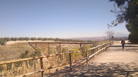
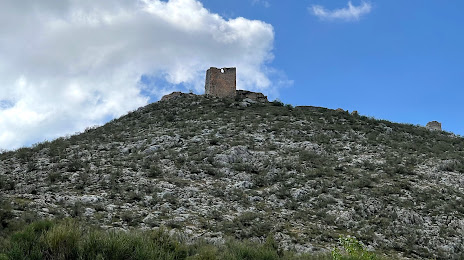
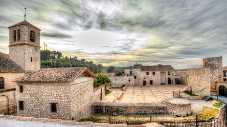
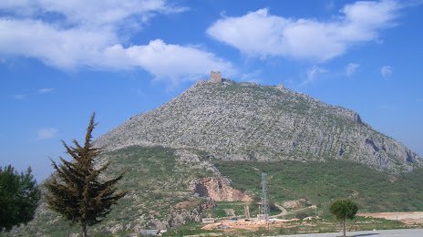
Attractions
Distance to the capital
Distance to the capital (Madrid) is about — 296 km.