
 Estercuel
Villanueva de Perales
El Berrón
Torredonjimeno
Aceuchal
Vila-seca
Almodóvar del Pinar
Son Servera
La Vall d'Uixó
Villadecanes
Pliego
Arroyo del Ojanco
Palol de Revardit
Moncofa
Almussafes
Albal
L'Alcora
Sant Joan de Moró
Mislata
Estercuel
Villanueva de Perales
El Berrón
Torredonjimeno
Aceuchal
Vila-seca
Almodóvar del Pinar
Son Servera
La Vall d'Uixó
Villadecanes
Pliego
Arroyo del Ojanco
Palol de Revardit
Moncofa
Almussafes
Albal
L'Alcora
Sant Joan de Moró
Mislata
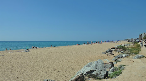
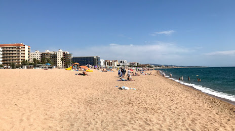
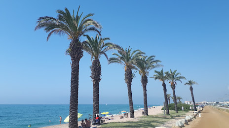
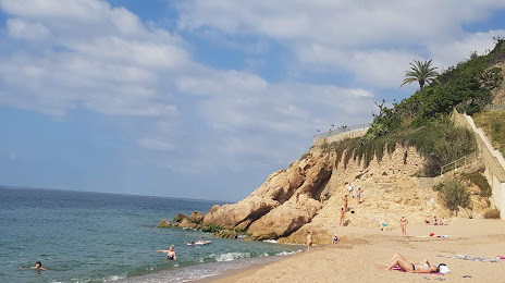
Malgrat de Mar on the map, Spain
Where is located Malgrat de Mar
Exact location — Malgrat de Mar, Barcelona, Catalunya, Spain, marked on the map with a red marker.
Coordinates
Malgrat de Mar, Spain coordinates in decimal format: latitude — 41.6455042, longitude — 2.7438793. When converted to degrees, minutes, seconds Malgrat de Mar has the following coordinates: 41°38′43.82 north latitude and 2°44′37.97 east longitude.
Population
Malgrat de Mar, Barcelona, Catalunya, Spain, according to our data the population is — 15,524 residents, which is about 0% of the total population of the country (Spain).
Comparison of the population on the graph:
Exact time
Time zone for this location Malgrat de Mar — UTC +2 Europe/Madrid. Exact time — wednesday, 5 may 2024 year, 17 h. 49 minutes.
Sunrise and sunset
Malgrat de Mar, sunrise and sunset data for a date — wednesday 15.05.2024.
| Sunrise | Sunset | Day (duration) |
|---|---|---|
| 06:32 -1 minute | 20:58 +1 minute | 14 h. 24 minutes. +2 minutes |
You can control the scale of the map using the auxiliary tools to find out exactly where it is located Malgrat de Mar. When you change the scale of the map, the width of the ruler also changes (in kilometers and miles).
Nearby cities
The largest cities that are located nearby:
- Mataró — 27 km
- Badalona — 47 km
- Santa Coloma de Gramenet — 49 km
- Sabadell — 54 km
- L'Hospitalet de Llobregat — 61 km
- Terrassa — 61 km
- Perpignan
 (France) — 116 km
 - Tarragona — 138 km
- Lleida — 176 km
- Palma — 230 km
- Montpellier (France) — 235 km
- Toulouse (France) — 240 km
- Nimes (France) — 274 km
- Marseille (France) — 279 km
- Zaragoza — 300 km
- Aix-en-Provence (France) — 301 km
- Toulon (France) — 305 km
- Valencia — 359 km
- Pamplona — 379 km
Distance to neighboring capitals:
- Andorra la Vella
 (Andorra) — 139 km
 - Paris (France) — 803 km
- Paris (France) — 803 km
- Lisbon
 (Portugal) — 1060 km
 - Rabat
 (Morocco) — 1198 km
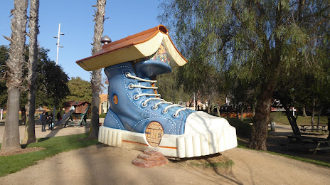
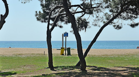
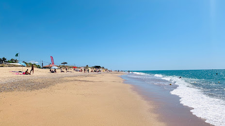
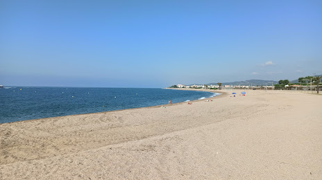
Attractions


Distance to the capital
Distance to the capital (Madrid) is about — 558 km.