
 El Pinós
Platja d'Aro
Llutxent
Belmonte de Tajo
Llambilles
Escucha
Torre de Arcas
Alcoletge
Calatayud
Agüimes
Cotes
A Laracha
Monòver
Tarancón
Bolaños de Calatrava
Hormilla
Griñón
Malgrat de Mar
Urdiales del Páramo
El Pinós
Platja d'Aro
Llutxent
Belmonte de Tajo
Llambilles
Escucha
Torre de Arcas
Alcoletge
Calatayud
Agüimes
Cotes
A Laracha
Monòver
Tarancón
Bolaños de Calatrava
Hormilla
Griñón
Malgrat de Mar
Urdiales del Páramo
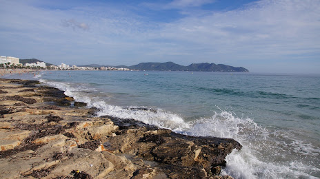
Son Servera on the map, Spain
Where is located Son Servera
Exact location — Son Servera, Illes Balears, Illes Balears, Spain, marked on the map with a red marker.
Coordinates
Son Servera, Spain coordinates in decimal format: latitude — 39.6201493, longitude — 3.3603044. When converted to degrees, minutes, seconds Son Servera has the following coordinates: 39°37′12.54 north latitude and 3°21′37.1 east longitude.
Population
Son Servera, Illes Balears, Illes Balears, Spain, according to our data the population is — 10,498 residents, which is about 0% of the total population of the country (Spain).
Comparison of the population on the graph:
Exact time
Time zone for this location Son Servera — UTC +2 Europe/Madrid. Exact time — friday, 5 may 2024 year, 20 h. 58 minutes.
Sunrise and sunset
Son Servera, sunrise and sunset data for a date — friday 10.05.2024.
| Sunrise | Sunset | Day (duration) |
|---|---|---|
| 06:39 -1 minute | 20:46 +1 minute | 14 h. 6 minutes. +2 minutes |
You can control the scale of the map using the auxiliary tools to find out exactly where it is located Son Servera. When you change the scale of the map, the width of the ruler also changes (in kilometers and miles).
Nearby cities
The largest cities that are located nearby:
- Palma — 61 km
- L'Hospitalet de Llobregat — 219 km
- Badalona — 222 km
- Santa Coloma de Gramenet — 223 km
- Mataró — 225 km
- Sabadell — 237 km
- Tarragona — 242 km
- Terrassa — 242 km
- Lleida — 316 km
- Sidi M'Hamed
 (Algeria) — 317 km
 - Valencia — 319 km
- Perpignan
 (France) — 341 km
 - Bejaia (Algeria) — 351 km
- Médéa (Algeria) — 375 km
- Bou Arreridj Bordj (Algeria) — 412 km
- Zaragoza — 417 km
- Setif (Algeria) — 421 km
- Chlef (Algeria) — 423 km
- Murcia — 431 km
Distance to neighboring capitals:
- Andorra la Vella
 (Andorra) — 356 km
 - Paris (France) — 1030 km
- Paris (France) — 1030 km
- Lisbon
 (Portugal) — 1082 km
 - Rabat
 (Morocco) — 1104 km
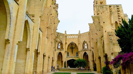
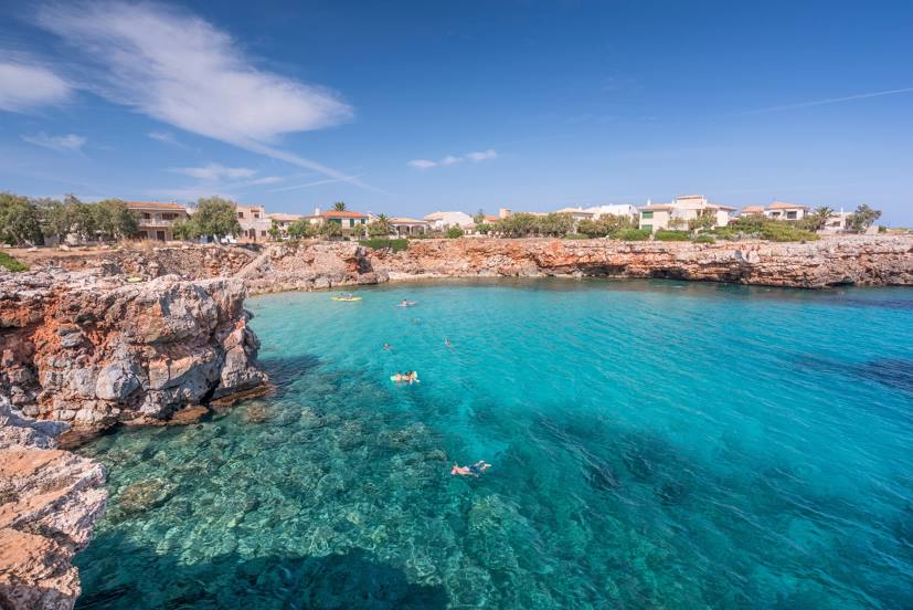
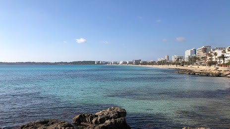
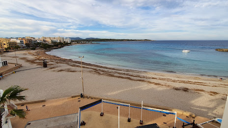
Attractions
Distance to the capital
Distance to the capital (Madrid) is about — 608 km.