
 Aceuchal
Vila-seca
Almodóvar del Pinar
Son Servera
La Vall d'Uixó
Tricio
Madremanya
Benicàssim
Torroella de Montgrí
Vilches
Oleiros
Monforte de Lemos
Sopelana
Villadecanes
Pliego
Arroyo del Ojanco
Palol de Revardit
Moncofa
Almussafes
Aceuchal
Vila-seca
Almodóvar del Pinar
Son Servera
La Vall d'Uixó
Tricio
Madremanya
Benicàssim
Torroella de Montgrí
Vilches
Oleiros
Monforte de Lemos
Sopelana
Villadecanes
Pliego
Arroyo del Ojanco
Palol de Revardit
Moncofa
Almussafes
Tarancón on the map, Spain
Where is located Tarancón
Exact location — Tarancón, Cuenca, Castilla-La Mancha, Spain, marked on the map with a red marker.
Coordinates
Tarancón, Spain coordinates in decimal format: latitude — 40.0105152, longitude — -3.0074463. When converted to degrees, minutes, seconds Tarancón has the following coordinates: 40°0′37.85 north latitude and -3°0′26.81 east longitude.
Population
Tarancón, Cuenca, Castilla-La Mancha, Spain, according to our data the population is — 12,081 residents, which is about 0% of the total population of the country (Spain).
Comparison of the population on the graph:
Exact time
Time zone for this location Tarancón — UTC +2 Europe/Madrid. Exact time — saturday, 4 april 2024 year, 20 h. 25 minutes.
Sunrise and sunset
Tarancón, sunrise and sunset data for a date — saturday 27.04.2024.
| Sunrise | Sunset | Day (duration) |
|---|---|---|
| 07:19 -1 minute | 20:59 +1 minute | 13 h. 42 minutes. +2 minutes |
You can control the scale of the map using the auxiliary tools to find out exactly where it is located Tarancón. When you change the scale of the map, the width of the ruler also changes (in kilometers and miles).
Nearby cities
The largest cities that are located nearby:
- Alcala de Henares — 60 km
- Torrejón de Ardoz — 63 km
- Getafe — 69 km
- Leganés — 73 km
- Fuenlabrada — 74 km
- Alcorcón — 78 km
- Alcobendas — 79 km
- Móstoles — 80 km
- Albacete — 150 km
- Valladolid — 230 km
- Valencia — 232 km
- Salamanca — 246 km
- Zaragoza — 252 km
- Jaén — 256 km
- Burgos — 264 km
- Logroño — 275 km
- Murcia — 277 km
- Córdoba — 281 km
- Vitoria-Gasteiz — 316 km
Distance to neighboring capitals:
- Andorra la Vella
 (Andorra) — 469 km
 - Lisbon
 (Portugal) — 546 km
 - Rabat
 (Morocco) — 753 km
 - Paris
 (France) — 1071 km
 - Paris (France) — 1071 km
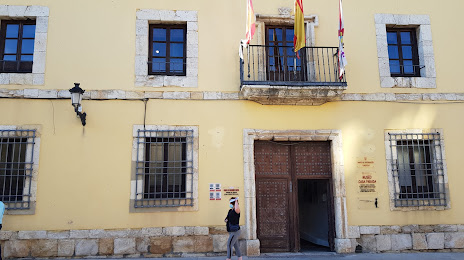
Attractions

Distance to the capital
Distance to the capital (Madrid) is about — 74 km.