
 Tarancón
Monòver
A Laracha
Cotes
Agüimes
Paterna de Rivera
Grisén
Villafranca de Córdoba
Estercuel
Sant Joan de Moró
Mislata
Emperador
Camallera
Sant Joan de Mollet
Saus
Toro
Parada de Rubiales
Villaescusa de Haro
La Orbada
Tarancón
Monòver
A Laracha
Cotes
Agüimes
Paterna de Rivera
Grisén
Villafranca de Córdoba
Estercuel
Sant Joan de Moró
Mislata
Emperador
Camallera
Sant Joan de Mollet
Saus
Toro
Parada de Rubiales
Villaescusa de Haro
La Orbada
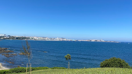
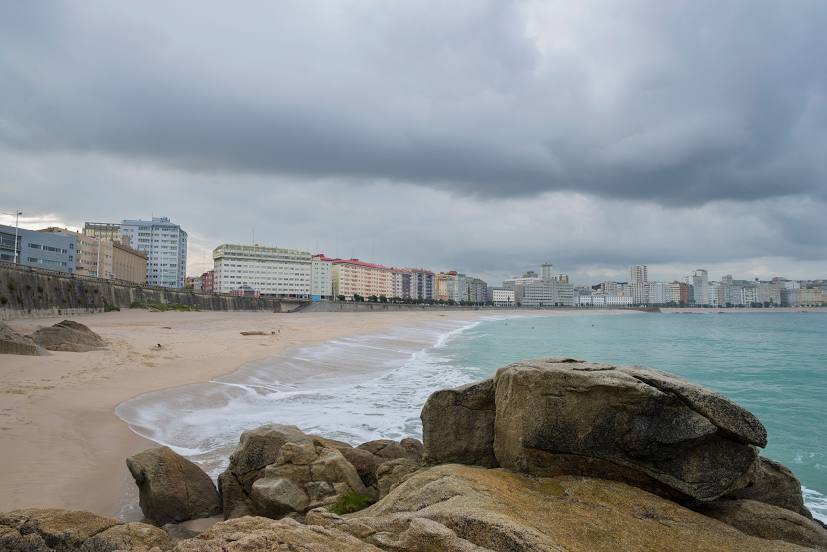
Oleiros on the map, Spain
Where is located Oleiros
Exact location — Oleiros, A Coruña, Galicia, Spain, marked on the map with a red marker.
Coordinates
Oleiros, Spain coordinates in decimal format: latitude — 43.3327059, longitude — -8.3157003. When converted to degrees, minutes, seconds Oleiros has the following coordinates: 43°19′57.74 north latitude and -8°18′56.52 east longitude.
Population
Oleiros, A Coruña, Galicia, Spain, according to our data the population is — 27,510 residents, which is about 0.1% of the total population of the country (Spain).
Comparison of the population on the graph:
Exact time
Time zone for this location Oleiros — UTC +2 Europe/Madrid. Exact time — friday, 5 may 2024 year, 02 h. 22 minutes.
Sunrise and sunset
Oleiros, sunrise and sunset data for a date — friday 10.05.2024.
| Sunrise | Sunset | Day (duration) |
|---|---|---|
| 07:17 -1 minute | 21:41 +1 minute | 14 h. 24 minutes. +2 minutes |
You can control the scale of the map using the auxiliary tools to find out exactly where it is located Oleiros. When you change the scale of the map, the width of the ruler also changes (in kilometers and miles).
Nearby cities
The largest cities that are located nearby:
- A Coruña — 8 km
- Ourense — 116 km
- Vigo — 125 km
- Braga
 (Portugal) — 198 km
 - Oviedo — 198 km
- Gijón — 214 km
- León — 238 km
- Porto (Portugal) — 242 km
- Salamanca — 342 km
- Coimbra (Portugal) — 346 km
- Valladolid — 350 km
- Santander — 362 km
- Burgos — 393 km
- Bilbao — 433 km
- Vitoria-Gasteiz — 460 km
- Logroño — 488 km
- Alcobendas — 500 km
- Móstoles — 501 km
- Alcorcón — 502 km
Distance to neighboring capitals:
- Lisbon (Portugal) — 517 km
- Andorra la Vella
 (Andorra) — 806 km
 - Paris
 (France) — 1025 km
 - Paris (France) — 1025 km
- Rabat
 (Morocco) — 1049 km
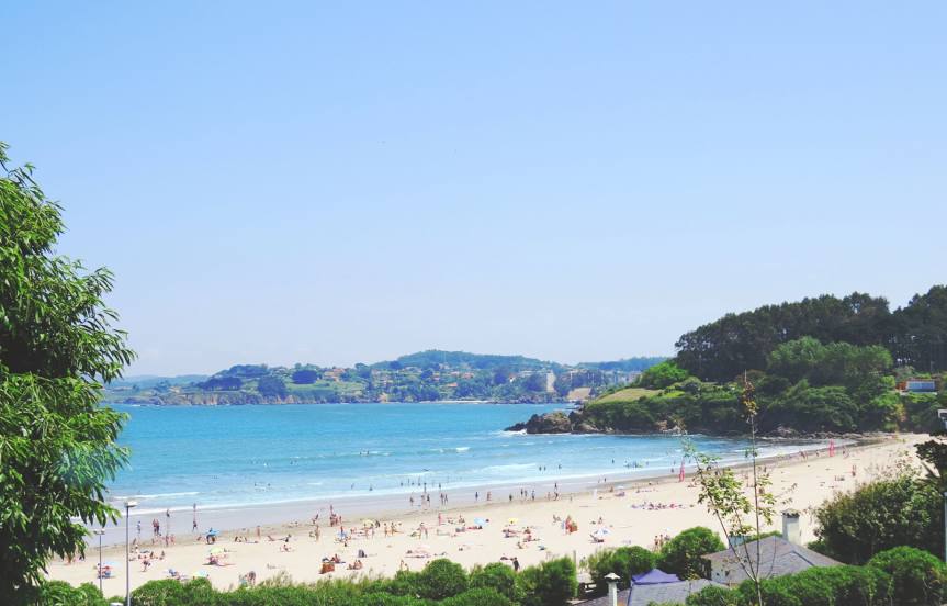
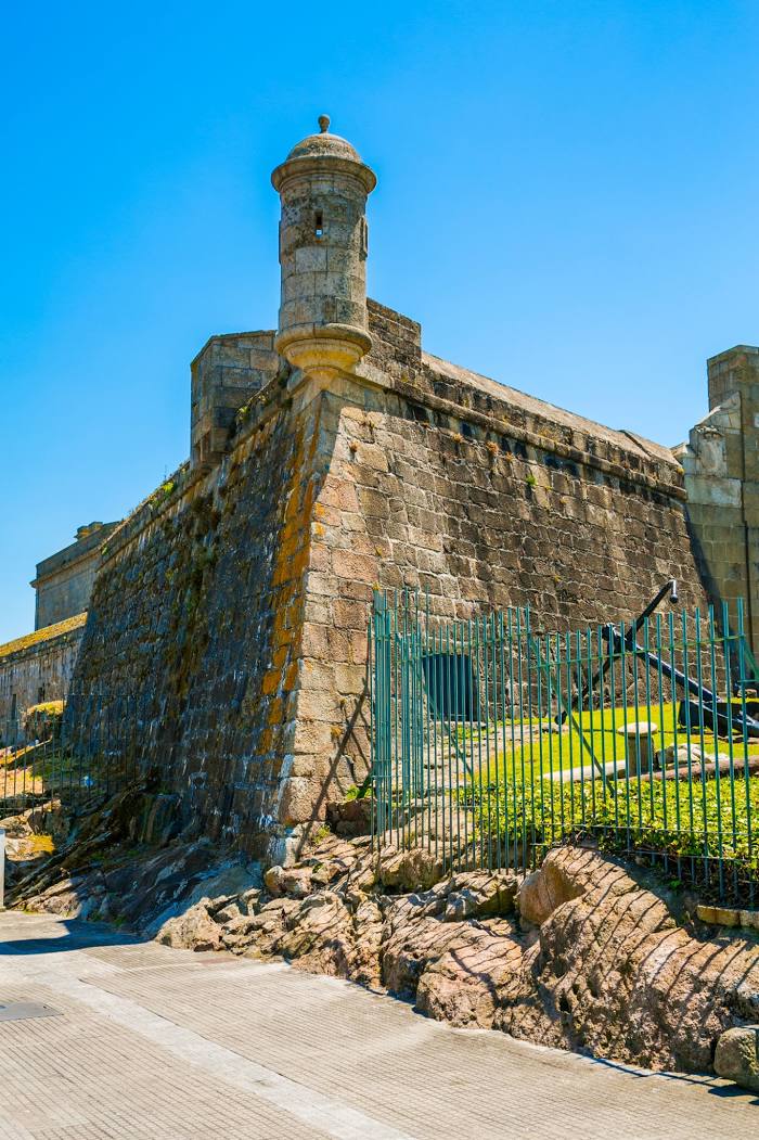
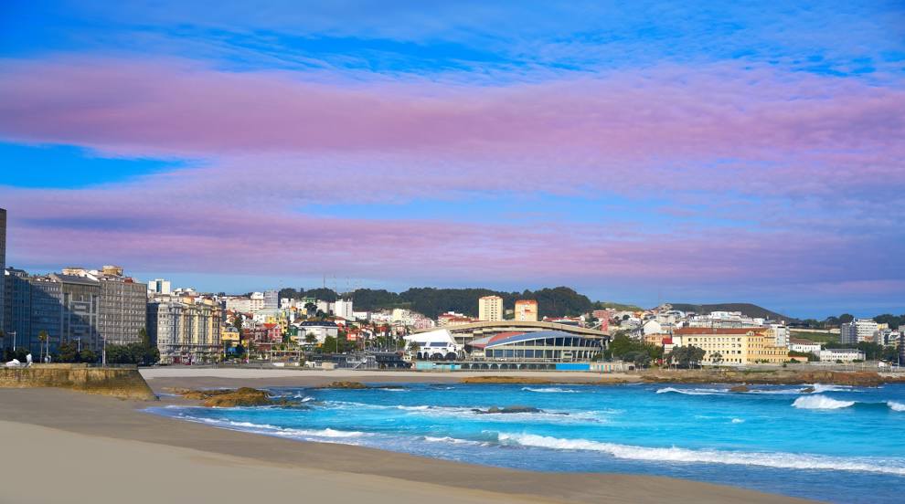
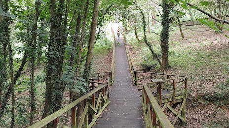
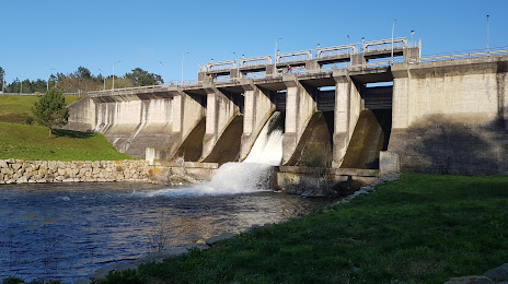
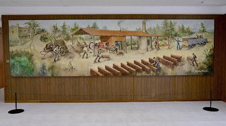
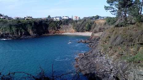
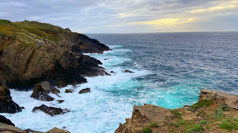
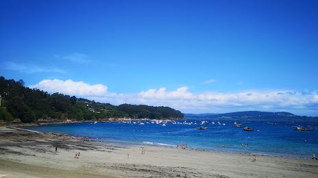
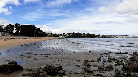
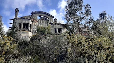
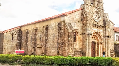
Attractions


Distance to the capital
Distance to the capital (Madrid) is about — 501 km.