
 Biar
Casas del Monte
Torrenueva
Ullà
Redondela
El Pedroso
Alguazas
Azuara
Villanueva de Gómez
La Cañada de Verich
Santa Cristina d'Aro
Moral de Calatrava
Melarde
Somo
A Pobra do Caramiñal
Rincón de Soto
Valles de Palenzuela
Villavieja del Lozoya
Arroyomolinos
Biar
Casas del Monte
Torrenueva
Ullà
Redondela
El Pedroso
Alguazas
Azuara
Villanueva de Gómez
La Cañada de Verich
Santa Cristina d'Aro
Moral de Calatrava
Melarde
Somo
A Pobra do Caramiñal
Rincón de Soto
Valles de Palenzuela
Villavieja del Lozoya
Arroyomolinos
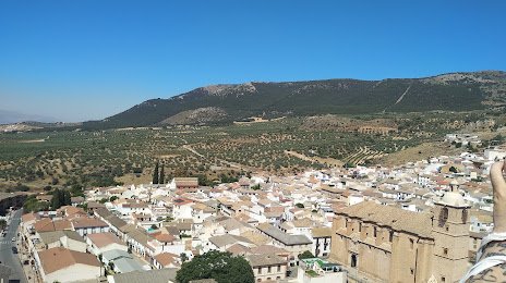
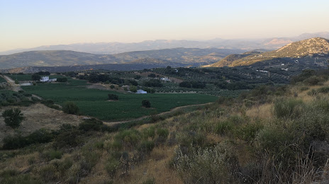
Íllora on the map, Spain
Where is located Íllora
Exact location — Íllora, Granada, Andalucía, Spain, marked on the map with a red marker.
Coordinates
Íllora, Spain coordinates in decimal format: latitude — 37.2869036, longitude — -3.880361. When converted to degrees, minutes, seconds Íllora has the following coordinates: 37°17′12.85 north latitude and -3°52′49.3 east longitude.
Population
Íllora, Granada, Andalucía, Spain, according to our data the population is — 10,876 residents, which is about 0% of the total population of the country (Spain).
Comparison of the population on the graph:
Exact time
Time zone for this location Íllora — UTC +2 Europe/Madrid. Exact time — thursday, 5 may 2024 year, 12 h. 47 minutes.
Sunrise and sunset
Íllora, sunrise and sunset data for a date — thursday 2.05.2024.
| Sunrise | Sunset | Day (duration) |
|---|---|---|
| 07:21 -2 minutes | 21:03 +1 minute | 13 h. 42 minutes. +3 minutes |
You can control the scale of the map using the auxiliary tools to find out exactly where it is located Íllora. When you change the scale of the map, the width of the ruler also changes (in kilometers and miles).
Nearby cities
The largest cities that are located nearby:
- Granada — 28 km
- Jaén — 55 km
- Málaga — 79 km
- Córdoba — 103 km
- Marbella — 124 km
- Almería — 135 km
- Dos Hermanas — 180 km
- Algeciras — 189 km
- Jerez — 210 km
- Cádiz — 230 km
- Tetouan
 (Morocco) — 232 km
 - Tangier (Morocco) — 243 km
- Nador (Morocco) — 250 km
- Murcia — 252 km
- Cartagena — 255 km
- Albacete — 257 km
- Huelva — 270 km
- Taounate (Morocco) — 312 km
- Badajoz — 319 km
Distance to neighboring capitals:
- Rabat (Morocco) — 456 km
- Lisbon
 (Portugal) — 488 km
 - Andorra la Vella
 (Andorra) — 741 km
 - Paris
 (France) — 1382 km
 - Paris (France) — 1382 km
Attractions
Distance to the capital
Distance to the capital (Madrid) is about — 348 km.