
 Sorbas
Villalar de los Comuneros
Ares
Vilanova D`Alcolea
Sudanell
Ribadavia
La Oliva
Esponellà
Fene
Ibarra
Ciudad Rodrigo
Ausejo
Pedrajas de San Esteban
Santovenia de la Valdoncina
Íllora
Costur
Milagro
Cartagena
Camprovín
Sorbas
Villalar de los Comuneros
Ares
Vilanova D`Alcolea
Sudanell
Ribadavia
La Oliva
Esponellà
Fene
Ibarra
Ciudad Rodrigo
Ausejo
Pedrajas de San Esteban
Santovenia de la Valdoncina
Íllora
Costur
Milagro
Cartagena
Camprovín
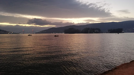
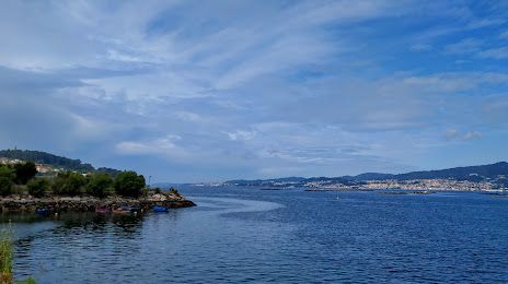
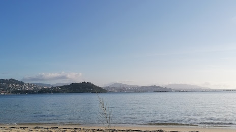
Redondela on the map, Spain
Where is located Redondela
Exact location — Redondela, Pontevedra, Galicia, Spain, marked on the map with a red marker.
Coordinates
Redondela, Spain coordinates in decimal format: latitude — 42.2818519, longitude — -8.6091703. When converted to degrees, minutes, seconds Redondela has the following coordinates: 42°16′54.67 north latitude and -8°36′33.01 east longitude.
Population
Redondela, Pontevedra, Galicia, Spain, according to our data the population is — 29,583 residents, which is about 0.1% of the total population of the country (Spain).
Comparison of the population on the graph:
Exact time
Time zone for this location Redondela — UTC +2 Europe/Madrid. Exact time — tuesday, 5 may 2024 year, 09 h. 35 minutes.
Sunrise and sunset
Redondela, sunrise and sunset data for a date — tuesday 14.05.2024.
| Sunrise | Sunset | Day (duration) |
|---|---|---|
| 07:16 -2 minutes | 21:44 +1 minute | 14 h. 30 minutes. +3 minutes |
You can control the scale of the map using the auxiliary tools to find out exactly where it is located Redondela. When you change the scale of the map, the width of the ruler also changes (in kilometers and miles).
Nearby cities
The largest cities that are located nearby:
- Vigo — 10 km
- Ourense — 61 km
- Braga
 (Portugal) — 83 km
 - A Coruña — 121 km
- Porto (Portugal) — 124 km
- Coimbra (Portugal) — 230 km
- León — 250 km
- Oviedo — 252 km
- Gijón — 274 km
- Salamanca — 285 km
- Valladolid — 328 km
- Amadora (Portugal) — 393 km
- Queluz (Portugal) — 394 km
- Lisbon (Portugal) — 396 km
- Burgos — 401 km
- Badajoz — 402 km
- Santander — 407 km
- Móstoles — 455 km
- Alcorcón — 456 km
Distance to neighboring capitals:
- Lisbon (Portugal) — 398 km
- Andorra la Vella
 (Andorra) — 832 km
 - Rabat
 (Morocco) — 937 km
 - Paris
 (France) — 1122 km
 - Paris (France) — 1122 km
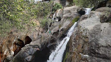
Attractions
Distance to the capital
Distance to the capital (Madrid) is about — 459 km.