
 Redondela
El Pedroso
Alguazas
Azuara
Villanueva de Gómez
Nambroca
Camarenilla
Las Ventas de Retamosa
Cabezarrubias del Puerto
A Pobra de Trives
Sant Joan de Moró
Piera
Vilagarcía de Arousa
La Cañada de Verich
Santa Cristina d'Aro
Moral de Calatrava
Melarde
Somo
A Pobra do Caramiñal
Redondela
El Pedroso
Alguazas
Azuara
Villanueva de Gómez
Nambroca
Camarenilla
Las Ventas de Retamosa
Cabezarrubias del Puerto
A Pobra de Trives
Sant Joan de Moró
Piera
Vilagarcía de Arousa
La Cañada de Verich
Santa Cristina d'Aro
Moral de Calatrava
Melarde
Somo
A Pobra do Caramiñal
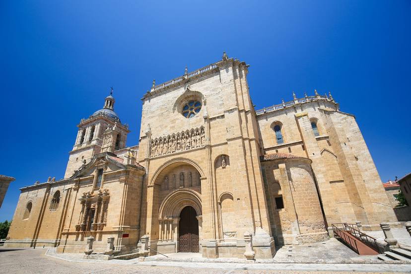
Ciudad Rodrigo on the map, Spain
Where is located Ciudad Rodrigo
Exact location — Ciudad Rodrigo, Salamanca, Castile and León, Spain, marked on the map with a red marker.
Coordinates
Ciudad Rodrigo, Spain coordinates in decimal format: latitude — 40.599733, longitude — -6.5329775. When converted to degrees, minutes, seconds Ciudad Rodrigo has the following coordinates: 40°35′59.04 north latitude and -6°31′58.72 east longitude.
Population
Ciudad Rodrigo, Salamanca, Castile and León, Spain, according to our data the population is — 14,080 residents, which is about 0% of the total population of the country (Spain).
Comparison of the population on the graph:
Exact time
Time zone for this location Ciudad Rodrigo — UTC +2 Europe/Madrid. Exact time — thursday, 5 may 2024 year, 13 h. 03 minutes.
Sunrise and sunset
Ciudad Rodrigo, sunrise and sunset data for a date — thursday 2.05.2024.
| Sunrise | Sunset | Day (duration) |
|---|---|---|
| 07:26 -1 minute | 21:20 +2 minutes | 13 h. 54 minutes. +3 minutes |
You can control the scale of the map using the auxiliary tools to find out exactly where it is located Ciudad Rodrigo. When you change the scale of the map, the width of the ruler also changes (in kilometers and miles).
Nearby cities
The largest cities that are located nearby:
- Salamanca — 83 km
- Coimbra
 (Portugal) — 164 km
 - Porto (Portugal) — 185 km
- Braga (Portugal) — 188 km
- Valladolid — 189 km
- Badajoz — 194 km
- Ourense — 221 km
- Móstoles — 227 km
- Alcorcón — 230 km
- Fuenlabrada — 233 km
- León — 235 km
- Leganés — 235 km
- Getafe — 238 km
- Alcobendas — 243 km
- Vigo — 255 km
- Torrejón de Ardoz — 258 km
- Alcala de Henares — 267 km
- Burgos — 302 km
- Lisbon (Portugal) — 306 km
Distance to neighboring capitals:
- Lisbon (Portugal) — 306 km
- Andorra la Vella
 (Andorra) — 703 km
 - Rabat
 (Morocco) — 738 km
 - Paris
 (France) — 1154 km
 - Paris (France) — 1154 km
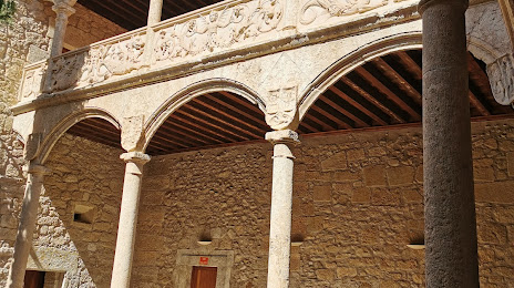
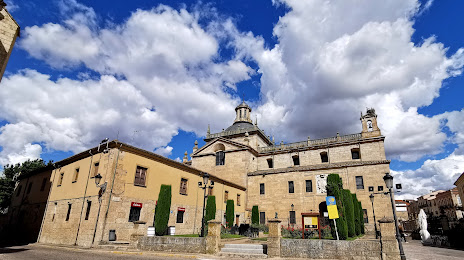
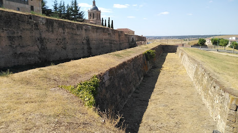
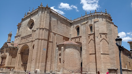
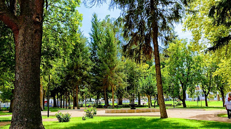
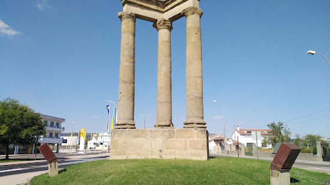
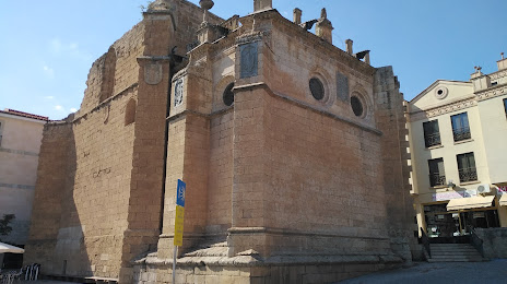
Attractions

Distance to the capital
Distance to the capital (Madrid) is about — 240 km.