
 Pedrajas de San Esteban
Ausejo
Ciudad Rodrigo
Ibarra
Villores
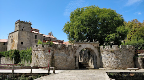
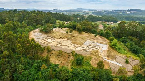
Mos
La Grajuela
Manilva
Garrigàs
Sarratella
Escalona del Alberche
Tejina
Calatayud
Alcoletge
Torre de Arcas
Escucha
Llambilles
Belmonte de Tajo
Llutxent
Pedrajas de San Esteban
Ausejo
Ciudad Rodrigo
Ibarra
Villores
Mos
La Grajuela
Manilva
Garrigàs
Sarratella
Escalona del Alberche
Tejina
Calatayud
Alcoletge
Torre de Arcas
Escucha
Llambilles
Belmonte de Tajo
Llutxent
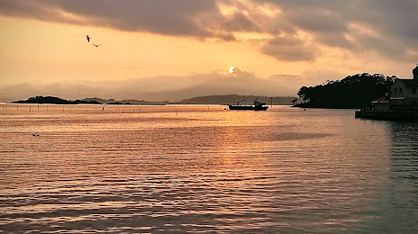
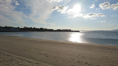
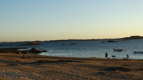
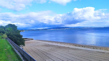
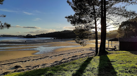
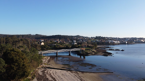
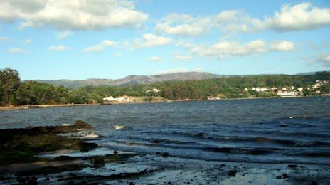
Vilagarcía de Arousa on the map, Spain
Where is located Vilagarcía de Arousa
Exact location — Vilagarcía de Arousa, Pontevedra, Galicia, Spain, marked on the map with a red marker.
Coordinates
Vilagarcía de Arousa, Spain coordinates in decimal format: latitude — 42.5953513, longitude — -8.7659082. When converted to degrees, minutes, seconds Vilagarcía de Arousa has the following coordinates: 42°35′43.26 north latitude and -8°45′57.27 east longitude.
Population
Vilagarcía de Arousa, Pontevedra, Galicia, Spain, according to our data the population is — 37,576 residents, which is about 0.1% of the total population of the country (Spain).
Comparison of the population on the graph:
Exact time
Time zone for this location Vilagarcía de Arousa — UTC +2 Europe/Madrid. Exact time — friday, 5 may 2024 year, 12 h. 43 minutes.
Sunrise and sunset
Vilagarcía de Arousa, sunrise and sunset data for a date — friday 3.05.2024.
| Sunrise | Sunset | Day (duration) |
|---|---|---|
| 07:29 -1 minute | 21:34 +1 minute | 14 h. 6 minutes. +2 minutes |
You can control the scale of the map using the auxiliary tools to find out exactly where it is located Vilagarcía de Arousa. When you change the scale of the map, the width of the ruler also changes (in kilometers and miles).
Nearby cities
The largest cities that are located nearby:
- Vigo — 39 km
- Ourense — 79 km
- A Coruña — 89 km
- Braga
 (Portugal) — 119 km
 - Porto (Portugal) — 159 km
- Oviedo — 249 km
- León — 260 km
- Coimbra (Portugal) — 266 km
- Gijón — 270 km
- Salamanca — 315 km
- Valladolid — 350 km
- Santander — 409 km
- Burgos — 415 km
- Amadora (Portugal) — 426 km
- Queluz (Portugal) — 426 km
- Lisbon (Portugal) — 429 km
- Badajoz — 439 km
- Bilbao — 475 km
- Móstoles — 483 km
Distance to neighboring capitals:
- Lisbon (Portugal) — 432 km
- Andorra la Vella
 (Andorra) — 842 km
 - Rabat
 (Morocco) — 974 km
 - Paris
 (France) — 1107 km
 - Paris (France) — 1107 km
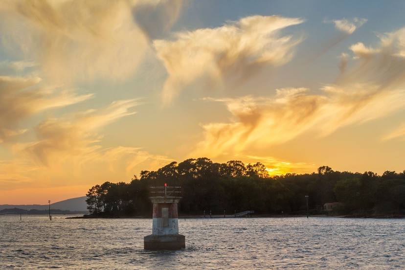
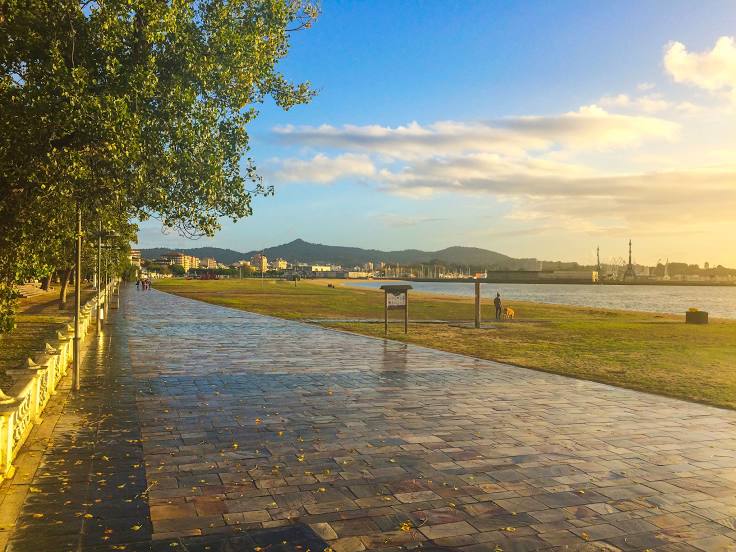
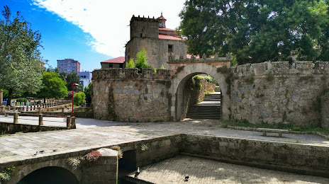
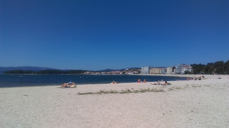
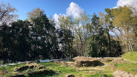
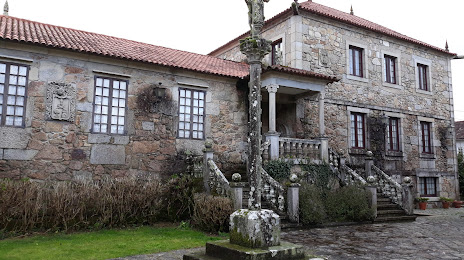
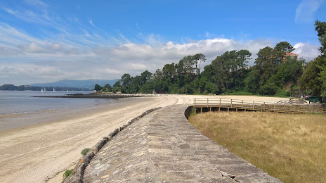
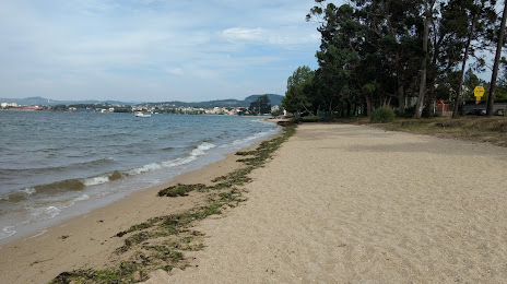
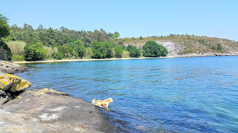
Attractions


Distance to the capital
Distance to the capital (Madrid) is about — 486 km.