
 Ausejo
Ciudad Rodrigo
Ibarra
Villores
Mos
La Grajuela
Manilva
Garrigàs
Tuixent
Arroyomolinos
Sarratella
Escalona del Alberche
Tejina
Calatayud
Alcoletge
Torre de Arcas
Escucha
Llambilles
Belmonte de Tajo
Ausejo
Ciudad Rodrigo
Ibarra
Villores
Mos
La Grajuela
Manilva
Garrigàs
Tuixent
Arroyomolinos
Sarratella
Escalona del Alberche
Tejina
Calatayud
Alcoletge
Torre de Arcas
Escucha
Llambilles
Belmonte de Tajo
Piera on the map, Spain
Where is located Piera
Exact location — Piera, Barcelona, Catalunya, Spain, marked on the map with a red marker.
Coordinates
Piera, Spain coordinates in decimal format: latitude — 41.5217462, longitude — 1.7502311. When converted to degrees, minutes, seconds Piera has the following coordinates: 41°31′18.29 north latitude and 1°45′0.83 east longitude.
Population
Piera, Barcelona, Catalunya, Spain, according to our data the population is — 12,024 residents, which is about 0% of the total population of the country (Spain).
Comparison of the population on the graph:
Exact time
Time zone for this location Piera — UTC +2 Europe/Madrid. Exact time — wednesday, 5 may 2024 year, 22 h. 48 minutes.
Sunrise and sunset
Piera, sunrise and sunset data for a date — wednesday 8.05.2024.
| Sunrise | Sunset | Day (duration) |
|---|---|---|
| 06:43 -2 minutes | 20:55 +1 minute | 14 h. 12 minutes. +3 minutes |
You can control the scale of the map using the auxiliary tools to find out exactly where it is located Piera. When you change the scale of the map, the width of the ruler also changes (in kilometers and miles).
Nearby cities
The largest cities that are located nearby:
- Terrassa — 22 km
- Sabadell — 30 km
- L'Hospitalet de Llobregat — 35 km
- Santa Coloma de Gramenet — 39 km
- Badalona — 42 km
- Mataró — 58 km
- Tarragona — 61 km
- Lleida — 94 km
- Perpignan
 (France) — 159 km
 - Zaragoza — 219 km
- Palma — 229 km
- Toulouse (France) — 232 km
- Montpellier (France) — 287 km
- Valencia — 291 km
- Pamplona — 310 km
- Nimes (France) — 330 km
- Marseille (France) — 351 km
- Logroño — 358 km
- San Sebastián — 360 km
Distance to neighboring capitals:
- Andorra la Vella
 (Andorra) — 111 km
 - Paris (France) — 817 km
- Paris (France) — 817 km
- Lisbon
 (Portugal) — 976 km
 - Rabat
 (Morocco) — 1129 km
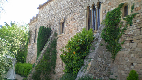
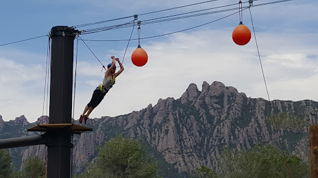
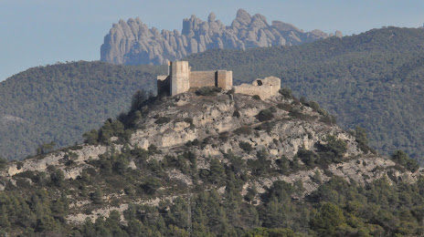
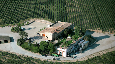
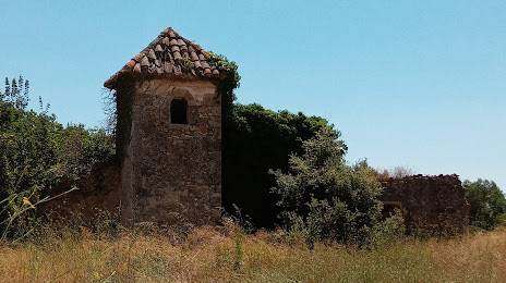
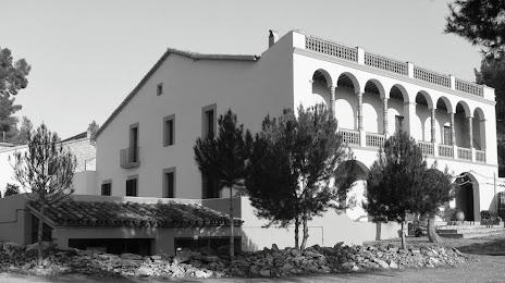
Attractions


Distance to the capital
Distance to the capital (Madrid) is about — 474 km.