
 El Fresno
Tomares
Llagostera
Marlofa
Pedrola
Pallejà
Ayamonte
Iznájar
Alcublas
Rute
Cabezarrubias del Puerto
Las Ventas de Retamosa
Camarenilla
Nambroca
Villanueva de Gómez
Azuara
Alguazas
El Pedroso
Redondela
El Fresno
Tomares
Llagostera
Marlofa
Pedrola
Pallejà
Ayamonte
Iznájar
Alcublas
Rute
Cabezarrubias del Puerto
Las Ventas de Retamosa
Camarenilla
Nambroca
Villanueva de Gómez
Azuara
Alguazas
El Pedroso
Redondela
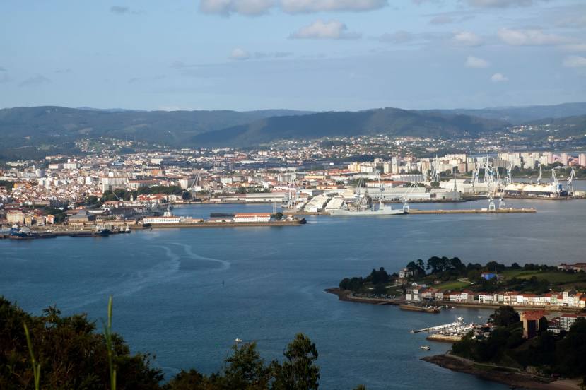
Fene on the map, Spain
Where is located Fene
Exact location — Fene, A Coruña, Galicia, Spain, marked on the map with a red marker.
Coordinates
Fene, Spain coordinates in decimal format: latitude — 43.475298, longitude — -8.1662448. When converted to degrees, minutes, seconds Fene has the following coordinates: 43°28′31.07 north latitude and -8°9′58.48 east longitude.
Population
Fene, A Coruña, Galicia, Spain, according to our data the population is — 14,633 residents, which is about 0% of the total population of the country (Spain).
Comparison of the population on the graph:
Exact time
Time zone for this location Fene — UTC +2 Europe/Madrid. Exact time — monday, 5 may 2024 year, 15 h. 19 minutes.
Sunrise and sunset
Fene, sunrise and sunset data for a date — monday 13.05.2024.
| Sunrise | Sunset | Day (duration) |
|---|---|---|
| 07:13 -1 minute | 21:44 +1 minute | 14 h. 30 minutes. +2 minutes |
You can control the scale of the map using the auxiliary tools to find out exactly where it is located Fene. When you change the scale of the map, the width of the ruler also changes (in kilometers and miles).
Nearby cities
The largest cities that are located nearby:
- A Coruña — 23 km
- Ourense — 128 km
- Vigo — 144 km
- Oviedo — 187 km
- Gijón — 201 km
- Braga
 (Portugal) — 214 km
 - León — 233 km
- Porto (Portugal) — 259 km
- Salamanca — 347 km
- Valladolid — 349 km
- Santander — 350 km
- Coimbra (Portugal) — 362 km
- Burgos — 386 km
- Bilbao — 422 km
- Vitoria-Gasteiz — 450 km
- Logroño — 480 km
- San Sebastián — 498 km
- Alcobendas — 500 km
- Móstoles — 503 km
Distance to neighboring capitals:
- Lisbon (Portugal) — 535 km
- Andorra la Vella
 (Andorra) — 795 km
 - Paris
 (France) — 1006 km
 - Paris (France) — 1006 km
- Rabat
 (Morocco) — 1063 km
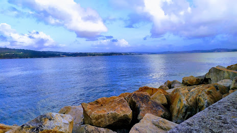
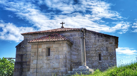
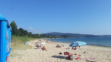
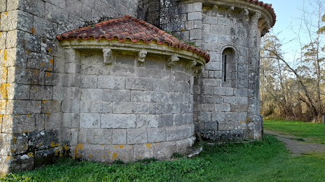
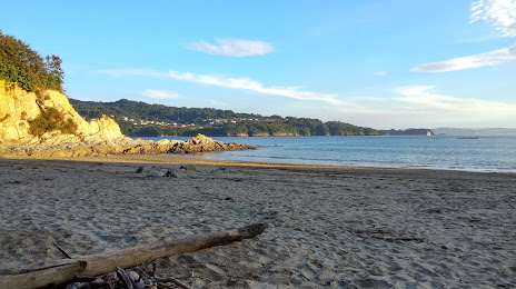
Attractions


Distance to the capital
Distance to the capital (Madrid) is about — 502 km.