
 Cómpeta
Porto
Lugones
Navalmoral de la Mata
Don Álvaro
Pozuelo de Tábara
Pinseque
Santisteban del Puerto
Guardiola de Berguedà
Torralbilla
Falset
Fene
Esponellà
La Oliva
Ribadavia
Sudanell
Vilanova D`Alcolea
Ares
Villalar de los Comuneros
Cómpeta
Porto
Lugones
Navalmoral de la Mata
Don Álvaro
Pozuelo de Tábara
Pinseque
Santisteban del Puerto
Guardiola de Berguedà
Torralbilla
Falset
Fene
Esponellà
La Oliva
Ribadavia
Sudanell
Vilanova D`Alcolea
Ares
Villalar de los Comuneros
Tomares on the map, Spain
Where is located Tomares
Exact location — Tomares, Sevilla, Andalucía, Spain, marked on the map with a red marker.
Coordinates
Tomares, Spain coordinates in decimal format: latitude — 37.375855, longitude — -6.0450059. When converted to degrees, minutes, seconds Tomares has the following coordinates: 37°22′33.08 north latitude and -6°2′42.02 east longitude.
Population
Tomares, Sevilla, Andalucía, Spain, according to our data the population is — 18,796 residents, which is about 0% of the total population of the country (Spain).
Comparison of the population on the graph:
Exact time
Time zone for this location Tomares — UTC +2 Europe/Madrid. Exact time — sunday, 5 may 2024 year, 21 h. 00 minutes.
Sunrise and sunset
Tomares, sunrise and sunset data for a date — sunday 12.05.2024.
| Sunrise | Sunset | Day (duration) |
|---|---|---|
| 07:20 -1 minute | 21:20 +1 minute | 14 h. 0 minutes. +2 minutes |
You can control the scale of the map using the auxiliary tools to find out exactly where it is located Tomares. When you change the scale of the map, the width of the ruler also changes (in kilometers and miles).
Nearby cities
The largest cities that are located nearby:
- Dos Hermanas — 15 km
- Jerez — 77 km
- Huelva — 80 km
- Cádiz — 96 km
- Córdoba — 124 km
- Marbella — 141 km
- Algeciras — 146 km
- Málaga — 159 km
- Tangier
 (Morocco) — 180 km
 - Badajoz — 184 km
- Jaén — 202 km
- Tetouan (Morocco) — 209 km
- Granada — 217 km
- Lisbon
 (Portugal) — 306 km
 - Amadora (Portugal) — 314 km
- Queluz (Portugal) — 316 km
- Almería — 323 km
- Taounate (Morocco) — 339 km
- Kenitra (Morocco) — 349 km
Distance to neighboring capitals:
- Lisbon (Portugal) — 310 km
- Rabat (Morocco) — 386 km
- Andorra la Vella
 (Andorra) — 861 km
 - Paris
 (France) — 1445 km
 - Paris (France) — 1445 km
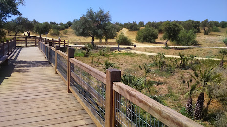
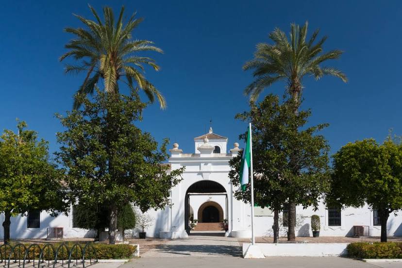
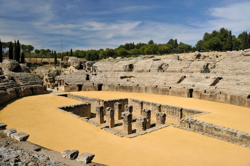
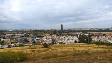
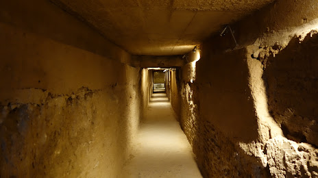
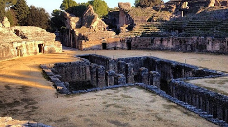
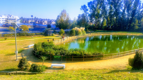
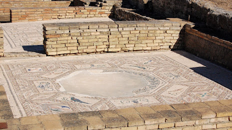
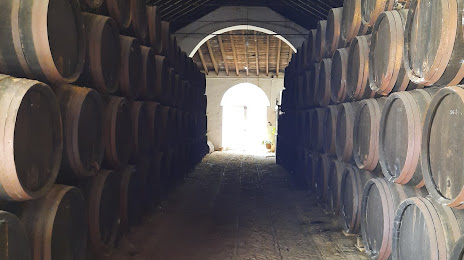
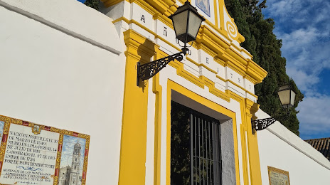
Attractions


Distance to the capital
Distance to the capital (Madrid) is about — 394 km.