
 Lardero
Casas de Haro
Alagón
Sada
Cenlle
Boiro
La Llosa de Ranes
Villarta
Alborge
Pedrola
Marlofa
Llagostera
Tomares
El Fresno
Perlunes
Tudela de Duero
Torrelles de Llobregat
Vilanova de Segrià
La Seu d'Urgell
Lardero
Casas de Haro
Alagón
Sada
Cenlle
Boiro
La Llosa de Ranes
Villarta
Alborge
Pedrola
Marlofa
Llagostera
Tomares
El Fresno
Perlunes
Tudela de Duero
Torrelles de Llobregat
Vilanova de Segrià
La Seu d'Urgell
Lugones on the map, Spain
Where is located Lugones
Exact location — Lugones, Asturias, Asturias, Spain, marked on the map with a red marker.
Coordinates
Lugones, Spain coordinates in decimal format: latitude — 43.402659, longitude — -5.810913. When converted to degrees, minutes, seconds Lugones has the following coordinates: 43°24′9.57 north latitude and -5°48′39.29 east longitude.
Population
Lugones, Asturias, Asturias, Spain, according to our data the population is — 14,000 residents, which is about 0% of the total population of the country (Spain).
Comparison of the population on the graph:
Exact time
Time zone for this location Lugones — UTC +2 Europe/Madrid. Exact time — monday, 4 april 2024 year, 15 h. 42 minutes.
Sunrise and sunset
Lugones, sunrise and sunset data for a date — monday 29.04.2024.
| Sunrise | Sunset | Day (duration) |
|---|---|---|
| 07:21 -1 minute | 21:19 +1 minute | 14 h. 0 minutes. +2 minutes |
You can control the scale of the map using the auxiliary tools to find out exactly where it is located Lugones. When you change the scale of the map, the width of the ruler also changes (in kilometers and miles).
Nearby cities
The largest cities that are located nearby:
- Oviedo — 5 km
- Gijón — 19 km
- León — 91 km
- Santander — 161 km
- Ourense — 205 km
- Burgos — 209 km
- A Coruña — 209 km
- Valladolid — 213 km
- Bilbao — 232 km
- Vitoria-Gasteiz — 261 km
- Salamanca — 269 km
- Vigo — 271 km
- Logroño — 294 km
- Braga
 (Portugal) — 298 km
 - San Sebastián — 308 km
- Porto (Portugal) — 342 km
- Pamplona — 344 km
- Alcobendas — 366 km
- Alcorcón — 377 km
Distance to neighboring capitals:
- Lisbon (Portugal) — 591 km
- Andorra la Vella
 (Andorra) — 605 km
 - Paris
 (France) — 873 km
 - Paris (France) — 873 km
- Rabat
 (Morocco) — 1053 km
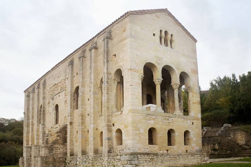
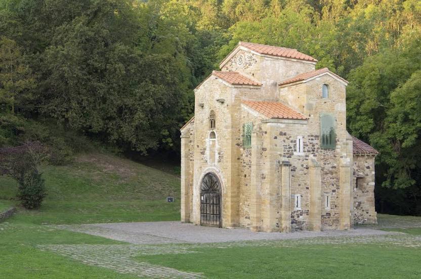
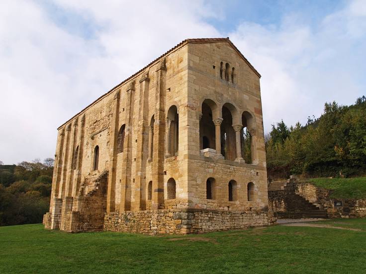
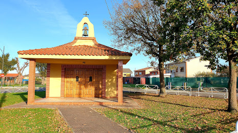
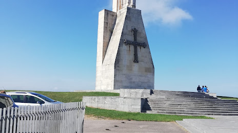
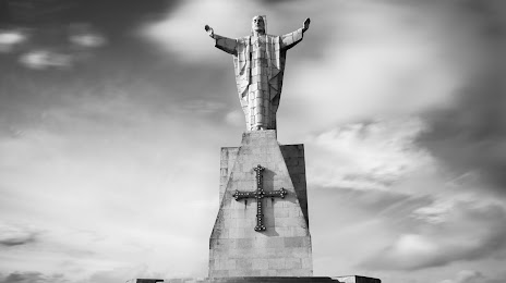
Attractions

Distance to the capital
Distance to the capital (Madrid) is about — 375 km.