
 Alovera
La Granadella
Chirivel
Berbinzana
Nogarejas
Medina de Rioseco
Cádiar
Villarrubia de los Ojos
Navas de Oro
Pinseque
Pozuelo de Tábara
Don Álvaro
Navalmoral de la Mata
Lugones
Porto
Cómpeta
La Bañeza
Trapiche
La Llacuna
Alovera
La Granadella
Chirivel
Berbinzana
Nogarejas
Medina de Rioseco
Cádiar
Villarrubia de los Ojos
Navas de Oro
Pinseque
Pozuelo de Tábara
Don Álvaro
Navalmoral de la Mata
Lugones
Porto
Cómpeta
La Bañeza
Trapiche
La Llacuna
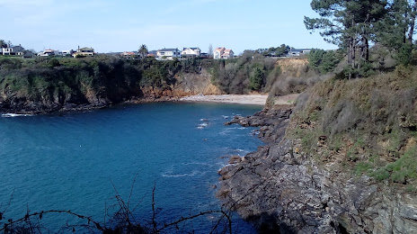
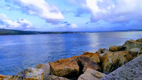
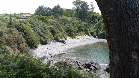
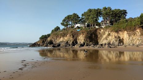
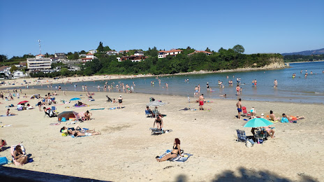
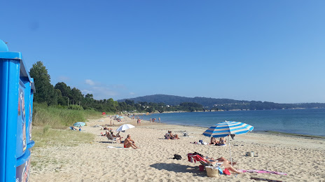
Sada on the map, Spain
Where is located Sada
Exact location — Sada, A Coruña, Galicia, Spain, marked on the map with a red marker.
Coordinates
Sada, Spain coordinates in decimal format: latitude — 43.3555238, longitude — -8.2557376. When converted to degrees, minutes, seconds Sada has the following coordinates: 43°21′19.89 north latitude and -8°15′20.66 east longitude.
Population
Sada, A Coruña, Galicia, Spain, according to our data the population is — 11,573 residents, which is about 0% of the total population of the country (Spain).
Comparison of the population on the graph:
Exact time
Time zone for this location Sada — UTC +2 Europe/Madrid. Exact time — thursday, 5 may 2024 year, 09 h. 48 minutes.
Sunrise and sunset
Sada, sunrise and sunset data for a date — thursday 2.05.2024.
| Sunrise | Sunset | Day (duration) |
|---|---|---|
| 07:27 -1 minute | 21:32 +1 minute | 14 h. 6 minutes. +2 minutes |
You can control the scale of the map using the auxiliary tools to find out exactly where it is located Sada. When you change the scale of the map, the width of the ruler also changes (in kilometers and miles).
Nearby cities
The largest cities that are located nearby:
- A Coruña — 13 km
- Ourense — 117 km
- Vigo — 129 km
- Oviedo — 193 km
- Braga
 (Portugal) — 201 km
 - Gijón — 209 km
- León — 234 km
- Porto (Portugal) — 245 km
- Salamanca — 341 km
- Valladolid — 347 km
- Coimbra (Portugal) — 349 km
- Santander — 357 km
- Burgos — 389 km
- Bilbao — 429 km
- Vitoria-Gasteiz — 455 km
- Logroño — 484 km
- Alcobendas — 498 km
- Móstoles — 499 km
- Alcorcón — 500 km
Distance to neighboring capitals:
- Lisbon (Portugal) — 521 km
- Andorra la Vella
 (Andorra) — 801 km
 - Paris
 (France) — 1020 km
 - Paris (France) — 1020 km
- Rabat
 (Morocco) — 1051 km
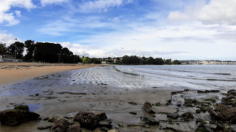
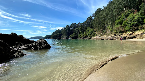
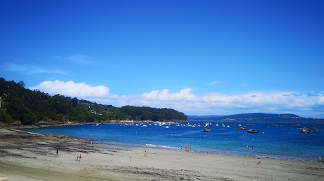
Attractions


Distance to the capital
Distance to the capital (Madrid) is about — 499 km.