
 Iznájar
Alcublas
Aigües
La Llacuna
Trapiche
La Bañeza
Cómpeta
Porto
Lugones
Sudanell
Vilanova D`Alcolea
Ares
Villalar de los Comuneros
Sorbas
La Huelga
Bédar
Rute
Cabezarrubias del Puerto
Las Ventas de Retamosa
Iznájar
Alcublas
Aigües
La Llacuna
Trapiche
La Bañeza
Cómpeta
Porto
Lugones
Sudanell
Vilanova D`Alcolea
Ares
Villalar de los Comuneros
Sorbas
La Huelga
Bédar
Rute
Cabezarrubias del Puerto
Las Ventas de Retamosa
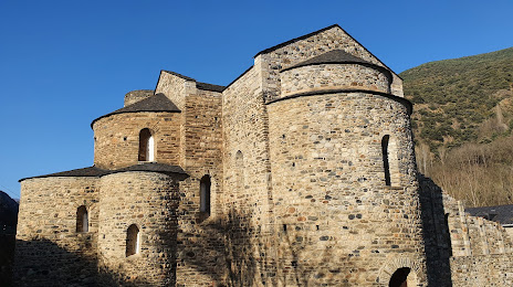
La Seu d'Urgell on the map, Spain
Where is located La Seu d'Urgell
Exact location — La Seu d'Urgell, Lleida, Catalunya, Spain, marked on the map with a red marker.
Coordinates
La Seu d'Urgell, Spain coordinates in decimal format: latitude — 42.3575784, longitude — 1.4555525. When converted to degrees, minutes, seconds La Seu d'Urgell has the following coordinates: 42°21′27.28 north latitude and 1°27′19.99 east longitude.
Population
La Seu d'Urgell, Lleida, Catalunya, Spain, according to our data the population is — 13,063 residents, which is about 0% of the total population of the country (Spain).
Comparison of the population on the graph:
Exact time
Time zone for this location La Seu d'Urgell — UTC +2 Europe/Madrid. Exact time — monday, 5 may 2024 year, 11 h. 50 minutes.
Sunrise and sunset
La Seu d'Urgell, sunrise and sunset data for a date — monday 13.05.2024.
| Sunrise | Sunset | Day (duration) |
|---|---|---|
| 06:37 -1 minute | 21:03 +1 minute | 14 h. 24 minutes. +2 minutes |
You can control the scale of the map using the auxiliary tools to find out exactly where it is located La Seu d'Urgell. When you change the scale of the map, the width of the ruler also changes (in kilometers and miles).
Nearby cities
The largest cities that are located nearby:
- Terrassa — 99 km
- Sabadell — 105 km
- Lleida — 107 km
- Santa Coloma de Gramenet — 119 km
- Badalona — 120 km
- Mataró — 122 km
- Perpignan
 (France) — 123 km
 - L'Hospitalet de Llobregat — 123 km
- Toulouse (France) — 138 km
- Tarragona — 138 km
- Zaragoza — 209 km
- Montpellier (France) — 238 km
- Pamplona — 257 km
- Nimes (France) — 284 km
- San Sebastián — 296 km
- Bordeaux (France) — 317 km
- Logroño — 318 km
- Palma — 325 km
- Marseille (France) — 332 km
Distance to neighboring capitals:
- Andorra la Vella
 (Andorra) — 17 km
 - Paris (France) — 726 km
- Paris (France) — 726 km
- Lisbon
 (Portugal) — 982 km
 - Rabat
 (Morocco) — 1181 km
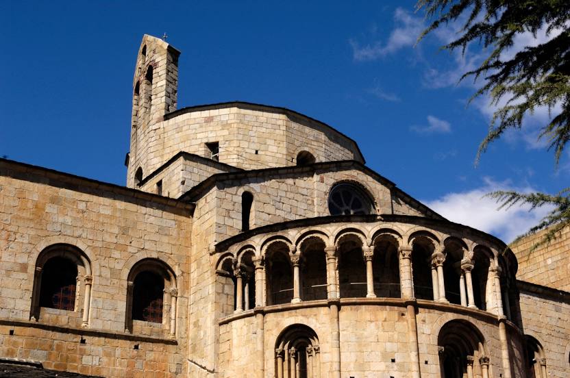
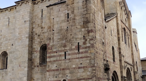
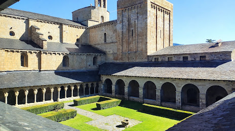
Attractions
Distance to the capital
Distance to the capital (Madrid) is about — 482 km.