
 Don Álvaro
Pozuelo de Tábara
Pinseque
Santisteban del Puerto
Guardiola de Berguedà
Albelda de Iregua
Berriozar
Alfaro
Corella
Morata de Tajuña
Aldea del Fresno
Manzanares
La Puebla de Alfindén
Torralbilla
Falset
Fene
Esponellà
La Oliva
Ribadavia
Don Álvaro
Pozuelo de Tábara
Pinseque
Santisteban del Puerto
Guardiola de Berguedà
Albelda de Iregua
Berriozar
Alfaro
Corella
Morata de Tajuña
Aldea del Fresno
Manzanares
La Puebla de Alfindén
Torralbilla
Falset
Fene
Esponellà
La Oliva
Ribadavia
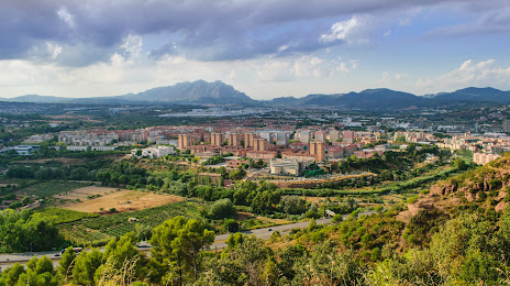
Pallejà on the map, Spain
Where is located Pallejà
Exact location — Pallejà, Barcelona, Catalunya, Spain, marked on the map with a red marker.
Coordinates
Pallejà, Spain coordinates in decimal format: latitude — 41.4213871, longitude — 1.9972813. When converted to degrees, minutes, seconds Pallejà has the following coordinates: 41°25′16.99 north latitude and 1°59′50.21 east longitude.
Population
Pallejà, Barcelona, Catalunya, Spain, according to our data the population is — 11,134 residents, which is about 0% of the total population of the country (Spain).
Comparison of the population on the graph:
Exact time
Time zone for this location Pallejà — UTC +2 Europe/Madrid. Exact time — sunday, 5 may 2024 year, 07 h. 32 minutes.
Sunrise and sunset
Pallejà, sunrise and sunset data for a date — sunday 12.05.2024.
| Sunrise | Sunset | Day (duration) |
|---|---|---|
| 06:38 -1 minute | 20:57 +1 minute | 14 h. 18 minutes. +2 minutes |
You can control the scale of the map using the auxiliary tools to find out exactly where it is located Pallejà. When you change the scale of the map, the width of the ruler also changes (in kilometers and miles).
Nearby cities
The largest cities that are located nearby:
- L'Hospitalet de Llobregat — 12 km
- Terrassa — 16 km
- Sabadell — 17 km
- Santa Coloma de Gramenet — 18 km
- Badalona — 21 km
- Mataró — 39 km
- Tarragona — 71 km
- Lleida — 116 km
- Perpignan
 (France) — 158 km
 - Palma — 212 km
- Zaragoza — 240 km
- Toulouse (France) — 245 km
- Montpellier (France) — 285 km
- Valencia — 296 km
- Nimes (France) — 327 km
- Pamplona — 333 km
- Marseille (France) — 342 km
- Aix-en-Provence (France) — 362 km
- Toulon (France) — 369 km
Distance to neighboring capitals:
- Andorra la Vella
 (Andorra) — 127 km
 - Paris (France) — 827 km
- Paris (France) — 827 km
- Lisbon
 (Portugal) — 993 km
 - Rabat
 (Morocco) — 1136 km
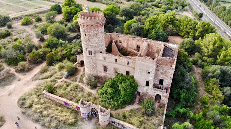
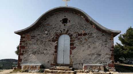
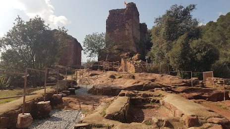
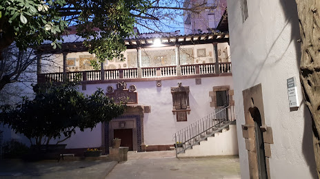
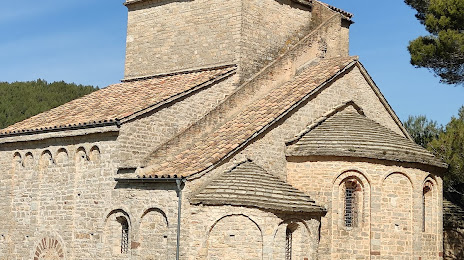
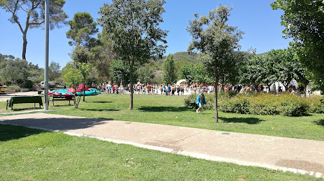
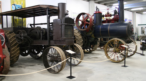
Attractions

Distance to the capital
Distance to the capital (Madrid) is about — 492 km.