Camarenilla — Fuentespalda
Camarenilla — Valdeganga
Camarenilla — Villayón
Camarenilla — Palencia
Camarenilla — Puerto Lope
Camarenilla — Agolada
Camarenilla — La Gila
Camarenilla — Fuenteheridos
Camarenilla — Linares
Camarenilla — Torrelodones
Camarenilla — La Robla
Camarenilla — Okango
Camarenilla — Puebla de Arenoso
Camarenilla — Aldeamayor de San Martín
Camarenilla — La Murada
Camarenilla — Soria
Camarenilla — Base Aérea de Los Llanos
Camarenilla — Aracena
Camarenilla — Hoyos del Espino
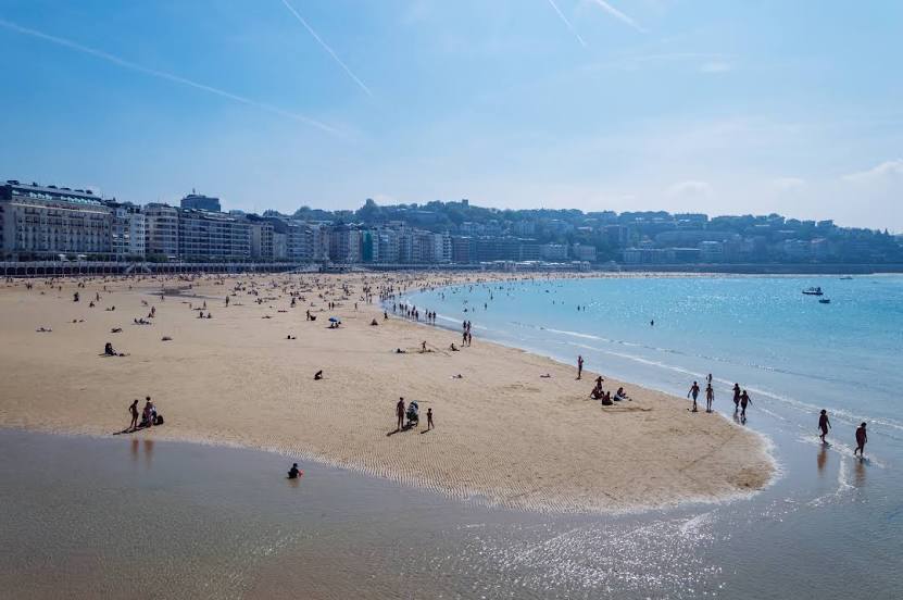
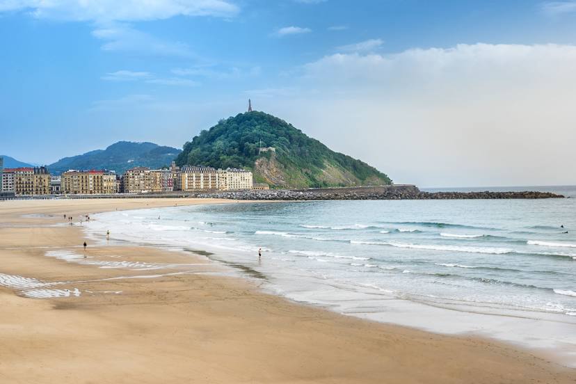
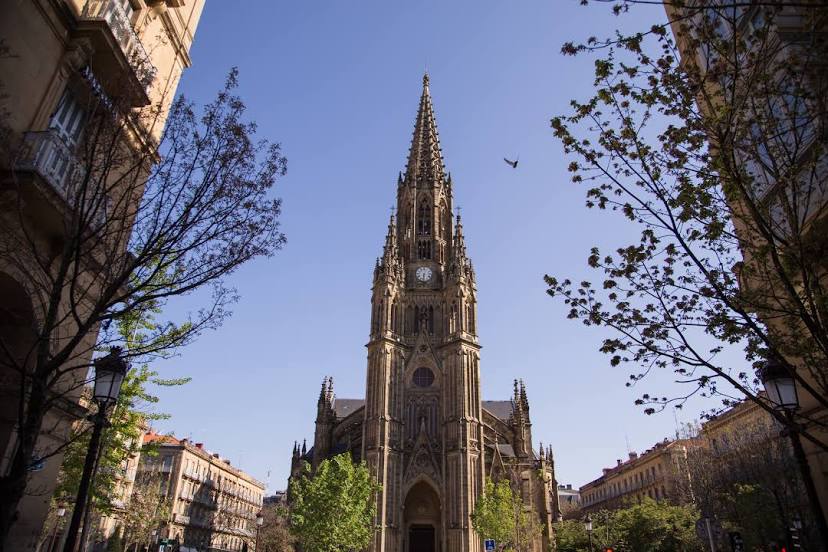
Camarenilla — San Sebastián distance, route on the map
Distance by car
Distance between Camarenilla, Castilla-La Mancha, Spain and San Sebastián, Basque Country, Spain by car is — km, or miles. To travel this distance by car, you need minute, or h.
Route on the map, driving directions
Car route Camarenilla — San Sebastián was created automatically. The road on the map is shown as a blue line. By moving the markers, you can create a new route through the points you need.
Distance by plane
If you decide to take a trip Camarenilla San Sebastián by plane, then you have to fly the distance — 406 km or 252 miles. It is marked on the map with a gray line (between two points in a straight line).
Flight time
Estimated flight time Camarenilla San Sebastián by plane at cruising speed 750 km / h will be — 32 min.
Direction of movement
Spain, Camarenilla — right-hand traffic. Spain, San Sebastián — right-hand traffic.
Difference in time
Camarenilla and San Sebastián are in the same time zone. Between them there is no time difference (UTC +2 Europe/Madrid).
Interesting Facts
Information on alternative ways to get to your destination.
The length of this distance is about 1.0% of the total length of the equator.
The percentage of the population is clearly shown in the graph:
Camarenilla — 512 (less by 184,845), San Sebastián — 185,357 residents.
The cost of travel
Calculate the cost of the trip yourself using the fuel consumption calculator, changing the data in the table.