
 Polanco
Chumillas
Sanchón de la Sagrada
Estepa
Dosbarrios
La Carlota
Valmojado
Noja
Cabañas de la Sagra
Alagón
Casas de Haro
Lardero
Funes
Corella
Alfaro
Berriozar
Albelda de Iregua
Guardiola de Berguedà
Santisteban del Puerto
Polanco
Chumillas
Sanchón de la Sagrada
Estepa
Dosbarrios
La Carlota
Valmojado
Noja
Cabañas de la Sagra
Alagón
Casas de Haro
Lardero
Funes
Corella
Alfaro
Berriozar
Albelda de Iregua
Guardiola de Berguedà
Santisteban del Puerto
Santurtzi on the map, Spain
Where is located Santurtzi
Exact location — Santurtzi, Bizkaia, Euskadi, Spain, marked on the map with a red marker.
Coordinates
Santurtzi, Spain coordinates in decimal format: latitude — 43.328128, longitude — -3.0336586. When converted to degrees, minutes, seconds Santurtzi has the following coordinates: 43°19′41.26 north latitude and -3°2′1.17 east longitude.
Population
Santurtzi, Bizkaia, Euskadi, Spain, according to our data the population is — 46,978 residents, which is about 0.1% of the total population of the country (Spain).
Comparison of the population on the graph:
Exact time
Time zone for this location Santurtzi — UTC +2 Europe/Madrid. Exact time — sunday, 5 may 2024 year, 05 h. 49 minutes.
Sunrise and sunset
Santurtzi, sunrise and sunset data for a date — sunday 12.05.2024.
| Sunrise | Sunset | Day (duration) |
|---|---|---|
| 06:54 -1 minute | 21:22 +1 minute | 14 h. 30 minutes. +2 minutes |
You can control the scale of the map using the auxiliary tools to find out exactly where it is located Santurtzi. When you change the scale of the map, the width of the ruler also changes (in kilometers and miles).
Nearby cities
The largest cities that are located nearby:
- Bilbao — 11 km
- Vitoria-Gasteiz — 59 km
- Santander — 64 km
- San Sebastián — 85 km
- Logroño — 107 km
- Burgos — 122 km
- Pamplona — 126 km
- Gijón — 212 km
- León — 221 km
- Oviedo — 226 km
- Valladolid — 232 km
- Bordeaux
 (France) — 255 km
 - Zaragoza — 257 km
- Alcobendas — 313 km
- Alcala de Henares — 316 km
- Torrejón de Ardoz — 320 km
- Alcorcón — 336 km
- Leganés — 337 km
- Getafe — 339 km
Distance to neighboring capitals:
- Andorra la Vella
 (Andorra) — 382 km
 - Lisbon
 (Portugal) — 724 km
 - Paris (France) — 742 km
- Paris (France) — 742 km
- Rabat
 (Morocco) — 1092 km
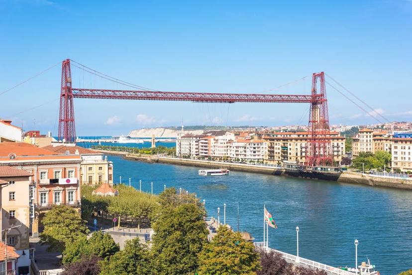
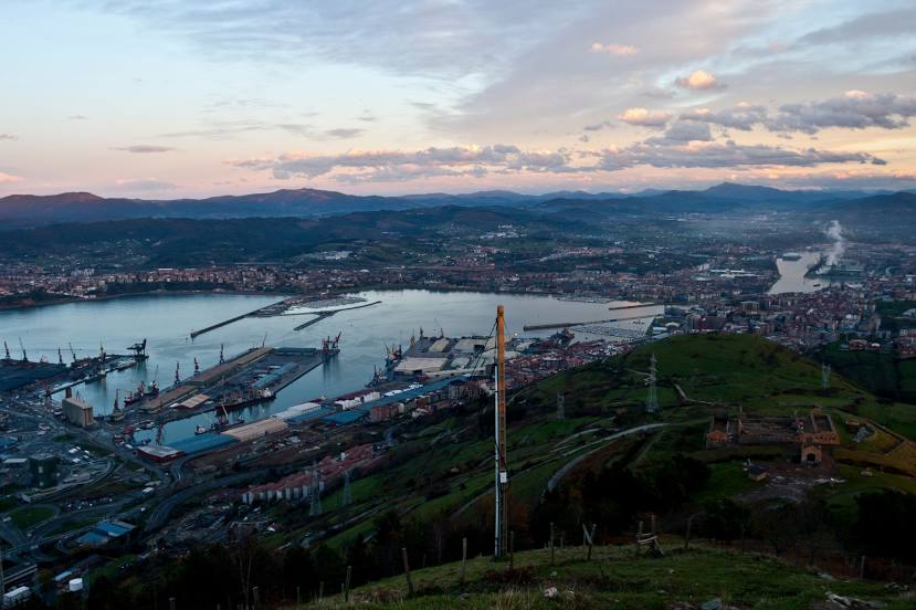
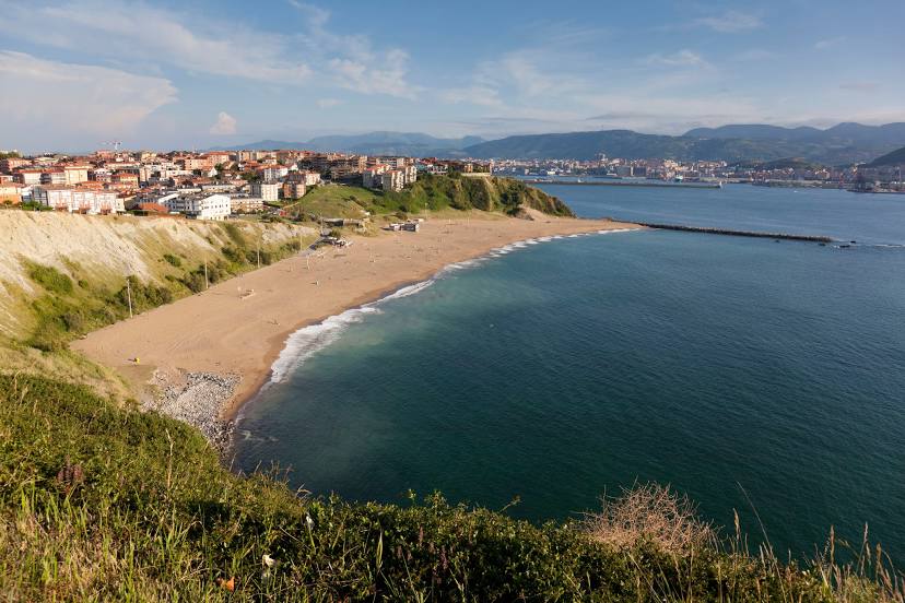
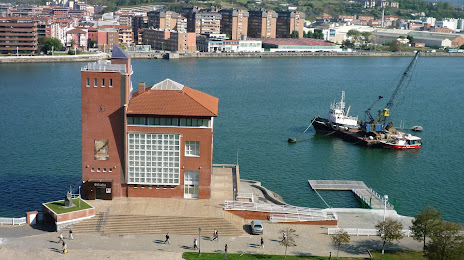
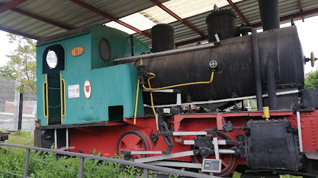
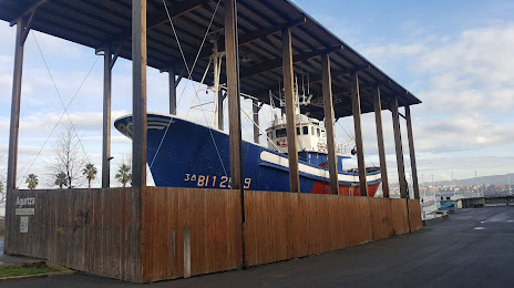
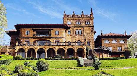
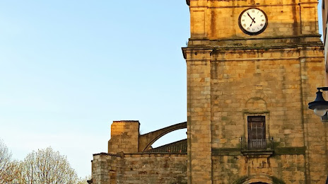
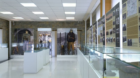
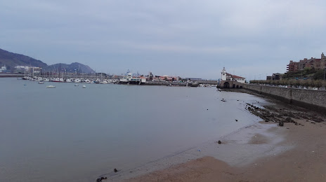
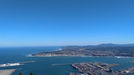
Attractions


Distance to the capital
Distance to the capital (Madrid) is about — 329 km.