
 Riaza
La Carolina
Usagre
Sanlúcar de Barrameda
Vallarta de Bureba
Peramola
Becerril de la Sierra
Trubia
Pozo de Guadalajara
Chirivel
La Granadella
Alovera
Deba
Santurtzi
Vilanova de Prades
Viana de Cega
Begues
Hueto Abajo
Alborge
Riaza
La Carolina
Usagre
Sanlúcar de Barrameda
Vallarta de Bureba
Peramola
Becerril de la Sierra
Trubia
Pozo de Guadalajara
Chirivel
La Granadella
Alovera
Deba
Santurtzi
Vilanova de Prades
Viana de Cega
Begues
Hueto Abajo
Alborge
Estepa on the map, Spain
Where is located Estepa
Exact location — Estepa, Sevilla, Andalucía, Spain, marked on the map with a red marker.
Coordinates
Estepa, Spain coordinates in decimal format: latitude — 37.2917592, longitude — -4.8792939. When converted to degrees, minutes, seconds Estepa has the following coordinates: 37°17′30.33 north latitude and -4°52′45.46 east longitude.
Population
Estepa, Sevilla, Andalucía, Spain, according to our data the population is — 12,194 residents, which is about 0% of the total population of the country (Spain).
Comparison of the population on the graph:
Exact time
Time zone for this location Estepa — UTC +2 Europe/Madrid. Exact time — thursday, 5 may 2024 year, 21 h. 02 minutes.
Sunrise and sunset
Estepa, sunrise and sunset data for a date — thursday 9.05.2024.
| Sunrise | Sunset | Day (duration) |
|---|---|---|
| 07:18 -1 minute | 21:13 +1 minute | 13 h. 54 minutes. +2 minutes |
You can control the scale of the map using the auxiliary tools to find out exactly where it is located Estepa. When you change the scale of the map, the width of the ruler also changes (in kilometers and miles).
Nearby cities
The largest cities that are located nearby:
- Córdoba — 67 km
- Málaga — 75 km
- Marbella — 86 km
- Dos Hermanas — 92 km
- Jaén — 110 km
- Granada — 114 km
- Jerez — 129 km
- Algeciras — 137 km
- Cádiz — 151 km
- Huelva — 182 km
- Tangier
 (Morocco) — 190 km
 - Tetouan (Morocco) — 196 km
- Almería — 220 km
- Badajoz — 251 km
- Nador (Morocco) — 293 km
- Taounate (Morocco) — 305 km
- Albacete — 321 km
- Murcia — 336 km
- Cartagena — 342 km
Distance to neighboring capitals:
- Lisbon
 (Portugal) — 406 km
 - Rabat (Morocco) — 410 km
- Andorra la Vella
 (Andorra) — 796 km
 - Paris
 (France) — 1413 km
 - Paris (France) — 1413 km
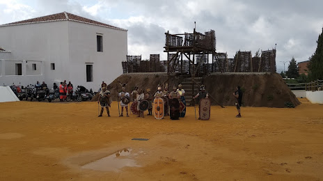
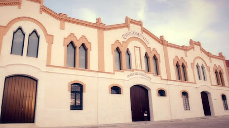
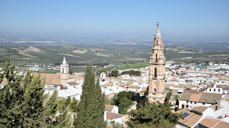
Attractions
Distance to the capital
Distance to the capital (Madrid) is about — 362 km.