
 Boecillo
Torreblanca
Villablino
Casa Blanca
Sella
Colmenar del Arroyo
Benicolet
Sariñena
Busquístar
Hozabejas
Cartaya
Ejulve
Puerto del Rosario
Cotillo
Mojácar
Benavent
Maracena
Las Mesas
Estrada
Boecillo
Torreblanca
Villablino
Casa Blanca
Sella
Colmenar del Arroyo
Benicolet
Sariñena
Busquístar
Hozabejas
Cartaya
Ejulve
Puerto del Rosario
Cotillo
Mojácar
Benavent
Maracena
Las Mesas
Estrada
La Pobla de Vallbona on the map, Spain
Where is located La Pobla de Vallbona
Exact location — La Pobla de Vallbona, Valencia, Valencian Community, Spain, marked on the map with a red marker.
Coordinates
La Pobla de Vallbona, Spain coordinates in decimal format: latitude — 39.5962965, longitude — -0.5517843. When converted to degrees, minutes, seconds La Pobla de Vallbona has the following coordinates: 39°35′46.67 north latitude and -0°33′6.42 east longitude.
Population
La Pobla de Vallbona, Valencia, Valencian Community, Spain, according to our data the population is — 20,431 residents, which is about 0% of the total population of the country (Spain).
Comparison of the population on the graph:
Exact time
Time zone for this location La Pobla de Vallbona — UTC +2 Europe/Madrid. Exact time — friday, 5 may 2024 year, 08 h. 41 minute.
Sunrise and sunset
La Pobla de Vallbona, sunrise and sunset data for a date — friday 10.05.2024.
| Sunrise | Sunset | Day (duration) |
|---|---|---|
| 06:55 -1 minute | 21:01 +1 minute | 14 h. 6 minutes. +2 minutes |
You can control the scale of the map using the auxiliary tools to find out exactly where it is located La Pobla de Vallbona. When you change the scale of the map, the width of the ruler also changes (in kilometers and miles).
Nearby cities
The largest cities that are located nearby:
- Valencia — 20 km
- Albacete — 131 km
- Murcia — 184 km
- Cartagena — 221 km
- Tarragona — 225 km
- Zaragoza — 229 km
- Lleida — 244 km
- Alcala de Henares — 256 km
- Torrejón de Ardoz — 264 km
- Palma — 273 km
- Alcobendas — 279 km
- Getafe — 279 km
- Leganés — 283 km
- Fuenlabrada — 285 km
- Alcorcón — 288 km
- Móstoles — 291 km
- L'Hospitalet de Llobregat — 295 km
- Terrassa — 304 km
- Santa Coloma de Gramenet — 307 km
Distance to neighboring capitals:
- Andorra la Vella
 (Andorra) — 367 km
 - Lisbon
 (Portugal) — 747 km
 - Rabat
 (Morocco) — 840 km
 - Paris
 (France) — 1055 km
 - Paris (France) — 1055 km
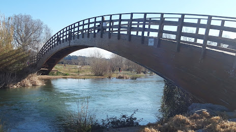
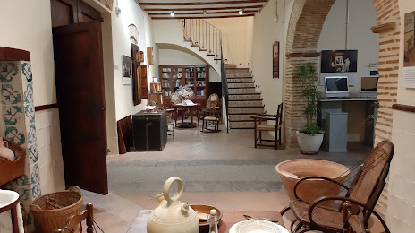
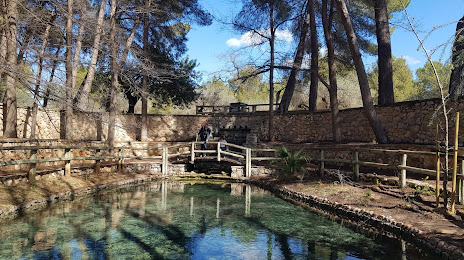
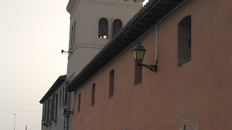
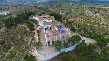
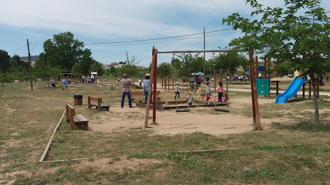
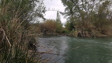
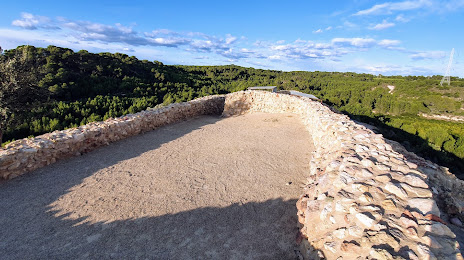
Attractions
Distance to the capital
Distance to the capital (Madrid) is about — 284 km.