
 Agurain
Castejón de Monegros
Gaucín
Rinlo
Renedo de la Vega
El Franco
Fortuna
El Pueyo de Araguás
Pineda de Mar
Arjona
Castilblanco
Corçà
Pals
Talamanca de Jarama
Poleñino
Ablitas
Arévalo
Ajofrín
Sonseca
Agurain
Castejón de Monegros
Gaucín
Rinlo
Renedo de la Vega
El Franco
Fortuna
El Pueyo de Araguás
Pineda de Mar
Arjona
Castilblanco
Corçà
Pals
Talamanca de Jarama
Poleñino
Ablitas
Arévalo
Ajofrín
Sonseca
Rojales on the map, Spain
Where is located Rojales
Exact location — Rojales, Alicante, Comunidad Valenciana, Spain, marked on the map with a red marker.
Coordinates
Rojales, Spain coordinates in decimal format: latitude — 38.0860483, longitude — -0.7235857. When converted to degrees, minutes, seconds Rojales has the following coordinates: 38°5′9.77 north latitude and -0°43′24.91 east longitude.
Population
Rojales, Alicante, Comunidad Valenciana, Spain, according to our data the population is — 12,755 residents, which is about 0% of the total population of the country (Spain).
Comparison of the population on the graph:
Exact time
Time zone for this location Rojales — UTC +2 Europe/Madrid. Exact time — thursday, 5 may 2024 year, 07 h. 32 minutes.
Sunrise and sunset
Rojales, sunrise and sunset data for a date — thursday 9.05.2024.
| Sunrise | Sunset | Day (duration) |
|---|---|---|
| 07:00 -1 minute | 20:58 +1 minute | 14 h. 0 minutes. +2 minutes |
You can control the scale of the map using the auxiliary tools to find out exactly where it is located Rojales. When you change the scale of the map, the width of the ruler also changes (in kilometers and miles).
Nearby cities
The largest cities that are located nearby:
- Murcia — 37 km
- Cartagena — 56 km
- Albacete — 140 km
- Valencia — 156 km
- Almería — 207 km
- Oran
 (Algeria) — 264 km
 - Jaén — 270 km
- Granada — 272 km
- Chlef (Algeria) — 281 km
- Relizane (Algeria) — 284 km
- Sidi Bel Abbes (Algeria) — 319 km
- Palma — 331 km
- Alcala de Henares — 346 km
- Torrejón de Ardoz — 350 km
- Getafe — 353 km
- Córdoba — 355 km
- Fuenlabrada — 356 km
- Leganés — 357 km
- Tlemcen (Algeria) — 358 km
Distance to neighboring capitals:
- Andorra la Vella
 (Andorra) — 527 km
 - Rabat
 (Morocco) — 716 km
 - Lisbon
 (Portugal) — 737 km
 - Paris
 (France) — 1223 km
 - Paris (France) — 1223 km
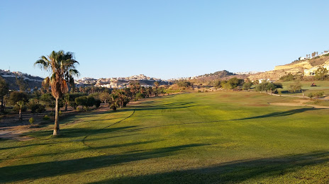
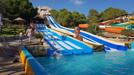
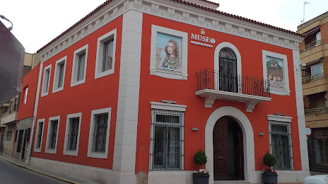
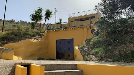
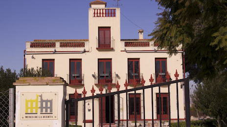
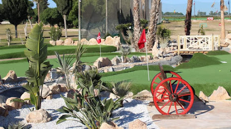
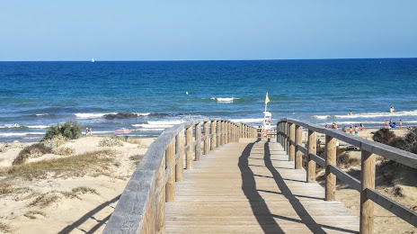
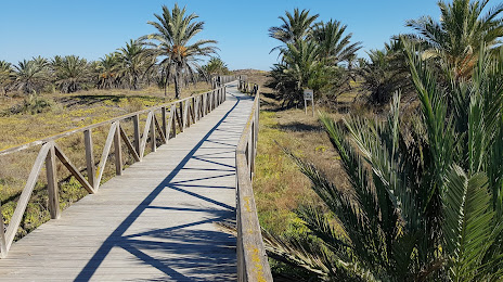
Attractions

Distance to the capital
Distance to the capital (Madrid) is about — 365 km.