
 Jaraíz de la Vera
Santa Eulalia de Oscos
L'Armentera
La Pobla de Montornès
Foixà
Guía de Isora
Aliaga
Celanova
Sils
Villar de Plasencia
Villanueva de la Sierra
Jaraicejo
Padul
Petra
Sant Pere Pescador
Mojados
Castellví de Rosanes
Linares
Rojales
Jaraíz de la Vera
Santa Eulalia de Oscos
L'Armentera
La Pobla de Montornès
Foixà
Guía de Isora
Aliaga
Celanova
Sils
Villar de Plasencia
Villanueva de la Sierra
Jaraicejo
Padul
Petra
Sant Pere Pescador
Mojados
Castellví de Rosanes
Linares
Rojales
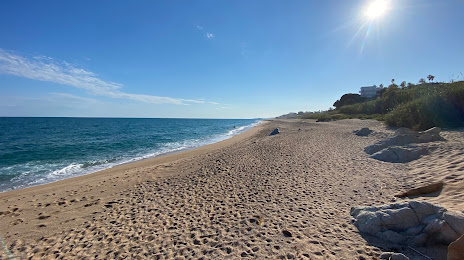
Pineda de Mar on the map, Spain
Where is located Pineda de Mar
Exact location — Pineda de Mar, Barcelona, Catalunya, Spain, marked on the map with a red marker.
Coordinates
Pineda de Mar, Spain coordinates in decimal format: latitude — 41.6245101, longitude — 2.6827579. When converted to degrees, minutes, seconds Pineda de Mar has the following coordinates: 41°37′28.24 north latitude and 2°40′57.93 east longitude.
Population
Pineda de Mar, Barcelona, Catalunya, Spain, according to our data the population is — 26,203 residents, which is about 0.1% of the total population of the country (Spain).
Comparison of the population on the graph:
Exact time
Time zone for this location Pineda de Mar — UTC +2 Europe/Madrid. Exact time — saturday, 5 may 2024 year, 09 h. 25 minutes.
Sunrise and sunset
Pineda de Mar, sunrise and sunset data for a date — saturday 11.05.2024.
| Sunrise | Sunset | Day (duration) |
|---|---|---|
| 06:36 -1 minute | 20:54 +1 minute | 14 h. 18 minutes. +2 minutes |
You can control the scale of the map using the auxiliary tools to find out exactly where it is located Pineda de Mar. When you change the scale of the map, the width of the ruler also changes (in kilometers and miles).
Nearby cities
The largest cities that are located nearby:
- Mataró — 22 km
- Badalona — 41 km
- Santa Coloma de Gramenet — 44 km
- Sabadell — 48 km
- L'Hospitalet de Llobregat — 55 km
- Terrassa — 56 km
- Perpignan
 (France) — 119 km
 - Tarragona — 132 km
- Lleida — 171 km
- Palma — 227 km
- Montpellier (France) — 240 km
- Toulouse (France) — 240 km
- Nimes (France) — 279 km
- Marseille (France) — 284 km
- Zaragoza — 295 km
- Aix-en-Provence (France) — 306 km
- Toulon (France) — 310 km
- Valencia — 353 km
- Pamplona — 375 km
Distance to neighboring capitals:
- Andorra la Vella
 (Andorra) — 137 km
 - Paris (France) — 805 km
- Paris (France) — 805 km
- Lisbon
 (Portugal) — 1054 km
 - Rabat
 (Morocco) — 1193 km
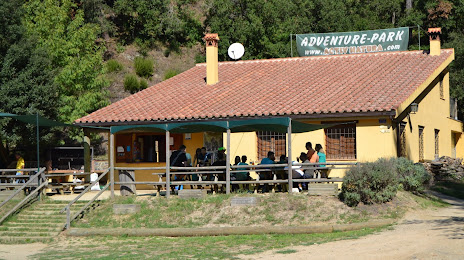
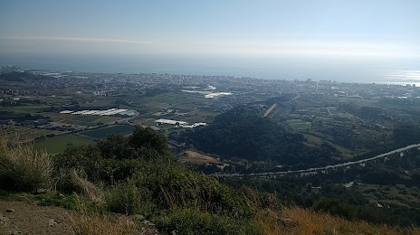
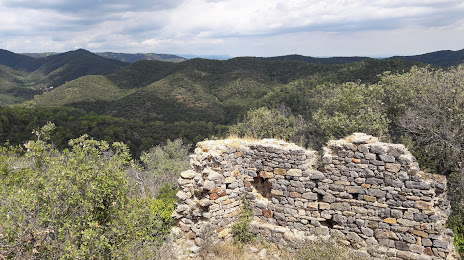
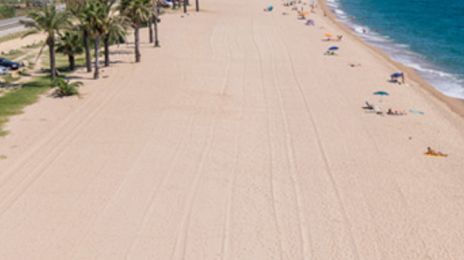
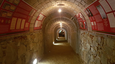
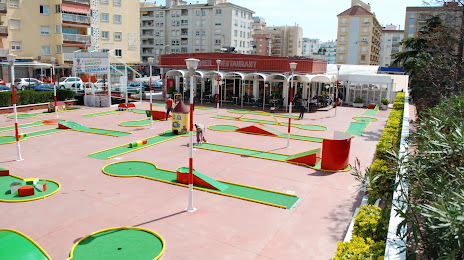
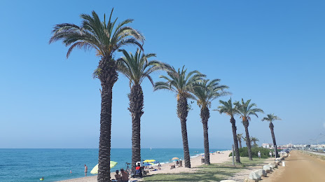
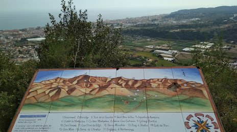
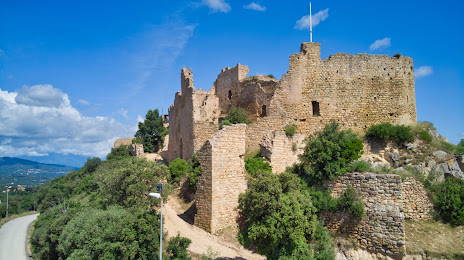
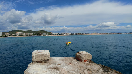
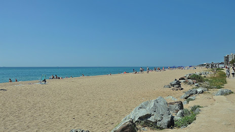
Attractions


Distance to the capital
Distance to the capital (Madrid) is about — 552 km.