
 Gualchos
Lanjarón
Mondéjar
La Pobla Tornesa
Nuevo Baztán
Revenga de Campos
Tejadilla
Grisaleña
Torrelameu
Alberite
Porrera
Oliana
Puigcerdà
Sant Sadurní de l'Heura
Cervera
Trespaderne
Sils
Celanova
Aliaga
Gualchos
Lanjarón
Mondéjar
La Pobla Tornesa
Nuevo Baztán
Revenga de Campos
Tejadilla
Grisaleña
Torrelameu
Alberite
Porrera
Oliana
Puigcerdà
Sant Sadurní de l'Heura
Cervera
Trespaderne
Sils
Celanova
Aliaga
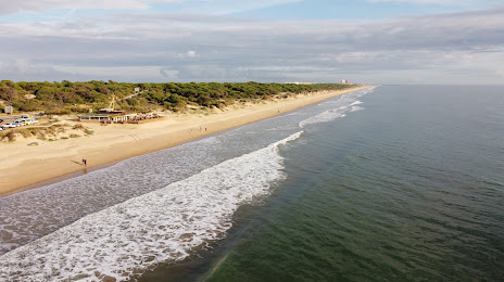
Punta Umbría on the map, Spain
Where is located Punta Umbría
Exact location — Punta Umbría, Huelva, Andalucía, Spain, marked on the map with a red marker.
Coordinates
Punta Umbría, Spain coordinates in decimal format: latitude — 37.1852585, longitude — -6.9704976. When converted to degrees, minutes, seconds Punta Umbría has the following coordinates: 37°11′6.93 north latitude and -6°58′13.79 east longitude.
Population
Punta Umbría, Huelva, Andalucía, Spain, according to our data the population is — 12,578 residents, which is about 0% of the total population of the country (Spain).
Comparison of the population on the graph:
Exact time
Time zone for this location Punta Umbría — UTC +2 Europe/Madrid. Exact time — wednesday, 5 may 2024 year, 18 h. 55 minutes.
Sunrise and sunset
Punta Umbría, sunrise and sunset data for a date — wednesday 8.05.2024.
| Sunrise | Sunset | Day (duration) |
|---|---|---|
| 07:28 -1 minute | 21:20 +1 minute | 13 h. 54 minutes. +2 minutes |
You can control the scale of the map using the auxiliary tools to find out exactly where it is located Punta Umbría. When you change the scale of the map, the width of the ruler also changes (in kilometers and miles).
Nearby cities
The largest cities that are located nearby:
- Huelva — 9 km
- Dos Hermanas — 93 km
- Jerez — 93 km
- Cádiz — 95 km
- Algeciras — 178 km
- Badajoz — 187 km
- Tangier
 (Morocco) — 188 km
 - Marbella — 200 km
- Córdoba — 206 km
- Málaga — 228 km
- Tetouan (Morocco) — 230 km
- Lisbon
 (Portugal) — 253 km
 - Amadora (Portugal) — 261 km
- Queluz (Portugal) — 263 km
- Jaén — 286 km
- Granada — 297 km
- Kenitra (Morocco) — 326 km
- Sale (Morocco) — 349 km
- Coimbra (Portugal) — 355 km
Distance to neighboring capitals:
- Lisbon (Portugal) — 256 km
- Rabat (Morocco) — 358 km
- Andorra la Vella
 (Andorra) — 935 km
 - Paris
 (France) — 1501 km
 - Paris (France) — 1501 km
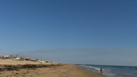
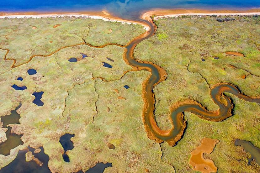
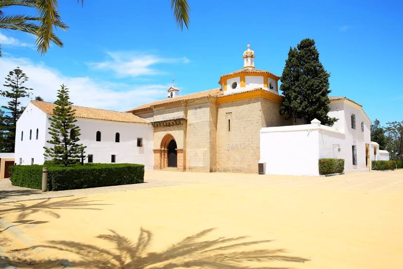
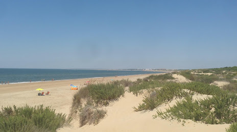
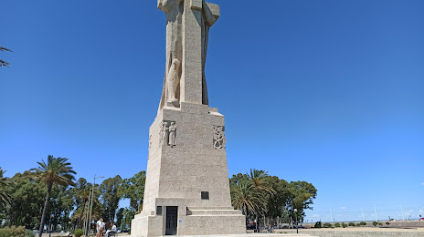
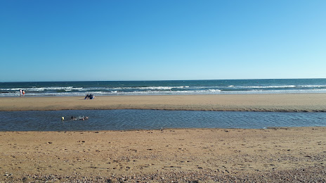
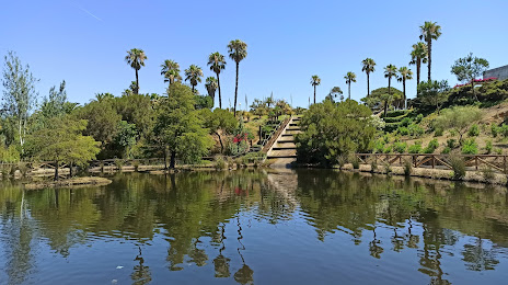
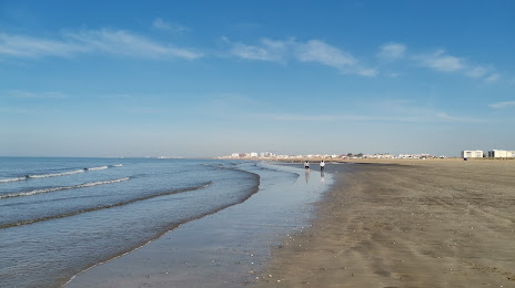
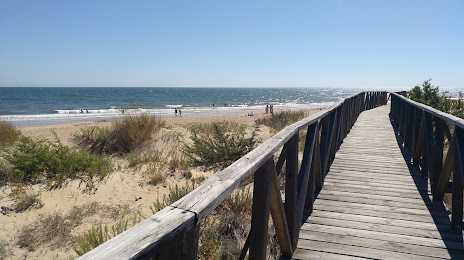
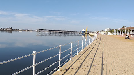
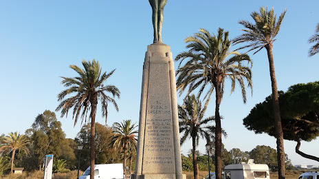
Attractions


Distance to the capital
Distance to the capital (Madrid) is about — 457 km.