
 Nuevo Baztán
Revenga de Campos
Tejadilla
Grisaleña
Torrelameu
Mudrián
Gavilanes
Torreperogil
Fondarella
Alborache
Gualba
Haro
Tauste
Alberite
Porrera
Oliana
Puigcerdà
Sant Sadurní de l'Heura
Cervera
Nuevo Baztán
Revenga de Campos
Tejadilla
Grisaleña
Torrelameu
Mudrián
Gavilanes
Torreperogil
Fondarella
Alborache
Gualba
Haro
Tauste
Alberite
Porrera
Oliana
Puigcerdà
Sant Sadurní de l'Heura
Cervera
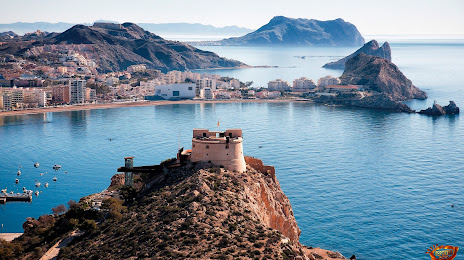
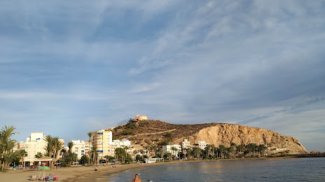
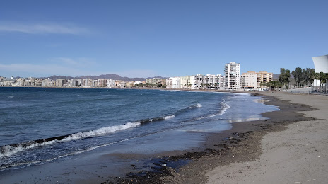
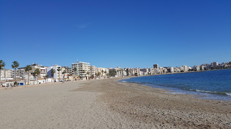
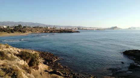
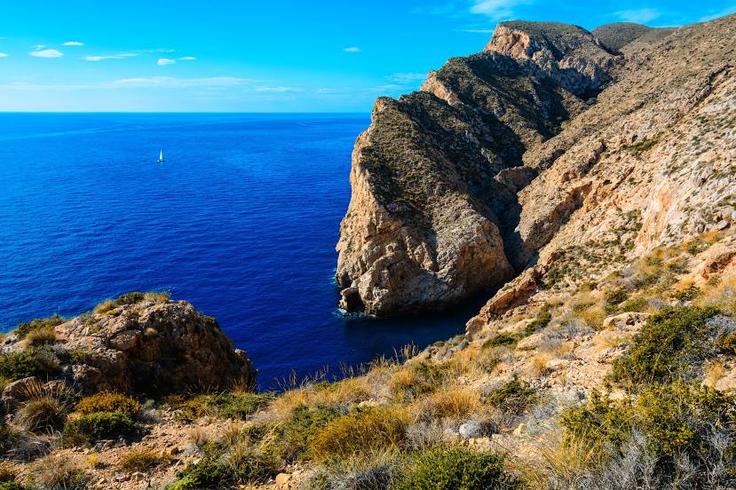
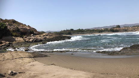
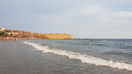
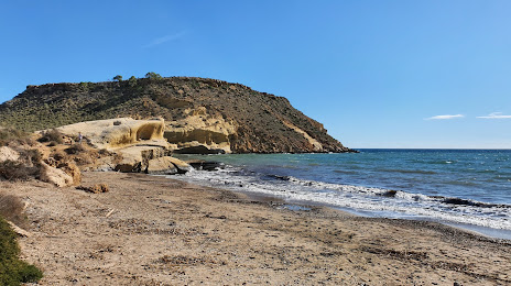
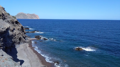
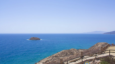
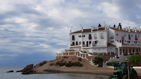
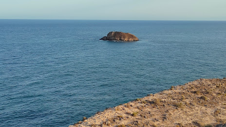
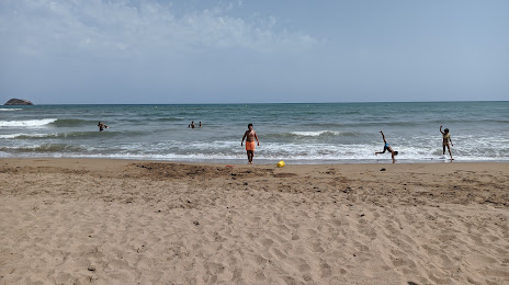
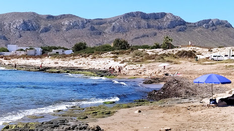
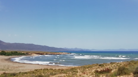
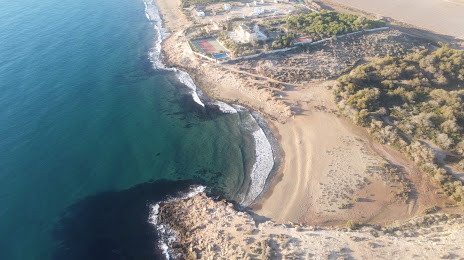
Águilas on the map, Spain
Where is located Águilas
Exact location — Águilas, Murcia, Región de Murcia, Spain, marked on the map with a red marker.
Coordinates
Águilas, Spain coordinates in decimal format: latitude — 37.4117554, longitude — -1.5827678. When converted to degrees, minutes, seconds Águilas has the following coordinates: 37°24′42.32 north latitude and -1°34′57.96 east longitude.
Population
Águilas, Murcia, Región de Murcia, Spain, according to our data the population is — 30,739 residents, which is about 0.1% of the total population of the country (Spain).
Comparison of the population on the graph:
Exact time
Time zone for this location Águilas — UTC +2 Europe/Madrid. Exact time — wednesday, 5 may 2024 year, 11 h. 16 minutes.
Sunrise and sunset
Águilas, sunrise and sunset data for a date — wednesday 8.05.2024.
| Sunrise | Sunset | Day (duration) |
|---|---|---|
| 07:06 -1 minute | 20:59 +1 minute | 13 h. 54 minutes. +2 minutes |
You can control the scale of the map using the auxiliary tools to find out exactly where it is located Águilas. When you change the scale of the map, the width of the ruler also changes (in kilometers and miles).
Nearby cities
The largest cities that are located nearby:
- Cartagena — 57 km
- Murcia — 75 km
- Almería — 101 km
- Albacete — 177 km
- Granada — 179 km
- Jaén — 197 km
- Oran
 (Algeria) — 208 km
 - Valencia — 250 km
- Sidi Bel Abbes (Algeria) — 259 km
- Málaga — 263 km
- Relizane (Algeria) — 267 km
- Nador
 (Morocco) — 277 km
 - Tlemcen (Algeria) — 281 km
- Córdoba — 284 km
- Chlef (Algeria) — 294 km
- Oujda (Morocco) — 303 km
- Marbella — 310 km
- Saida (Algeria) — 325 km
- Getafe — 368 km
Distance to neighboring capitals:
- Rabat (Morocco) — 610 km
- Andorra la Vella
 (Andorra) — 625 km
 - Lisbon
 (Portugal) — 677 km
 - Paris
 (France) — 1312 km
 - Paris (France) — 1312 km
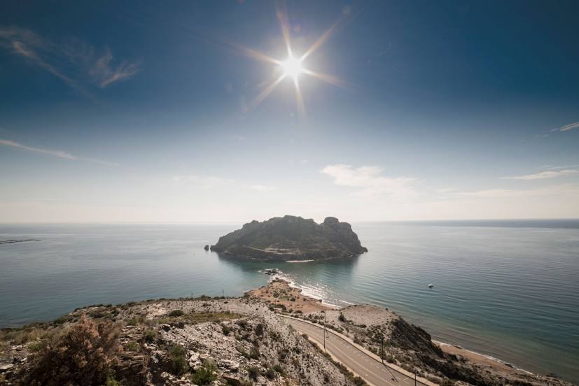
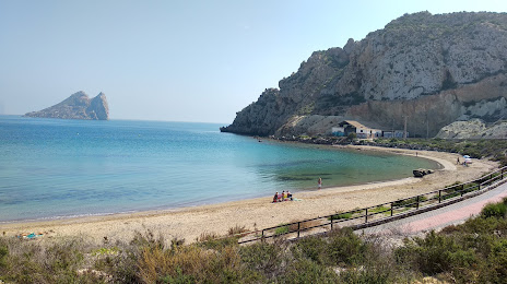
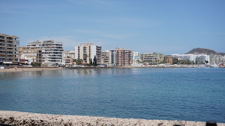
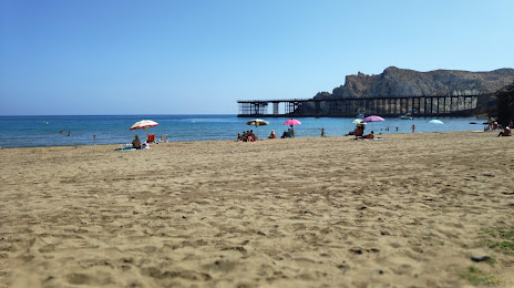
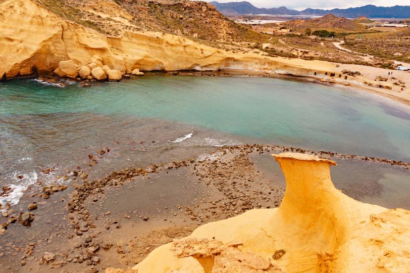
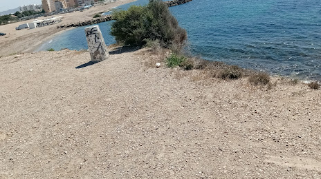
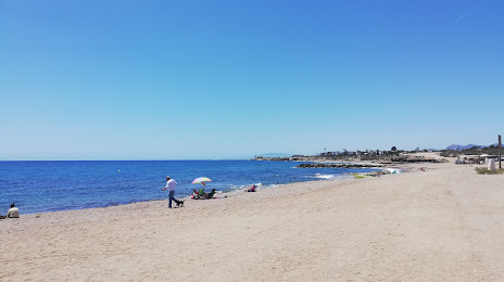
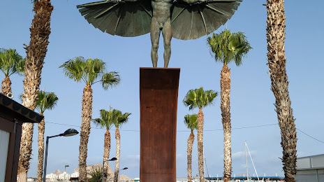
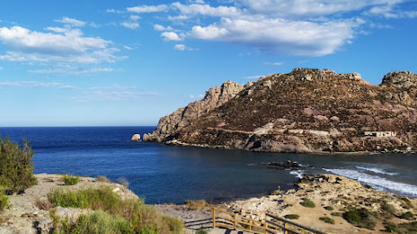
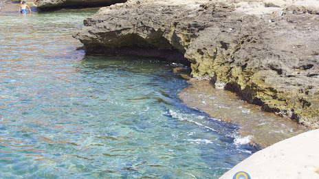
Attractions

Distance to the capital
Distance to the capital (Madrid) is about — 381 km.