Manzanillo — Atoyac
Manzanillo — Santiago Tuxtla
Manzanillo — Pihuamo
Manzanillo — Tingambato
Manzanillo — Apodaca
Manzanillo — Bahía de los Ángeles
Manzanillo — Holy Cross
Manzanillo — Santa Ana Maya
Manzanillo — Copala
Manzanillo — San José Manialtepec
Manzanillo — Armería Municipality
Manzanillo — Pichucalco
Manzanillo — Jojutla
Manzanillo — Fortín de las Flores
Manzanillo — Tihuatlán
Manzanillo — Helipuerto Dos Bocas, Paraiso, Tabasco
Manzanillo — Culiacán Rosales
Manzanillo — Nuevo Urecho
Manzanillo — Xonacatlán
Barra de Navidad
St Patrick
Tenacatita
Costa Careyes
The Fortune
Tomatlán
El Tule
El Tuito
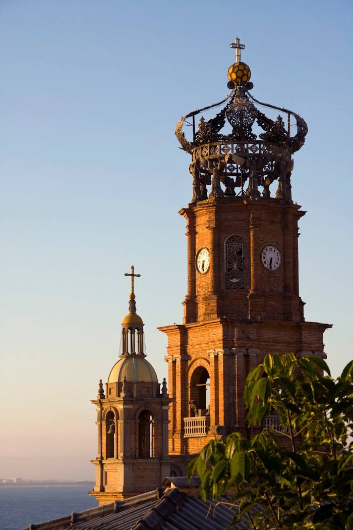
Puerto Vallarta
Manzanillo — Atoyac
Manzanillo — Santiago Tuxtla
Manzanillo — Pihuamo
Manzanillo — Tingambato
Manzanillo — Apodaca
Manzanillo — Bahía de los Ángeles
Manzanillo — Holy Cross
Manzanillo — Santa Ana Maya
Manzanillo — Copala
Manzanillo — San José Manialtepec
Manzanillo — Armería Municipality
Manzanillo — Pichucalco
Manzanillo — Jojutla
Manzanillo — Fortín de las Flores
Manzanillo — Tihuatlán
Manzanillo — Helipuerto Dos Bocas, Paraiso, Tabasco
Manzanillo — Culiacán Rosales
Manzanillo — Nuevo Urecho
Manzanillo — Xonacatlán
Barra de Navidad
St Patrick
Tenacatita
Costa Careyes
The Fortune
Tomatlán
El Tule
El Tuito
Puerto Vallarta
Manzanillo — Puerto Vallarta distance, route on the map
Distance by car
Distance between Manzanillo, Colima, Mexico and Puerto Vallarta, Jalisco, Mexico by car is — km, or miles. To travel this distance by car, you need minute, or h.
Route on the map, driving directions
Car route Manzanillo — Puerto Vallarta was created automatically. The road on the map is shown as a blue line. By moving the markers, you can create a new route through the points you need.
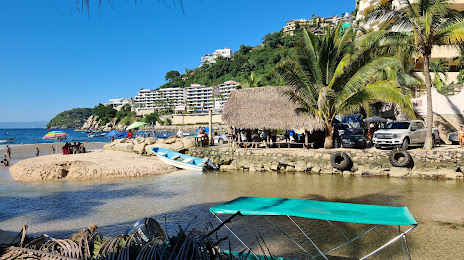
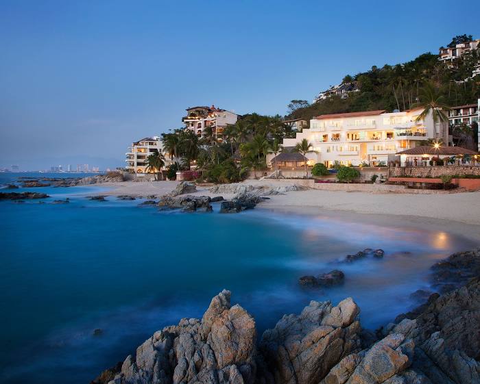
Passing cities through which the car route passes: Cihuatlán, Barra de Navidad, St Patrick, Tenacatita, Costa Careyes, The Fortune, Tomatlán, El Tule, El Tuito, Puerto Vallarta.
Distance by plane
If you decide to take a trip Manzanillo Puerto Vallarta by plane, then you have to fly the distance — 195 km or 121 miles. It is marked on the map with a gray line (between two points in a straight line).
Flight time
Estimated flight time Manzanillo Puerto Vallarta by plane at cruising speed 750 km / h will be — 15 min.
Direction of movement
Mexico, Manzanillo — right-hand traffic. Mexico, Puerto Vallarta — right-hand traffic.
Difference in time
Manzanillo and Puerto Vallarta are in the same time zone. Between them there is no time difference (UTC -6 America/Mexico_City).
Interesting Facts
Information on alternative ways to get to your destination.
The length of this distance is about 0.5% of the total length of the equator.
The percentage of the population is clearly shown in the graph:
Manzanillo — 110,738 (less by 76,405), Puerto Vallarta — 187,143 residents.
The cost of travel
Calculate the cost of the trip yourself using the fuel consumption calculator, changing the data in the table.