Camargo — Trincheras
Camargo — Sabinas Hidalgo
Camargo — General Cepeda Municipality
Camargo — Tlaxcoapan
Camargo — Cuchilla
Camargo — Nuevo Progreso
Camargo — Delta
Camargo — Ucú
Camargo — Barra de Potosí
Camargo — Totolapan
Camargo — San Francisco de Paula
Camargo — Coyotepec
Camargo — Cuitzeo
Camargo — Ahome
Camargo — Asunción Ixtaltepec
Camargo — Mexico City
Camargo — Tapachula de Cordova y Ordoñez
Camargo — Tapilula
Camargo — Special Development Galleries
Step
Bermejillo
Estación Noé
Transport
Gómez Palacio
The flower
Hormiguero
La Partida
La Esperanza
Matamoros
El Sol
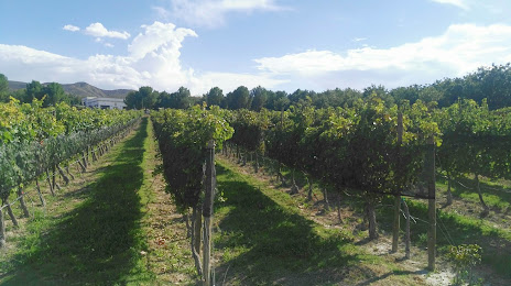
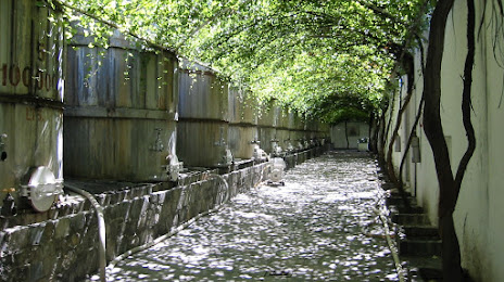
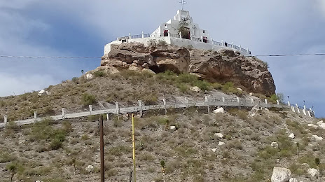
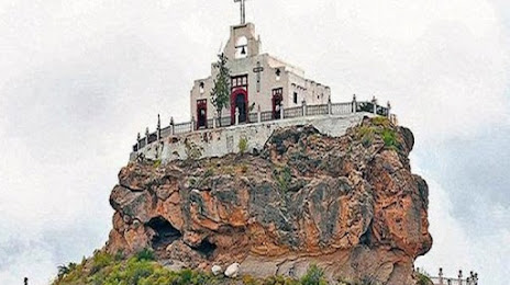
Camargo — Parras de la Fuente distance, route on the map
Distance by car
Distance between Camargo, Chihuahua, Mexico and Parras de la Fuente, Coahuila, Mexico by car is — km, or miles. To travel this distance by car, you need minute, or h.
Route on the map, driving directions
Car route Camargo — Parras de la Fuente was created automatically. The road on the map is shown as a blue line. By moving the markers, you can create a new route through the points you need.
Passing cities through which the car route passes: Ciudad Jiménez, Step, Bermejillo, Estación Noé, Transport, Gómez Palacio, The flower, Hormiguero, La Partida, La Esperanza, Matamoros, El Sol.
Distance by plane
If you decide to take a trip Camargo Parras de la Fuente by plane, then you have to fly the distance — 387 km or 240 miles. It is marked on the map with a gray line (between two points in a straight line).
Flight time
Estimated flight time Camargo Parras de la Fuente by plane at cruising speed 750 km / h will be — 30 min.
Direction of movement
Mexico, Camargo — right-hand traffic. Mexico, Parras de la Fuente — right-hand traffic.
Difference in time
Camargo and Parras de la Fuente are in different time zones. The time difference is 1 hour (UTC -7 America/Mazatlan, UTC -6 America/Mexico_City).
Interesting Facts
Information on alternative ways to get to your destination.
The length of this distance is about 1.0% of the total length of the equator.
The percentage of the population is clearly shown in the graph:
Camargo — 37,745, Parras de la Fuente — 32,253 residents (less by 5,492).
The cost of travel
Calculate the cost of the trip yourself using the fuel consumption calculator, changing the data in the table.