Ciudad Ayala — Chalco de Díaz Covarrubias
Ciudad Ayala — Temozón
Ciudad Ayala — Pimientillo
Ciudad Ayala — San Bartolo
Ciudad Ayala — Erongarícuaro
Ciudad Ayala — Ures
Ciudad Ayala — Ixtapaluca
Ciudad Ayala — Yucatan Peninsula
Ciudad Ayala — Tarímbaro
Ciudad Ayala — San Carlos Nuevo Guaymas
Ciudad Ayala — Texcalyacac
Ciudad Ayala — Dolores Hidalgo
Ciudad Ayala — Molango
Ciudad Ayala — Río Blanco
Ciudad Ayala — Emilio Portes Gil
Ciudad Ayala — Chavinda
Ciudad Ayala — Alberto Oviedo Mota
Ciudad Ayala — Cadereyta Jiménez
Ciudad Ayala — Hormiguero
Huexca
Xalostoc
Amayuca
Jantetelco
Temoac
Tochimilco
Atlixco
Atlixco
Chipilo
Tlaxcalancingo
Puebla City
Real del Monte
San Pablo del Monte
Zacatelco
Teolocholco
Chiautempan
Apetatitlán
Santa Cruz Tlaxcala
Yauhquemecan
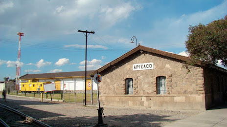
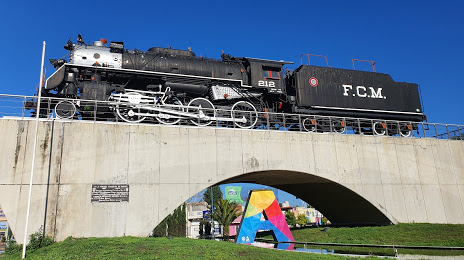
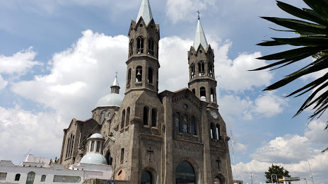
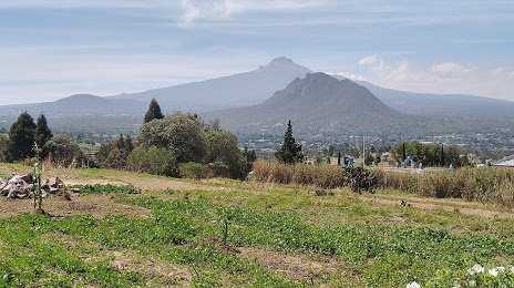
Ciudad Ayala — Apizaco distance, route on the map
Distance by car
Distance between Ciudad Ayala, Morelos, Mexico and Apizaco, Tlaxcala, Mexico by car is — km, or miles. To travel this distance by car, you need minute, or h.
Route on the map, driving directions
Car route Ciudad Ayala — Apizaco was created automatically. The road on the map is shown as a blue line. By moving the markers, you can create a new route through the points you need.
Passing cities through which the car route passes: Cuautla, Huexca, Xalostoc, Amayuca, Jantetelco, Temoac, Tochimilco, Atlixco, Atlixco, Chipilo, Tlaxcalancingo, Puebla City, Real del Monte, San Pablo del Monte, Zacatelco, Teolocholco, Chiautempan, Apetatitlán, Santa Cruz Tlaxcala, Yauhquemecan.
Distance by plane
If you decide to take a trip Ciudad Ayala Apizaco by plane, then you have to fly the distance — 115 km or 71 miles. It is marked on the map with a gray line (between two points in a straight line).
Flight time
Estimated flight time Ciudad Ayala Apizaco by plane at cruising speed 750 km / h will be — 9 min.
Direction of movement
Mexico, Ciudad Ayala — right-hand traffic. Mexico, Apizaco — right-hand traffic.
Difference in time
Ciudad Ayala and Apizaco are in the same time zone. Between them there is no time difference (UTC -6 America/Mexico_City).
Interesting Facts
Information on alternative ways to get to your destination.
The length of this distance is about 0.3% of the total length of the equator.
The percentage of the population is clearly shown in the graph:
Ciudad Ayala — 6,777 (less by 39,684), Apizaco — 46,461 residents.
The cost of travel
Calculate the cost of the trip yourself using the fuel consumption calculator, changing the data in the table.