Itapema — São Francisco de Paula
Itapema — Mar de Espanha
Itapema — Abadiânia
Itapema — Val de Cans International Airport
Itapema — Dona Francisca
Itapema — Tabira
Itapema — Itaigara
Itapema — Bandeirante
Itapema — Água Santa
Itapema — Anastácio
Itapema — Louveira
Itapema — Brasília
Itapema — Mata
Itapema — Mococa
Itapema — Jales
Itapema — Macuco
Itapema — Maringá
Itapema — Guaratuba
Itapema — Santa Clara
Meia Praia
Tijucas
Governador Celso Ramos
Biguaçu
São José
Palhoça
Guarda do Embaú
Paulo Lopes
Itapema — Garopaba distance, route on the map
Distance by car
Distance between Itapema, Santa Catarina, Brazil and Garopaba, Santa Catarina, Brazil by car is — km, or miles. To travel this distance by car, you need minute, or h.
Route on the map, driving directions
Car route Itapema — Garopaba was created automatically. The road on the map is shown as a blue line. By moving the markers, you can create a new route through the points you need.
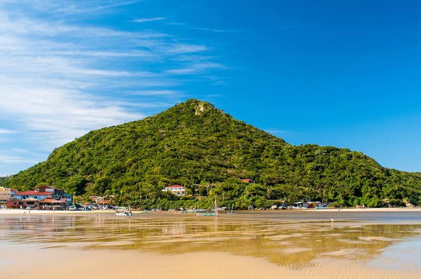
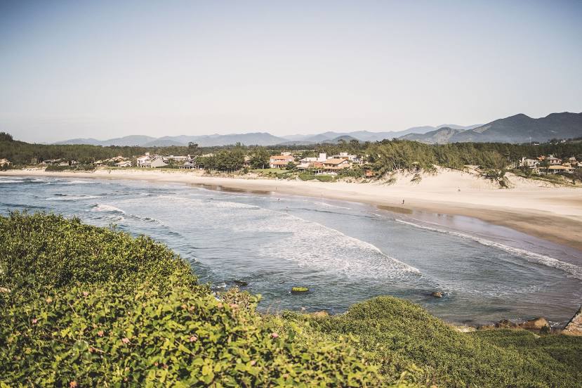
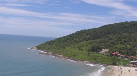
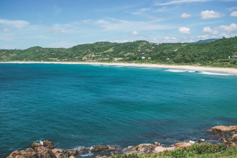
Passing cities through which the car route passes: Itapema, Meia Praia, Tijucas, Governador Celso Ramos, Biguaçu, São José, Palhoça, Guarda do Embaú, Paulo Lopes.
Distance by plane
If you decide to take a trip Itapema Garopaba by plane, then you have to fly the distance — 104 km or 64 miles. It is marked on the map with a gray line (between two points in a straight line).
Flight time
Estimated flight time Itapema Garopaba by plane at cruising speed 750 km / h will be — 8 min.
Direction of movement
Brazil, Itapema — right-hand traffic. Brazil, Garopaba — right-hand traffic.
Difference in time
Itapema and Garopaba are in the same time zone. Between them there is no time difference (UTC -3 America/Sao_Paulo).
Interesting Facts
Information on alternative ways to get to your destination.
The length of this distance is about 0.3% of the total length of the equator.
The percentage of the population is clearly shown in the graph:
Itapema — 36,766, Garopaba — 11,718 residents (less by 25,048).
The cost of travel
Calculate the cost of the trip yourself using the fuel consumption calculator, changing the data in the table.