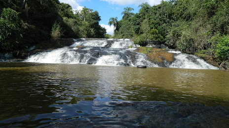
Laurentino — Itapissuma
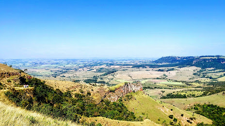
Laurentino — Sobreiro
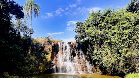
Laurentino — Sertaneja
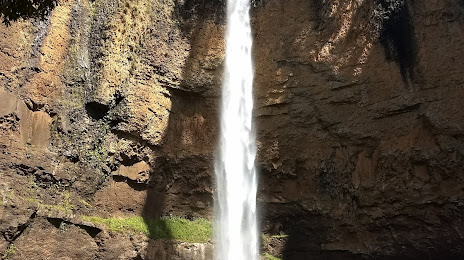
Laurentino — Campo Largo
Laurentino — Urandi
Laurentino — Monte Castelo
Laurentino — Leme
Laurentino — Carlópolis
Laurentino — Águas Mornas
Laurentino — Santa Cruz da Conceição
Laurentino — Ribeira do Pombal
Laurentino — Mariana
Laurentino — Portão
Laurentino — Guaramiranga
Laurentino — Inhapi
Laurentino — Campos Novos
Laurentino — Santa Maria da Serra
Laurentino — Pirajuí
Laurentino — Tapera
Lontras
Ibirama
Ascurra
Rodeio
Timbó
Rio dos Cedros
Pomerode
Jaraguá do Sul
São Bento do Sul
Agudos do Sul
Mandirituba
Fazenda Rio Grande
Curitiba
Curitiba
Curitiba Airport
Curitiba
Colombo
Bocaiúva do Sul
Apiaí
Itapetininga
Itapetininga
Alambari
Cerquilho
Tietê
Tietê
Saltinho
Piracicaba
Iracemápolis
Santa Gertrudes
Rio Claro
São Paulo
Laurentino — Itapissuma
Laurentino — Sobreiro
Laurentino — Sertaneja
Laurentino — Campo Largo
Laurentino — Urandi
Laurentino — Monte Castelo
Laurentino — Leme
Laurentino — Carlópolis
Laurentino — Águas Mornas
Laurentino — Santa Cruz da Conceição
Laurentino — Ribeira do Pombal
Laurentino — Mariana
Laurentino — Portão
Laurentino — Guaramiranga
Laurentino — Inhapi
Laurentino — Campos Novos
Laurentino — Santa Maria da Serra
Laurentino — Pirajuí
Laurentino — Tapera
Lontras
Ibirama
Ascurra
Rodeio
Timbó
Rio dos Cedros
Pomerode
Jaraguá do Sul
São Bento do Sul
Agudos do Sul
Mandirituba
Fazenda Rio Grande
Curitiba
Curitiba
Curitiba Airport
Curitiba
Colombo
Bocaiúva do Sul
Apiaí
Itapetininga
Itapetininga
Alambari
Cerquilho
Tietê
Tietê
Saltinho
Piracicaba
Iracemápolis
Santa Gertrudes
Rio Claro
São Paulo
Laurentino — Itirapina distance, route on the map
Distance by car
Distance between Laurentino, Santa Catarina, Brazil and Itirapina, São Paulo, Brazil by car is — km, or miles. To travel this distance by car, you need minute, or h.
Route on the map, driving directions
Car route Laurentino — Itirapina was created automatically. The road on the map is shown as a blue line. By moving the markers, you can create a new route through the points you need.
Passing cities through which the car route passes: Rio do Sul, Lontras, Ibirama, Ascurra, Rodeio, Timbó, Rio dos Cedros, Pomerode, Jaraguá do Sul, São Bento do Sul, Agudos do Sul, Mandirituba, Fazenda Rio Grande, Curitiba, Curitiba, Curitiba Airport, Curitiba, Colombo, Bocaiúva do Sul, Apiaí, Itapetininga, Itapetininga, Alambari, Cerquilho, Tietê, Tietê, Saltinho, Piracicaba, Iracemápolis, Santa Gertrudes, Rio Claro, São Paulo.
Distance by plane
If you decide to take a trip Laurentino Itirapina by plane, then you have to fly the distance — 585 km or 363 miles. It is marked on the map with a gray line (between two points in a straight line).
Flight time
Estimated flight time Laurentino Itirapina by plane at cruising speed 750 km / h will be — 46 min.
Direction of movement
Brazil, Laurentino — right-hand traffic. Brazil, Itirapina — right-hand traffic.
Difference in time
Laurentino and Itirapina are in the same time zone. Between them there is no time difference (UTC -3 America/Sao_Paulo).
Interesting Facts
Information on alternative ways to get to your destination.
The length of this distance is about 1.5% of the total length of the equator.
The percentage of the population is clearly shown in the graph:
Laurentino — 4,532 (less by 8,697), Itirapina — 13,229 residents.
The cost of travel
Calculate the cost of the trip yourself using the fuel consumption calculator, changing the data in the table.