Las Vigas — Teziutlan
Las Vigas — El Barril
Las Vigas — Xoxocotla
Las Vigas — Lomitas
Las Vigas — Necaxa
Las Vigas — Jerécuaro
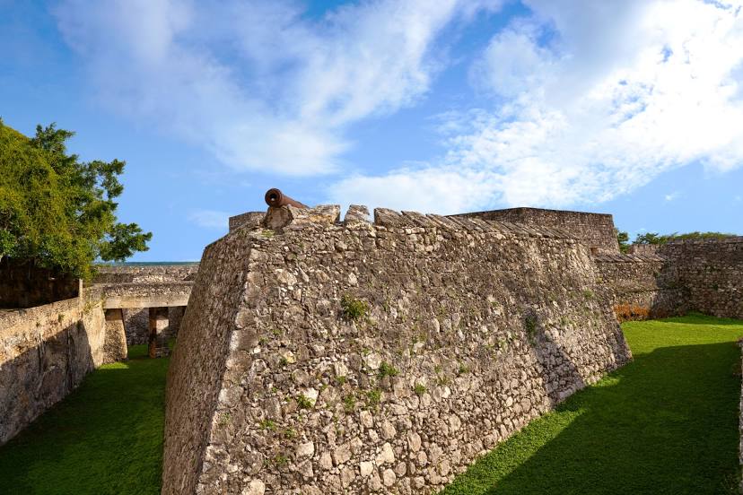
Las Vigas — Uxmal
Las Vigas — Villa de Juárez
Las Vigas — San Miguel de Allende
Las Vigas — Santa Prisca
Las Vigas — St Thomas
Las Vigas — Celestun
Las Vigas — Zaragoza
Las Vigas — Sauz de Abajo
Las Vigas — San José de las Delicias
Las Vigas — Barra Copalita
Las Vigas — Aconchi
Las Vigas — Arista
Las Vigas — Santiago Niltepec
Las Vigas — Teziutlan
Las Vigas — El Barril
Las Vigas — Xoxocotla
Las Vigas — Lomitas
Las Vigas — Necaxa
Las Vigas — Jerécuaro
Las Vigas — Uxmal
Las Vigas — Villa de Juárez
Las Vigas — San Miguel de Allende
Las Vigas — Santa Prisca
Las Vigas — St Thomas
Las Vigas — Celestun
Las Vigas — Zaragoza
Las Vigas — Sauz de Abajo
Las Vigas — San José de las Delicias
Las Vigas — Barra Copalita
Las Vigas — Aconchi
Las Vigas — Arista
Las Vigas — Santiago Niltepec
Las Vigas — Bacalar distance, route on the map
Distance by car
Distance between Las Vigas, Guerrero, Mexico and Bacalar, Quintana Roo, Mexico by car is — km, or miles. To travel this distance by car, you need minute, or h.
Route on the map, driving directions
Car route Las Vigas — Bacalar was created automatically. The road on the map is shown as a blue line. By moving the markers, you can create a new route through the points you need.
Distance by plane
If you decide to take a trip Las Vigas Bacalar by plane, then you have to fly the distance — 1167 km or 724 miles. It is marked on the map with a gray line (between two points in a straight line).
Flight time
Estimated flight time Las Vigas Bacalar by plane at cruising speed 750 km / h will be — 1 h. and 33 min.
Direction of movement
Mexico, Las Vigas — right-hand traffic. Mexico, Bacalar — right-hand traffic.
Difference in time
Las Vigas and Bacalar are in different time zones. The time difference is 1 hour (UTC -6 America/Mexico_City, UTC -5 America/Cancun).
Interesting Facts
Information on alternative ways to get to your destination.
The length of this distance is about 2.9% of the total length of the equator.
The percentage of the population is clearly shown in the graph:
Las Vigas — 4,504 (less by 7,009), Bacalar — 11,513 residents.
The cost of travel
Calculate the cost of the trip yourself using the fuel consumption calculator, changing the data in the table.