 San Lucas Tunco
Las Rosas
Frontera Comalapa
Culiacán Rosales
Comalcalco
Balancán
Nacajuca
Macultepec
Huimanguillo
Cosolapa
Santa María Huatulco
Juchitán de Zaragoza
Tecolutla
Amatlán
San Bernardo Mixtepec
Zaachila
Acatlán de Osorio
San Sebastián Yutanino
Tlaxiaco
San Lucas Tunco
Las Rosas
Frontera Comalapa
Culiacán Rosales
Comalcalco
Balancán
Nacajuca
Macultepec
Huimanguillo
Cosolapa
Santa María Huatulco
Juchitán de Zaragoza
Tecolutla
Amatlán
San Bernardo Mixtepec
Zaachila
Acatlán de Osorio
San Sebastián Yutanino
Tlaxiaco
Zacatlán on the map, Mexico
Where is located Zacatlán
Exact location — Zacatlán, Zacatlán, Puebla, Mexico, marked on the map with a red marker.
Coordinates
Zacatlán, Mexico coordinates in decimal format: latitude — 19.9350819, longitude — -97.9611534. When converted to degrees, minutes, seconds Zacatlán has the following coordinates: 19°56′6.29 north latitude and -97°57′40.15 east longitude.
Population
Zacatlán, Zacatlán, Puebla, Mexico, according to our data the population is — 31,708 residents, which is about 0% of the total population of the country (Mexico).
Comparison of the population on the graph:
Exact time
Time zone for this location Zacatlán — UTC -6 America/Mexico_City. Exact time — saturday, 4 april 2024 year, 20 h. 42 minutes.
Sunrise and sunset
Zacatlán, sunrise and sunset data for a date — saturday 27.04.2024.
| Sunrise | Sunset | Day (duration) |
|---|---|---|
| 06:07 -0 minutes | 18:51 -0 minutes | 12 h. 42 minutes. -0 minutes |
You can control the scale of the map using the auxiliary tools to find out exactly where it is located Zacatlán. When you change the scale of the map, the width of the ruler also changes (in kilometers and miles).
Nearby cities
The largest cities that are located nearby:
- Tulancingo — 45 km
- Poza Rica de Hidalgo — 83 km
- Pachuca — 85 km
- Martínez de la Torre — 95 km
- Puebla — 102 km
- Texcoco — 107 km
- Ojo de Agua — 115 km
- Xalapa — 118 km
- Chimalhuacan — 118 km
- Ixtapaluca — 119 km
- Ecatepec — 119 km
- Ciudad Nezahualcóyotl — 123 km
- Chalco de Díaz Covarrubias — 123 km
- Coacalco — 124 km
- Buenavista — 131 km
- Tlalnepantla — 136 km
- Cuautitlán Izcalli — 138 km
- Naucalpan — 142 km
- Ciudad López Mateos — 142 km
Distance to neighboring capitals:
- Guatemala City
 (Guatemala) — 986 km
 - Belmopan
 (Belize) — 1014 km
 - Tegucigalpa
 (Honduras) — 1314 km
 - Washington
 (United States) — 2912 km
 - Saint John
 (Puerto Rico) — 3345 km
 - Ottawa
 (Canada) — 3493 km
 - Belgrade
 (Serbia) — 10503 km
 - Podgorica
 (Montenegro) — 10567 km
 - Hagåtña
 (Guam) — 12219 km
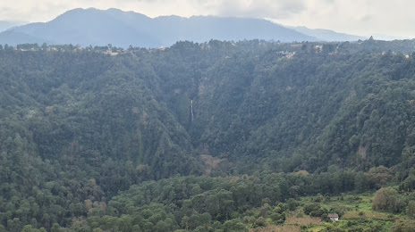
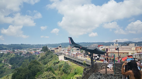
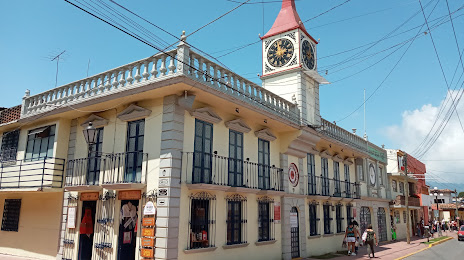
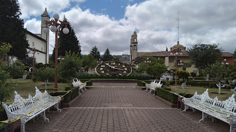
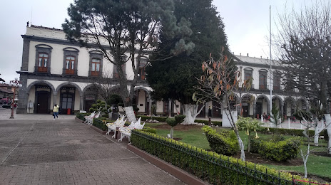
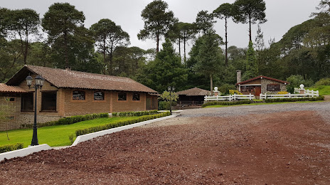
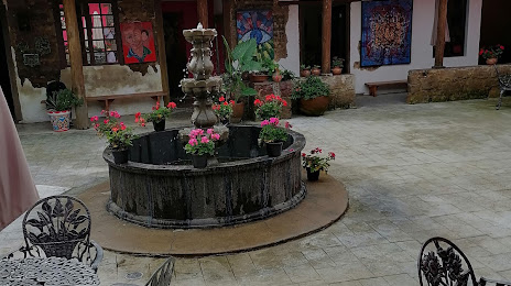
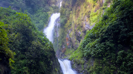
Attractions

Distance to the capital
Distance to the capital (Mexico City) is about — 135 km.