Ixmiquilpan — Beams of Ramirez
Ixmiquilpan — Uxmal
Ixmiquilpan — Acanceh
Ixmiquilpan — Sultepec
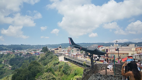
Ixmiquilpan — The airplanes
Ixmiquilpan — Papantla de Olarte
Ixmiquilpan — Monterrey
Ixmiquilpan — Matias Romero Avendano
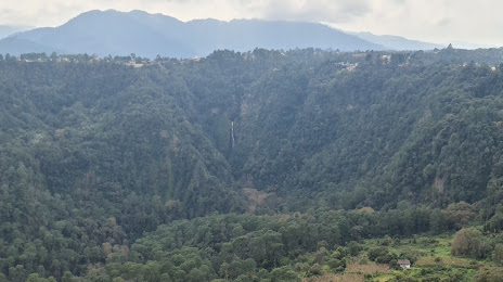
Ixmiquilpan — El Salto
Ixmiquilpan — Tehuantepec
Ixmiquilpan — Totolapan
Ixmiquilpan — Uruapan
Ixmiquilpan — La Lira
Ixmiquilpan — Palmira
Ixmiquilpan — Saltabarranca
Ixmiquilpan — San Pedro
Ixmiquilpan — Río Grande
Ixmiquilpan — San Pedro Huamelula
Ixmiquilpan — Ruiz
Actopan
Actopan
El Arenal
San Agustin Tlaxiaca
Airport Ing. Juan Guillermo Villasana
Pachuca
Hidalgo
Chain
Pachuquilla
Mineral de la Reforma
Singuilucan
Tulancingo
Santa Ana Hueytlalpan
Acaxochitlán
Huauchinango
Ahuazotepec
Agua Zarca
Ixmiquilpan — Beams of Ramirez
Ixmiquilpan — Uxmal
Ixmiquilpan — Acanceh
Ixmiquilpan — Sultepec
Ixmiquilpan — The airplanes
Ixmiquilpan — Papantla de Olarte
Ixmiquilpan — Monterrey
Ixmiquilpan — Matias Romero Avendano
Ixmiquilpan — El Salto
Ixmiquilpan — Tehuantepec
Ixmiquilpan — Totolapan
Ixmiquilpan — Uruapan
Ixmiquilpan — La Lira
Ixmiquilpan — Palmira
Ixmiquilpan — Saltabarranca
Ixmiquilpan — San Pedro
Ixmiquilpan — Río Grande
Ixmiquilpan — San Pedro Huamelula
Ixmiquilpan — Ruiz
Actopan
Actopan
El Arenal
San Agustin Tlaxiaca
Airport Ing. Juan Guillermo Villasana
Pachuca
Hidalgo
Chain
Pachuquilla
Mineral de la Reforma
Singuilucan
Tulancingo
Santa Ana Hueytlalpan
Acaxochitlán
Huauchinango
Ahuazotepec
Agua Zarca
Ixmiquilpan — Zacatlán distance, route on the map
Distance by car
Distance between Ixmiquilpan, Hidalgo, Mexico and Zacatlán, Puebla, Mexico by car is — km, or miles. To travel this distance by car, you need minute, or h.
Route on the map, driving directions
Car route Ixmiquilpan — Zacatlán was created automatically. The road on the map is shown as a blue line. By moving the markers, you can create a new route through the points you need.
Passing cities through which the car route passes: Ixmiquilpan, Actopan, Actopan, El Arenal, San Agustin Tlaxiaca, Airport Ing. Juan Guillermo Villasana, Pachuca, Hidalgo, Chain, Pachuquilla, Mineral de la Reforma, Singuilucan, Tulancingo, Santa Ana Hueytlalpan, Acaxochitlán, Huauchinango, Ahuazotepec, Agua Zarca.
Distance by plane
If you decide to take a trip Ixmiquilpan Zacatlán by plane, then you have to fly the distance — 145 km or 90 miles. It is marked on the map with a gray line (between two points in a straight line).
Flight time
Estimated flight time Ixmiquilpan Zacatlán by plane at cruising speed 750 km / h will be — 11 min.
Direction of movement
Mexico, Ixmiquilpan — right-hand traffic. Mexico, Zacatlán — right-hand traffic.
Difference in time
Ixmiquilpan and Zacatlán are in the same time zone. Between them there is no time difference (UTC -6 America/Mexico_City).
Interesting Facts
Information on alternative ways to get to your destination.
The length of this distance is about 0.4% of the total length of the equator.
The percentage of the population is clearly shown in the graph:
Ixmiquilpan — 32,475, Zacatlán — 31,708 residents (less by 767).
The cost of travel
Calculate the cost of the trip yourself using the fuel consumption calculator, changing the data in the table.