Frontera Comalapa — San Pablo Guelatao
Frontera Comalapa — Piedras Negras
Frontera Comalapa — Santo Domingo Chihuitán
Frontera Comalapa — Cruces
Frontera Comalapa — Montitlán
Frontera Comalapa — Rancho los Pinos
Frontera Comalapa — Temoac
Frontera Comalapa — Buenavista
Frontera Comalapa — Jalapa
Frontera Comalapa — Cuautitlán Izcalli
Frontera Comalapa — San Pedro Abajo
Frontera Comalapa — San Nicolas de los Garza
Frontera Comalapa — Venustiano Carranza Municipality, Puebla
Frontera Comalapa — Cholula
Frontera Comalapa — Kino Bay
Frontera Comalapa — Tijuana
Frontera Comalapa — Ecatepec
Frontera Comalapa — New Italy
Frontera Comalapa — Ciudad de Cuetzalan
Monte Redondo
La Mesilla
Frontera Comalapa — San Pablo Guelatao
Frontera Comalapa — Piedras Negras
Frontera Comalapa — Santo Domingo Chihuitán
Frontera Comalapa — Cruces
Frontera Comalapa — Montitlán
Frontera Comalapa — Rancho los Pinos
Frontera Comalapa — Temoac
Frontera Comalapa — Buenavista
Frontera Comalapa — Jalapa
Frontera Comalapa — Cuautitlán Izcalli
Frontera Comalapa — San Pedro Abajo
Frontera Comalapa — San Nicolas de los Garza
Frontera Comalapa — Venustiano Carranza Municipality, Puebla
Frontera Comalapa — Cholula
Frontera Comalapa — Kino Bay
Frontera Comalapa — Tijuana
Frontera Comalapa — Ecatepec
Frontera Comalapa — New Italy
Frontera Comalapa — Ciudad de Cuetzalan
Monte Redondo
La Mesilla  La Gloria
La Trinitaria
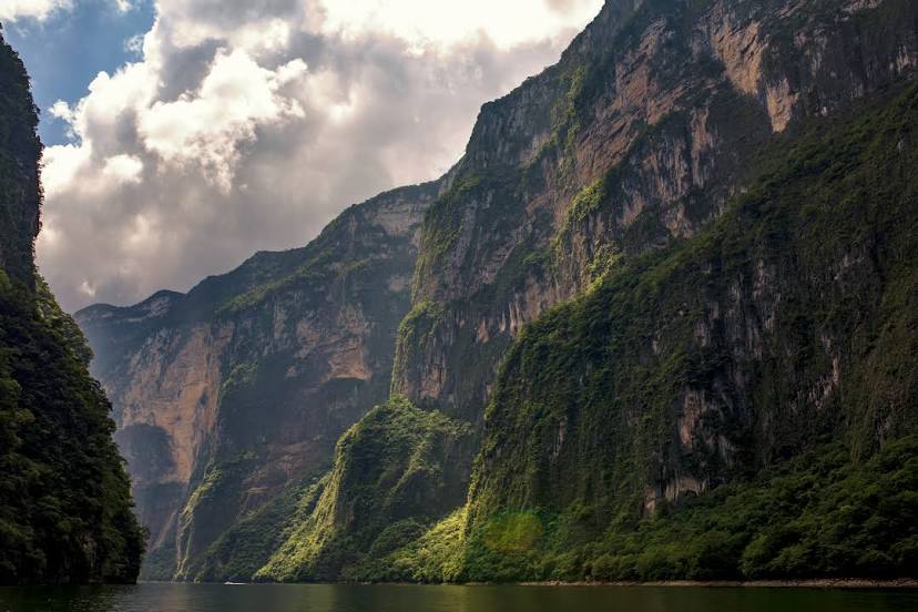
Comitán
Comitan
Amatenango
Teopisca
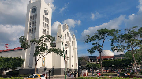
San Cristobal de las Casas
Zinacantán
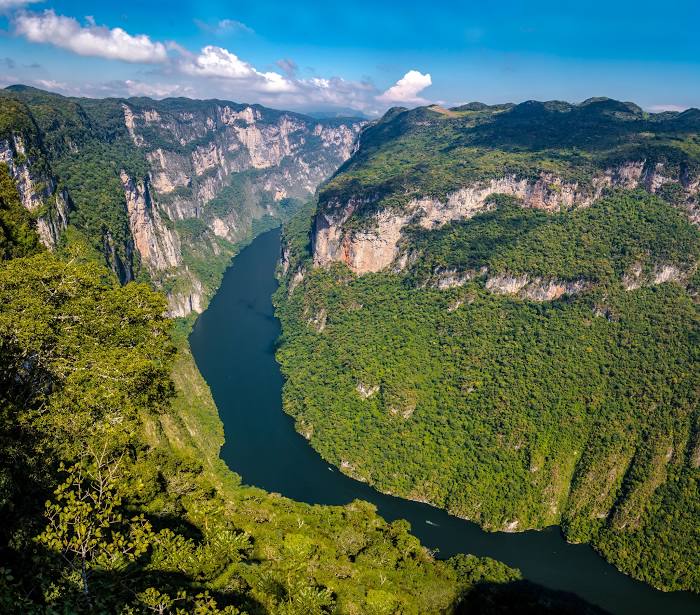
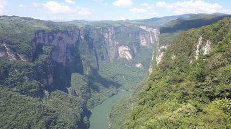
Chiapa de Corzo
Chiapa de Corzo
La Gloria
La Trinitaria
Comitán
Comitan
Amatenango
Teopisca
San Cristobal de las Casas
Zinacantán
Chiapa de Corzo
Chiapa de Corzo
Frontera Comalapa — Tuxtla Gutiérrez distance, route on the map
Distance by car
Distance between Frontera Comalapa, Chiapas, Mexico and Tuxtla Gutiérrez, Chiapas, Mexico by car is — km, or miles. To travel this distance by car, you need minute, or h.
Route on the map, driving directions
Car route Frontera Comalapa — Tuxtla Gutiérrez was created automatically. The road on the map is shown as a blue line. By moving the markers, you can create a new route through the points you need.
Passing cities through which the car route passes: Frontera Comalapa, Monte Redondo, La Mesilla (gt), La Gloria, La Trinitaria, Comitán, Comitan, Amatenango, Teopisca, San Cristobal de las Casas, Zinacantán, Chiapa de Corzo, Chiapa de Corzo.
Distance by plane
If you decide to take a trip Frontera Comalapa Tuxtla Gutiérrez by plane, then you have to fly the distance — 159 km or 99 miles. It is marked on the map with a gray line (between two points in a straight line).
Flight time
Estimated flight time Frontera Comalapa Tuxtla Gutiérrez by plane at cruising speed 750 km / h will be — 12 min.
Direction of movement
Mexico, Frontera Comalapa — right-hand traffic. Mexico, Tuxtla Gutiérrez — right-hand traffic.
Difference in time
Frontera Comalapa and Tuxtla Gutiérrez are in the same time zone. Between them there is no time difference (UTC -6 America/Mexico_City).
Interesting Facts
Information on alternative ways to get to your destination.
The length of this distance is about 0.4% of the total length of the equator.
The percentage of the population is clearly shown in the graph:
Frontera Comalapa — 14,917 (less by 466,226), Tuxtla Gutiérrez — 481,143 residents.
The cost of travel
Calculate the cost of the trip yourself using the fuel consumption calculator, changing the data in the table.