San Luis de la Paz — Marfil
San Luis de la Paz — Las Margaritas
San Luis de la Paz — Santa Bárbara
San Luis de la Paz — El Combate
San Luis de la Paz — Cataviña
San Luis de la Paz — Balancán Municipality
San Luis de la Paz — Jalapilla
San Luis de la Paz — Villa Manuel
San Luis de la Paz — Monterrey
San Luis de la Paz — Huazuntlán
San Luis de la Paz — Valladolid Nuevo
San Luis de la Paz — Surutato
San Luis de la Paz — Santiago Amoltepec
San Luis de la Paz — Magdalena Tequisistlán
San Luis de la Paz — Jalapa
San Luis de la Paz — Ciudad Juarez
San Luis de la Paz — Quiroga
San Luis de la Paz — Zapotiltic
San Luis de la Paz — Villa MonteMorelos
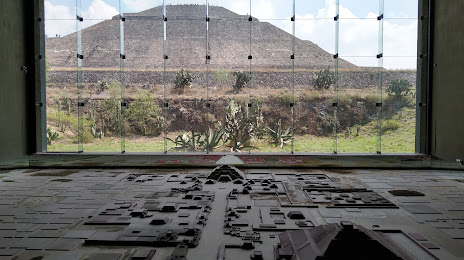
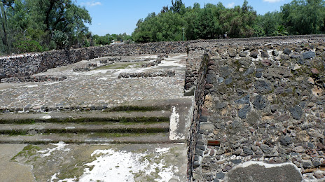
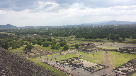
San Luis de la Paz — Teotihuacán de Arista distance, route on the map
Distance by car
Distance between San Luis de la Paz, Guanajuato, Mexico and Teotihuacán de Arista, Estado de México, Mexico by car is — km, or miles. To travel this distance by car, you need minute, or h.
Route on the map, driving directions
Car route San Luis de la Paz — Teotihuacán de Arista was created automatically. The road on the map is shown as a blue line. By moving the markers, you can create a new route through the points you need.
Distance by plane
If you decide to take a trip San Luis de la Paz Teotihuacán de Arista by plane, then you have to fly the distance — 248 km or 154 miles. It is marked on the map with a gray line (between two points in a straight line).
Flight time
Estimated flight time San Luis de la Paz Teotihuacán de Arista by plane at cruising speed 750 km / h will be — 19 min.
Direction of movement
Mexico, San Luis de la Paz — right-hand traffic. Mexico, Teotihuacán de Arista — right-hand traffic.
Difference in time
San Luis de la Paz and Teotihuacán de Arista are in the same time zone. Between them there is no time difference (UTC -6 America/Mexico_City).
Interesting Facts
Information on alternative ways to get to your destination.
The length of this distance is about 0.6% of the total length of the equator.
The percentage of the population is clearly shown in the graph:
San Luis de la Paz — 47,323, Teotihuacán de Arista — 22,541 residents (less by 24,782).
The cost of travel
Calculate the cost of the trip yourself using the fuel consumption calculator, changing the data in the table.