San José Iturbide — Tepalcingo
San José Iturbide — Ímuris
San José Iturbide — Minatitlán
San José Iturbide — Maní
San José Iturbide — San Marcos Huixtoco
San José Iturbide — Temoaya
San José Iturbide — Carretera Uman - Hopelchen km 101
San José Iturbide — Sabinas
San José Iturbide — Heroica Ciudad de Huajuapan de Leon
San José Iturbide — Ixtlahuacán de los Membrillos
San José Iturbide — Poblado Alfredo V. Bonfil
San José Iturbide — San Mateo del Mar
San José Iturbide — La Laborcita
San José Iturbide — Yobaín
San José Iturbide — Papantla
San José Iturbide — Sinaloa de Leyva
San José Iturbide — San Lucas Tunco
San José Iturbide — Panindícuaro
San José Iturbide — Nuevo Laredo
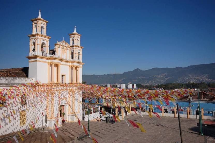
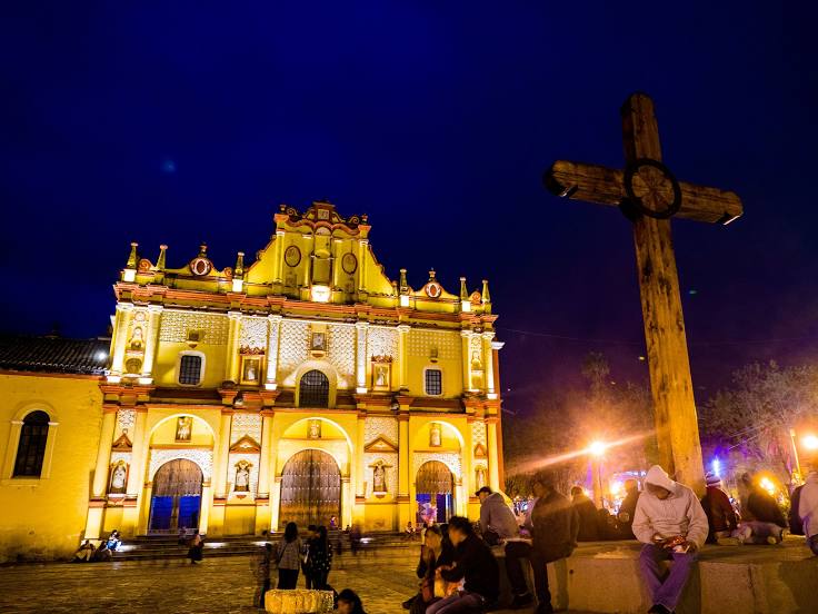
San José Iturbide — San Cristóbal de las Casas distance, route on the map
Distance by car
Distance between San José Iturbide, Guanajuato, Mexico and San Cristóbal de las Casas, Chiapas, Mexico by car is — km, or miles. To travel this distance by car, you need minute, or h.
Route on the map, driving directions
Car route San José Iturbide — San Cristóbal de las Casas was created automatically. The road on the map is shown as a blue line. By moving the markers, you can create a new route through the points you need.
Distance by plane
If you decide to take a trip San José Iturbide San Cristóbal de las Casas by plane, then you have to fly the distance — 943 km or 585 miles. It is marked on the map with a gray line (between two points in a straight line).
Flight time
Estimated flight time San José Iturbide San Cristóbal de las Casas by plane at cruising speed 750 km / h will be — 1 h. and 15 min.
Direction of movement
Mexico, San José Iturbide — right-hand traffic. Mexico, San Cristóbal de las Casas — right-hand traffic.
Difference in time
San José Iturbide and San Cristóbal de las Casas are in the same time zone. Between them there is no time difference (UTC -6 America/Mexico_City).
Interesting Facts
Information on alternative ways to get to your destination.
The length of this distance is about 2.4% of the total length of the equator.
The percentage of the population is clearly shown in the graph:
San José Iturbide — 16,702 (less by 112,294), San Cristóbal de las Casas — 128,996 residents.
The cost of travel
Calculate the cost of the trip yourself using the fuel consumption calculator, changing the data in the table.