Apaseo el Alto — Ozuluama de Mascareñas
Apaseo el Alto — Riva Palacio
Apaseo el Alto — Córdoba
Apaseo el Alto — Pine trees
Apaseo el Alto — Ixtaczoquitlán
Apaseo el Alto — Jalpa de Méndez
Apaseo el Alto — Nuevo Orizaba
Apaseo el Alto — Jaumave
Apaseo el Alto — Salvador Alvarado Municipality
Apaseo el Alto — Ciénega de Nuestra Señora de Guadalupe
Apaseo el Alto — Libres
Apaseo el Alto — Doctor González
Apaseo el Alto — San Bernardo Mixtepec
Apaseo el Alto — Angostura
Apaseo el Alto — Barra de Potosí
Apaseo el Alto — Akumal
Apaseo el Alto — Juan Pablo II
Apaseo el Alto — Tarimoro
Apaseo el Alto — Ramos Arizpe
St. lucia
Ejido San Sebastián de las Barrancas
Aculco
San Jerónimo
Acambay
Atlacomulco de Fabela
Emiliano Zapata
Ixtlahuaca de Rayón
Mexico state
San Cayetano Morelos
Toluca
Metepec
San Mateo Mexicaltzingo
San Antonio la Isla
Santa María Rayón
Santa María Rayón
Tenango del Valle
Tenango de Arista
Santa Ana Ixtlahuatzingo
Villa Guerrero
Zacango
Ixtapan de la Sal
Tonatico
La Vega
Cacahuamilpa
Apaseo el Alto — Ozuluama de Mascareñas
Apaseo el Alto — Riva Palacio
Apaseo el Alto — Córdoba
Apaseo el Alto — Pine trees
Apaseo el Alto — Ixtaczoquitlán
Apaseo el Alto — Jalpa de Méndez
Apaseo el Alto — Nuevo Orizaba
Apaseo el Alto — Jaumave
Apaseo el Alto — Salvador Alvarado Municipality
Apaseo el Alto — Ciénega de Nuestra Señora de Guadalupe
Apaseo el Alto — Libres
Apaseo el Alto — Doctor González
Apaseo el Alto — San Bernardo Mixtepec
Apaseo el Alto — Angostura
Apaseo el Alto — Barra de Potosí
Apaseo el Alto — Akumal
Apaseo el Alto — Juan Pablo II
Apaseo el Alto — Tarimoro
Apaseo el Alto — Ramos Arizpe
St. lucia
Ejido San Sebastián de las Barrancas
Aculco
San Jerónimo
Acambay
Atlacomulco de Fabela
Emiliano Zapata
Ixtlahuaca de Rayón
Mexico state
San Cayetano Morelos
Toluca
Metepec
San Mateo Mexicaltzingo
San Antonio la Isla
Santa María Rayón
Santa María Rayón
Tenango del Valle
Tenango de Arista
Santa Ana Ixtlahuatzingo
Villa Guerrero
Zacango
Ixtapan de la Sal
Tonatico
La Vega
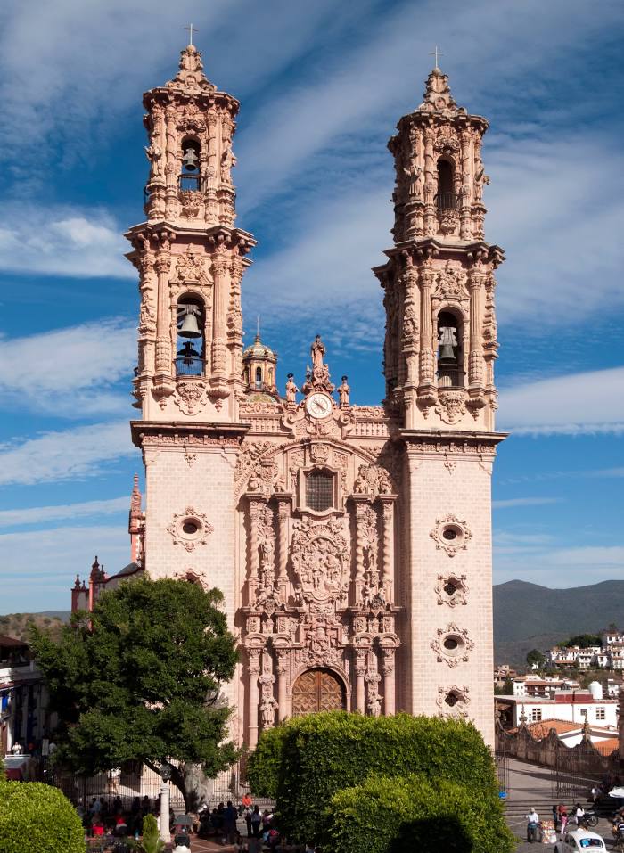
Cacahuamilpa
Apaseo el Alto — Taxco distance, route on the map
Distance by car
Distance between Apaseo el Alto, Guanajuato, Mexico and Taxco, Guerrero, Mexico by car is — km, or miles. To travel this distance by car, you need minute, or h.
Route on the map, driving directions
Car route Apaseo el Alto — Taxco was created automatically. The road on the map is shown as a blue line. By moving the markers, you can create a new route through the points you need.
Passing cities through which the car route passes: El Vegil, St. lucia, Ejido San Sebastián de las Barrancas, Aculco, San Jerónimo, Acambay, Atlacomulco de Fabela, Emiliano Zapata, Ixtlahuaca de Rayón, Mexico state, San Cayetano Morelos, Toluca, Metepec, San Mateo Mexicaltzingo, San Antonio la Isla, Santa María Rayón, Santa María Rayón, Tenango del Valle, Tenango de Arista, Santa Ana Ixtlahuatzingo, Villa Guerrero, Zacango, Ixtapan de la Sal, Tonatico, La Vega, Cacahuamilpa.
Distance by plane
If you decide to take a trip Apaseo el Alto Taxco by plane, then you have to fly the distance — 236 km or 146 miles. It is marked on the map with a gray line (between two points in a straight line).
Flight time
Estimated flight time Apaseo el Alto Taxco by plane at cruising speed 750 km / h will be — 18 min.
Direction of movement
Mexico, Apaseo el Alto — right-hand traffic. Mexico, Taxco — right-hand traffic.
Difference in time
Apaseo el Alto and Taxco are in the same time zone. Between them there is no time difference (UTC -6 America/Mexico_City).
Interesting Facts
Information on alternative ways to get to your destination.
The length of this distance is about 0.6% of the total length of the equator.
The percentage of the population is clearly shown in the graph:
Apaseo el Alto — 25,577 (less by 27,642), Taxco — 53,219 residents.
The cost of travel
Calculate the cost of the trip yourself using the fuel consumption calculator, changing the data in the table.