 Rosamorada
Encarnación
Loma Bonita
Santiago Tuxtla
Tenancingo
El Sabino
Primo Tapia
Rosarito
Santa Rosalía
Puerto Peñasco
Caborca
Ures
Tarimoro
Charo
Sahuayo
Chavinda
Jiquilpan
Jacona
La Piedad
Rosamorada
Encarnación
Loma Bonita
Santiago Tuxtla
Tenancingo
El Sabino
Primo Tapia
Rosarito
Santa Rosalía
Puerto Peñasco
Caborca
Ures
Tarimoro
Charo
Sahuayo
Chavinda
Jiquilpan
Jacona
La Piedad
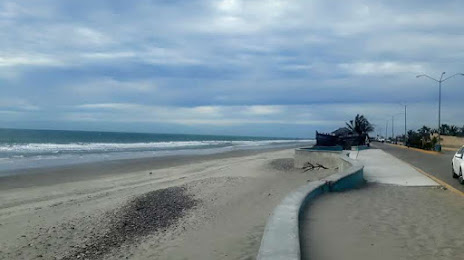
La Cruz on the map, Mexico
Where is located La Cruz
Exact location — La Cruz, Elota, Sinaloa, Mexico, marked on the map with a red marker.
Coordinates
La Cruz, Mexico coordinates in decimal format: latitude — 23.921389, longitude — -106.891944. When converted to degrees, minutes, seconds La Cruz has the following coordinates: 23°55′17 north latitude and -106°53′31 east longitude.
Population
La Cruz, Elota, Sinaloa, Mexico, according to our data the population is — 11,900 residents, which is about 0% of the total population of the country (Mexico).
Comparison of the population on the graph:
Exact time
Time zone for this location La Cruz — UTC -7 America/Mazatlan. Exact time — thursday, 4 april 2024 year, 18 h. 33 minutes.
Sunrise and sunset
La Cruz, sunrise and sunset data for a date — thursday 25.04.2024.
| Sunrise | Sunset | Day (duration) |
|---|---|---|
| 05:39 -1 minute | 18:31 +1 minute | 12 h. 54 minutes. +2 minutes |
You can control the scale of the map using the auxiliary tools to find out exactly where it is located La Cruz. When you change the scale of the map, the width of the ruler also changes (in kilometers and miles).
Nearby cities
The largest cities that are located nearby:
- Mazatlán — 89 km
- Durango — 226 km
- Los Mochis — 294 km
- Tepic — 337 km
- La Paz — 346 km
- Gómez Palacio — 386 km
- Torreón — 391 km
- Puerto Vallarta — 400 km
- Matamoros — 407 km
- Fresnillo — 417 km
- Navojoa — 430 km
- Zacatecas — 457 km
- Delicias — 492 km
- Ciudad Obregón — 494 km
- Zapopan — 508 km
- Guadalajara — 514 km
- Tlaquepaque — 519 km
- Aguascalientes — 523 km
- Tonalá — 525 km
Distance to neighboring capitals:
- Guatemala City
 (Guatemala) — 2003 km
 - Belmopan
 (Belize) — 2025 km
 - Tegucigalpa
 (Honduras) — 2337 km
 - Washington
 (United States) — 3265 km
 - Ottawa
 (Canada) — 3682 km
 - Saint John
 (Puerto Rico) — 4259 km
 - Belgrade
 (Serbia) — 10699 km
 - Podgorica
 (Montenegro) — 10805 km
 - Hagåtña
 (Guam) — 11199 km
Attractions
Distance to the capital
Distance to the capital (Mexico City) is about — 944 km.