 San Luis Río Colorado
Salazar
Guzmán
Izamal
Soto la Marina
Pilar
La Ribera
Mineral del Monte
Nueva Ciudad Guerrero
Apaxtla
Yuriria
Naco
Agua Verde
Juan José Ríos
Mocorito
Navolato
Angostura
La Cruz
Todos Santos
San Luis Río Colorado
Salazar
Guzmán
Izamal
Soto la Marina
Pilar
La Ribera
Mineral del Monte
Nueva Ciudad Guerrero
Apaxtla
Yuriria
Naco
Agua Verde
Juan José Ríos
Mocorito
Navolato
Angostura
La Cruz
Todos Santos
Rosarito on the map, Mexico
Where is located Rosarito
Exact location — Rosarito, Rosarito Beach Municipality, Baja California, Mexico, marked on the map with a red marker.
Coordinates
Rosarito, Mexico coordinates in decimal format: latitude — 32.342222, longitude — -117.056111. When converted to degrees, minutes, seconds Rosarito has the following coordinates: 32°20′32 north latitude and -117°3′22 east longitude.
Population
Rosarito, Rosarito Beach Municipality, Baja California, Mexico, according to our data the population is — 66,023 residents, which is about 0.1% of the total population of the country (Mexico).
Comparison of the population on the graph:
Exact time
Time zone for this location Rosarito — UTC -7 America/Tijuana. Exact time — thursday, 4 april 2024 year, 18 h. 11 minutes.
Sunrise and sunset
Rosarito, sunrise and sunset data for a date — thursday 25.04.2024.
| Sunrise | Sunset | Day (duration) |
|---|---|---|
| 06:09 -1 minute | 19:22 +1 minute | 13 h. 12 minutes. +2 minutes |
You can control the scale of the map using the auxiliary tools to find out exactly where it is located Rosarito. When you change the scale of the map, the width of the ruler also changes (in kilometers and miles).
Nearby cities
The largest cities that are located nearby:
- Tijuana — 19 km
- Chula Vista
 (United States) — 33 km
 - San Diego (United States) — 42 km
- Ensenada — 68 km
- Escondido (United States) — 86 km
- Oceanside (United States) — 99 km
- Mexicali — 153 km
- Irvine (United States) — 163 km
- Costa Mesa (United States) — 164 km
- Huntington Beach (United States) — 170 km
- Santa Ana (United States) — 172 km
- Orange (United States) — 176 km
- Corona (United States) — 176 km
- Moreno Valley (United States) — 178 km
- Garden Grove (United States) — 178 km
- Riverside (United States) — 181 km
- Anaheim (United States) — 183 km
- Fullerton (United States) — 187 km
- Long Beach (United States) — 189 km
Distance to neighboring capitals:
- Belmopan
 (Belize) — 3297 km
 - Guatemala City
 (Guatemala) — 3331 km
 - Tegucigalpa
 (Honduras) — 3643 km
 - Washington (United States) — 3661 km
- Ottawa
 (Canada) — 3814 km
 - Saint John
 (Puerto Rico) — 5294 km
 - Hagåtña
 (Guam) — 9962 km
 - Belgrade
 (Serbia) — 10427 km
 - Podgorica
 (Montenegro) — 10584 km
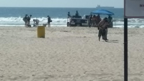
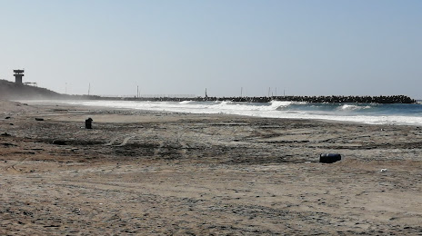
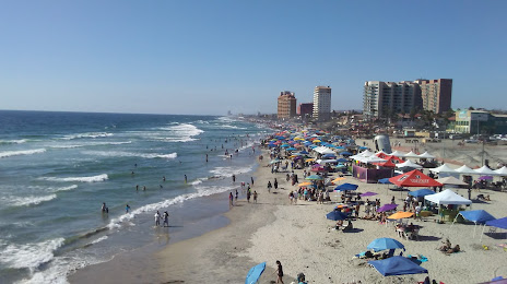
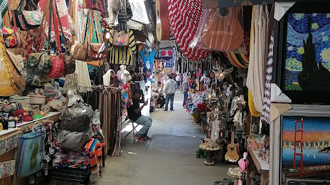
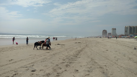
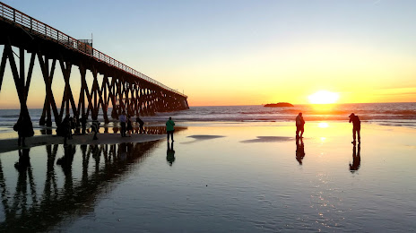
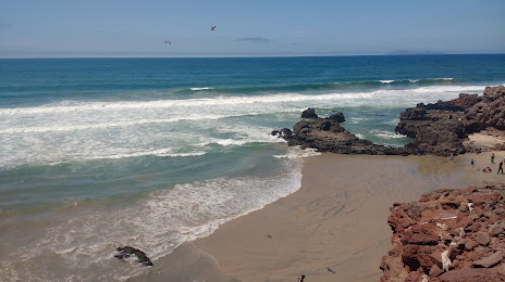
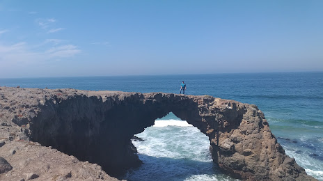
Attractions

Distance to the capital
Distance to the capital (Mexico City) is about — 2291 km.