Angostura — Angangueo
Angostura — Matachí
Angostura — Fraccionamiento Santa Fe
Angostura — Ixtlán de los Hervores
Angostura — Cuautitlán Izcalli
Angostura — San Pedro de la Cueva
Angostura — La Pesca
Angostura — Otumba
Angostura — Maravillas
Angostura — Catemaco
Angostura — Los Lamentos
Angostura — Palenque
Angostura — San Camilo
Angostura — Nicolás Bravo
Angostura — Lagunillas
Angostura — Matamoros
Angostura — Acambay
Angostura — Fresnillo
Angostura — Zaragoza
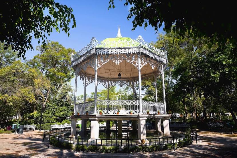
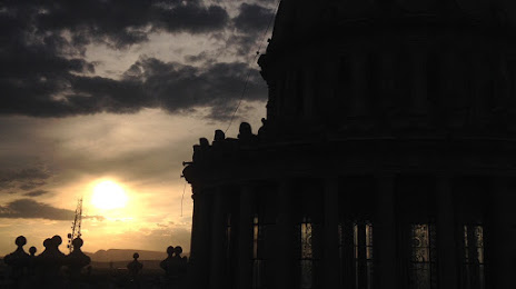
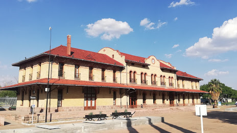
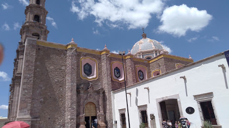
Angostura — Aguascalientes distance, route on the map
Distance by car
Distance between Angostura, Sinaloa, Mexico and Aguascalientes, Aguascalientes, Mexico by car is — km, or miles. To travel this distance by car, you need minute, or h.
Route on the map, driving directions
Car route Angostura — Aguascalientes was created automatically. The road on the map is shown as a blue line. By moving the markers, you can create a new route through the points you need.
Distance by plane
If you decide to take a trip Angostura Aguascalientes by plane, then you have to fly the distance — 712 km or 441 miles. It is marked on the map with a gray line (between two points in a straight line).
Flight time
Estimated flight time Angostura Aguascalientes by plane at cruising speed 750 km / h will be — 56 min.
Direction of movement
Mexico, Angostura — right-hand traffic. Mexico, Aguascalientes — right-hand traffic.
Difference in time
Angostura and Aguascalientes are in different time zones. The time difference is 1 hour (UTC -7 America/Mazatlan, UTC -6 America/Mexico_City).
Interesting Facts
Information on alternative ways to get to your destination.
The length of this distance is about 1.8% of the total length of the equator.
The percentage of the population is clearly shown in the graph:
Angostura — 4,587 (less by 653,606), Aguascalientes — 658,193 residents.
The cost of travel
Calculate the cost of the trip yourself using the fuel consumption calculator, changing the data in the table.