Silva Jardim — Jaquirana
Silva Jardim — Fortaleza dos Valos
Silva Jardim — Serrita
Silva Jardim — Gurupi
Silva Jardim — Aljubarrota
Silva Jardim — Itatiaia
Silva Jardim — Pinhalzinho
Silva Jardim — Ribeirão Pires
Silva Jardim — Iapu
Silva Jardim — Miranda
Silva Jardim — Candiota
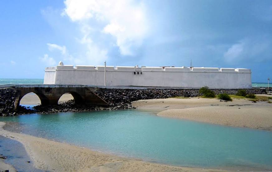
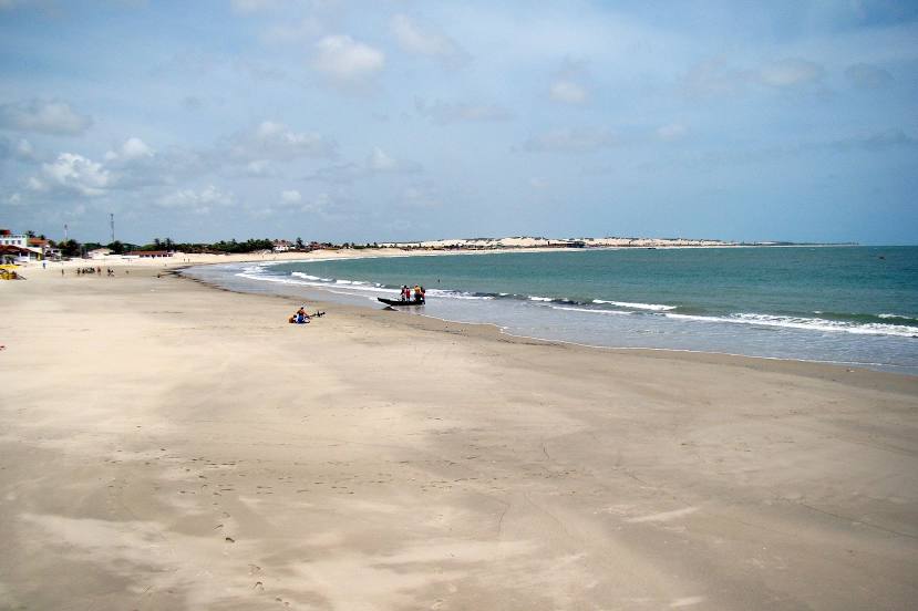
Silva Jardim — Taiba
Silva Jardim — Nerópolis
Silva Jardim — Aperibé
Silva Jardim — Buri
Silva Jardim — Volta Redonda
Silva Jardim — Uruguaiana International Airport
Silva Jardim — Rio de Janeiro
Silva Jardim — Canarana
Silva Jardim — Jaquirana
Silva Jardim — Fortaleza dos Valos
Silva Jardim — Serrita
Silva Jardim — Gurupi
Silva Jardim — Aljubarrota
Silva Jardim — Itatiaia
Silva Jardim — Pinhalzinho
Silva Jardim — Ribeirão Pires
Silva Jardim — Iapu
Silva Jardim — Miranda
Silva Jardim — Candiota
Silva Jardim — Taiba
Silva Jardim — Nerópolis
Silva Jardim — Aperibé
Silva Jardim — Buri
Silva Jardim — Volta Redonda
Silva Jardim — Uruguaiana International Airport
Silva Jardim — Rio de Janeiro
Silva Jardim — Canarana
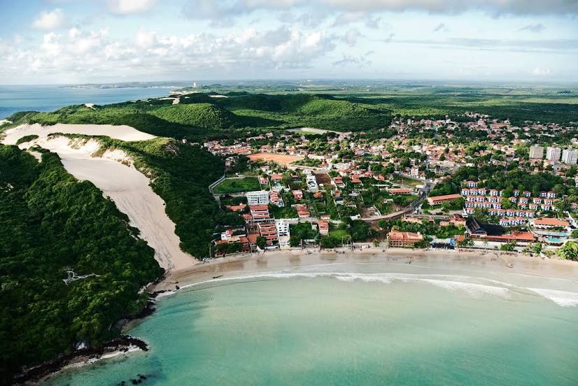
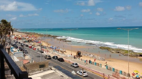
Silva Jardim — Natal distance, route on the map
Distance by car
Distance between Silva Jardim, State of Rio de Janeiro, Brazil and Natal, Rio Grande do Norte, Brazil by car is — km, or miles. To travel this distance by car, you need minute, or h.
Route on the map, driving directions
Car route Silva Jardim — Natal was created automatically. The road on the map is shown as a blue line. By moving the markers, you can create a new route through the points you need.
Distance by plane
If you decide to take a trip Silva Jardim Natal by plane, then you have to fly the distance — 2029 km or 1258 miles. It is marked on the map with a gray line (between two points in a straight line).
Flight time
Estimated flight time Silva Jardim Natal by plane at cruising speed 750 km / h will be — 2 h. and 42 min.
Direction of movement
Brazil, Silva Jardim — right-hand traffic. Brazil, Natal — right-hand traffic.
Difference in time
Silva Jardim and Natal are in the same time zone. Between them there is no time difference (UTC -3 America/Sao_Paulo).
Interesting Facts
Information on alternative ways to get to your destination.
The length of this distance is about 5.1% of the total length of the equator.
The percentage of the population is clearly shown in the graph:
Silva Jardim — 16,889 (less by 746,168), Natal — 763,057 residents.
The cost of travel
Calculate the cost of the trip yourself using the fuel consumption calculator, changing the data in the table.