Santo Antônio do Pinhal — Lago da Pedra
Santo Antônio do Pinhal — Irupi
Santo Antônio do Pinhal — Augusto Severo International Airport
Santo Antônio do Pinhal — Senador Canedo
Santo Antônio do Pinhal — Butantã
Santo Antônio do Pinhal — Ceará-Mirim
Santo Antônio do Pinhal — Passira
Santo Antônio do Pinhal — Encruzilhada do Sul
Santo Antônio do Pinhal — Cedral
Santo Antônio do Pinhal — Marinópolis
Santo Antônio do Pinhal — Aeroporto Internacional de São José dos Campos - Professor Urbano Ernesto
Santo Antônio do Pinhal — Ubaíra
Santo Antônio do Pinhal — São Carlos
Santo Antônio do Pinhal — Santo Antônio de Posse
Santo Antônio do Pinhal — Triunfo
Santo Antônio do Pinhal — Brumadinho
Santo Antônio do Pinhal — Atalaia
Santo Antônio do Pinhal — Santo Amaro das Brotas
Santo Antônio do Pinhal — Ubaí
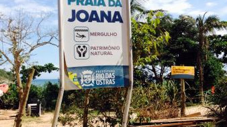
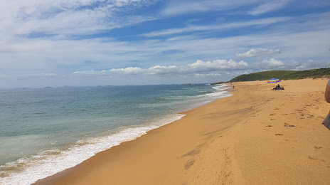
Santo Antônio do Pinhal — Rio das Ostras distance, route on the map
Distance by car
Distance between Santo Antônio do Pinhal, São Paulo, Brazil and Rio das Ostras, Rio de Janeiro, Brazil by car is — km, or miles. To travel this distance by car, you need minute, or h.
Route on the map, driving directions
Car route Santo Antônio do Pinhal — Rio das Ostras was created automatically. The road on the map is shown as a blue line. By moving the markers, you can create a new route through the points you need.
Distance by plane
If you decide to take a trip Santo Antônio do Pinhal Rio das Ostras by plane, then you have to fly the distance — 383 km or 237 miles. It is marked on the map with a gray line (between two points in a straight line).
Flight time
Estimated flight time Santo Antônio do Pinhal Rio das Ostras by plane at cruising speed 750 km / h will be — 30 min.
Direction of movement
Brazil, Santo Antônio do Pinhal — right-hand traffic. Brazil, Rio das Ostras — right-hand traffic.
Difference in time
Santo Antônio do Pinhal and Rio das Ostras are in the same time zone. Between them there is no time difference (UTC -3 America/Sao_Paulo).
Interesting Facts
Information on alternative ways to get to your destination.
The length of this distance is about 1.0% of the total length of the equator.
The percentage of the population is clearly shown in the graph:
Santo Antônio do Pinhal — 5,804 (less by 40,815), Rio das Ostras — 46,619 residents.
The cost of travel
Calculate the cost of the trip yourself using the fuel consumption calculator, changing the data in the table.