San Miguel — Sacachum
San Miguel — Yaruqui
San Miguel — Morona-Santiago Province
San Miguel — Huaca
San Miguel — Del Salitre
San Miguel — Zumba
San Miguel — Nueva Loja
San Miguel — Quinche
San Miguel — Engunga
San Miguel — Guano
San Miguel — Mariscal Sucre International Airport
San Miguel — Palanda
San Miguel — Avenida San José de Shell
San Miguel — Aeropuerto José Joaquín De Olmedo
San Miguel — Sucumbios
San Miguel — Santa Rufina
San Miguel — Gualaceo
San Miguel — Calacalí
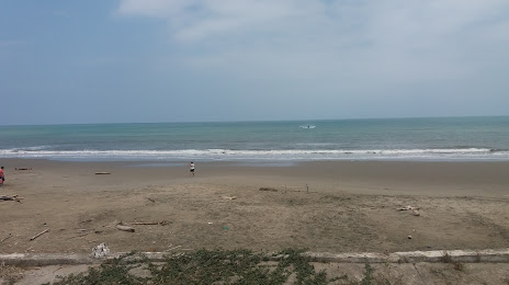
San Miguel — Beaches
San José de Chimbo
San José de Chimbo
San Simón
Guaranda
Guaranda
Guanujo
Guanujo
Bolivar
Simon Bolivar
Echeandía
Ventanas
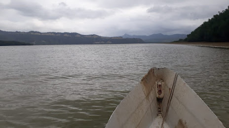
The rivers
Saint Charles
El Empalme
Velasco Ibarra
Pichincha
Pichincha
Zapote
Quiroga
Calceta
La Estancilla
Tosagua
San Miguel — Sacachum
San Miguel — Yaruqui
San Miguel — Morona-Santiago Province
San Miguel — Huaca
San Miguel — Del Salitre
San Miguel — Zumba
San Miguel — Nueva Loja
San Miguel — Quinche
San Miguel — Engunga
San Miguel — Guano
San Miguel — Mariscal Sucre International Airport
San Miguel — Palanda
San Miguel — Avenida San José de Shell
San Miguel — Aeropuerto José Joaquín De Olmedo
San Miguel — Sucumbios
San Miguel — Santa Rufina
San Miguel — Gualaceo
San Miguel — Calacalí
San Miguel — Beaches
San José de Chimbo
San José de Chimbo
San Simón
Guaranda
Guaranda
Guanujo
Guanujo
Bolivar
Simon Bolivar
Echeandía
Ventanas
The rivers
Saint Charles
El Empalme
Velasco Ibarra
Pichincha
Pichincha
Zapote
Quiroga
Calceta
La Estancilla
Tosagua
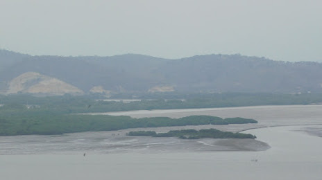
San Miguel — Bahia de Caraquez distance, route on the map
Distance by car
Distance between San Miguel, Bolivar, Ecuador and Bahia de Caraquez, Manabi, Ecuador by car is — km, or miles. To travel this distance by car, you need minute, or h.
Route on the map, driving directions
Car route San Miguel — Bahia de Caraquez was created automatically. The road on the map is shown as a blue line. By moving the markers, you can create a new route through the points you need.
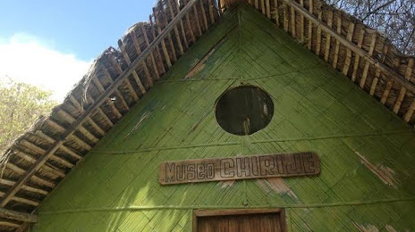
Passing cities through which the car route passes: Bolívar Province, San José de Chimbo, San José de Chimbo, San Simón, Guaranda, Guaranda, Guanujo, Guanujo, Bolivar, Simon Bolivar, Echeandía, Ventanas, The rivers, Saint Charles, El Empalme, Velasco Ibarra, Pichincha, Pichincha, Zapote, Quiroga, Calceta, La Estancilla, Tosagua.
Distance by plane
If you decide to take a trip San Miguel Bahia de Caraquez by plane, then you have to fly the distance — 197 km or 122 miles. It is marked on the map with a gray line (between two points in a straight line).
Flight time
Estimated flight time San Miguel Bahia de Caraquez by plane at cruising speed 750 km / h will be — 15 min.
Direction of movement
Ecuador, San Miguel — right-hand traffic. Ecuador, Bahia de Caraquez — right-hand traffic.
Difference in time
San Miguel and Bahia de Caraquez are in the same time zone. Between them there is no time difference (UTC -5 America/Guayaquil).
Interesting Facts
Information on alternative ways to get to your destination.
The length of this distance is about 0.5% of the total length of the equator.
The percentage of the population is clearly shown in the graph:
San Miguel — 12,575 (less by 24,481), Bahia de Caraquez — 37,056 residents.
The cost of travel
Calculate the cost of the trip yourself using the fuel consumption calculator, changing the data in the table.