
 The Dip
Carrasco
San Borja
Rurrenabaque
Padcaya
Yacuíba
Atocha
Achacachi
Loma Alta
The Dip
Carrasco
San Borja
Rurrenabaque
Padcaya
Yacuíba
Atocha
Achacachi
Loma Alta
Oruro on the map, Bolivia
Where is located Oruro
Exact location — Oruro, Cercado, Departamento Autónomo de Oruro, Bolivia, marked on the map with a red marker.
Coordinates
Oruro, Bolivia coordinates in decimal format: latitude — -17.966667, longitude — -67.116667. When converted to degrees, minutes, seconds Oruro has the following coordinates: -17°58′0 north latitude and -67°7′0 east longitude.
Population
Oruro, Cercado, Departamento Autónomo de Oruro, Bolivia, according to our data the population is — 208,687 residents, which is about 1.8% of the total population of the country (Bolivia).
Comparison of the population on the graph:
Exact time
Time zone for this location Oruro — UTC -4 America/La_Paz. Exact time — sunday, 4 april 2024 year, 23 h. 12 minutes.
Sunrise and sunset
Oruro, sunrise and sunset data for a date — sunday 28.04.2024.
| Sunrise | Sunset | Day (duration) |
|---|---|---|
| 06:43 -0 minutes | 18:07 -1 minute | 11 h. 24 minutes. -1 minute |
You can control the scale of the map using the auxiliary tools to find out exactly where it is located Oruro. When you change the scale of the map, the width of the ruler also changes (in kilometers and miles).
Nearby cities
The largest cities that are located nearby:
- Cochabamba — 119 km
- Sucre — 226 km
- Potosi — 227 km
- Tacna
 (Peru) — 329 km
 - Arica
 (Chile) — 340 km
 - Fist (Peru) — 388 km
- Iquique (Chile) — 401 km
- Juliaca (Peru) — 421 km
- Santa Cruz de la Sierra — 433 km
- Tarija — 464 km
- Arequipa (Peru) — 499 km
- Calama (Chile) — 529 km
- Antofagasta (Chile) — 711 km
- San Salvador de Jujuy
 (Argentina) — 712 km
 - Cusco (Peru) — 716 km
- Salta (Argentina) — 773 km
- White River
 (Brazil) — 887 km
 - Ayacucho (Peru) — 931 km
- San Miguel de Tucuman (Argentina) — 995 km
Distance to neighboring capitals:
- Asuncion
 (Paraguay) — 1273 km
 - Asuncion (Paraguay) — 1277 km
- Santiago (Chile) — 1756 km
- Buenos Aires (Argentina) — 2043 km
- Montevideo
 (Uruguay) — 2173 km
 - Quito
 (Ecuador) — 2335 km
 - Bogota
 (Colombia) — 2623 km
 - Caracas
 (Venezuela) — 3168 km
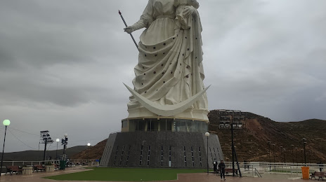
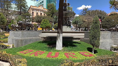
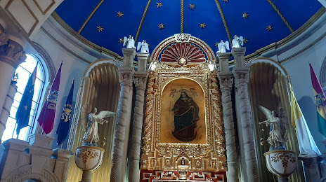
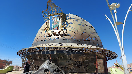
Attractions

Distance to the capital
Distance to the capital (Nuestra Señora de La Paz) is about — 197 km.