Miguel Pereira
Santa Cruz do Rio Pardo
Casa Branca
Aparecida
Cachoeira Paulista
Jacutinga
Moju
Visconde do Rio Branco
Bom Jesus do Itabapoana
Barra Velha
Orleans
Rio dos Cedros
Santo Antônio da Platina
Serra Negra
Itatinga
Itu
Ilhabela
Capela do Alto
Mogi-Guaçu
Miguel Pereira
Santa Cruz do Rio Pardo
Casa Branca
Aparecida
Cachoeira Paulista
Jacutinga
Moju
Visconde do Rio Branco
Bom Jesus do Itabapoana
Barra Velha
Orleans
Rio dos Cedros
Santo Antônio da Platina
Serra Negra
Itatinga
Itu
Ilhabela
Capela do Alto
Mogi-Guaçu
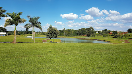
Palotina on the map, Brazil
Where is located Palotina
Exact location — Palotina, Palotina, Paraná, Brazil, marked on the map with a red marker.
Coordinates
Palotina, Brazil coordinates in decimal format: latitude — -24.2821555, longitude — -53.8345983. When converted to degrees, minutes, seconds Palotina has the following coordinates: -24°16′55.76 north latitude and -53°50′4.55 east longitude.
Population
Palotina, Palotina, Paraná, Brazil, according to our data the population is — 23,059 residents, which is about 0% of the total population of the country (Brazil).
Comparison of the population on the graph:
Exact time
Time zone for this location Palotina — UTC -3 America/Sao_Paulo. Exact time — wednesday, 5 may 2024 year, 12 h. 35 minutes.
Sunrise and sunset
Palotina, sunrise and sunset data for a date — wednesday 1.05.2024.
| Sunrise | Sunset | Day (duration) |
|---|---|---|
| 06:59 -0 minutes | 18:05 -0 minutes | 11 h. 6 minutes. -0 minutes |
You can control the scale of the map using the auxiliary tools to find out exactly where it is located Palotina. When you change the scale of the map, the width of the ruler also changes (in kilometers and miles).
Nearby cities
The largest cities that are located nearby:
- Cascavel — 84 km
- Foz do Iguaçu — 156 km
- Ciudad del Este
 (Paraguay) — 157 km
 - Maringá — 215 km
- Dourados — 249 km
- Apucarana — 254 km
- Guarapuava — 267 km
- Chapecó — 334 km
- Presidente Prudente — 346 km
- Capiata (Paraguay) — 381 km
- Luque (Paraguay) — 381 km
- San Lorenzo (Paraguay) — 386 km
- Fernando De La Mora (Paraguay) — 389 km
- Assis — 392 km
- Lambare (Paraguay) — 395 km
- Asuncion (Paraguay) — 396 km
- Posadas
 (Argentina) — 396 km
 - Campo Grande — 429 km
- Marília — 458 km
Distance to neighboring capitals:
- Asuncion (Paraguay) — 393 km
- Asuncion (Paraguay) — 400 km
- Montevideo
 (Uruguay) — 1202 km
 - Buenos Aires (Argentina) — 1229 km
- Nuestra Señora de La Paz
 (Bolivia) — 1723 km
 - Santiago
 (Chile) — 1925 km
 - Paramaribo
 (Suriname) — 3355 km
 - Georgetown
 (Guyana) — 3489 km
 - Quito
 (Ecuador) — 3772 km
 - Bogota
 (Colombia) — 3889 km
 - Caracas
 (Venezuela) — 4124 km