Santa Cruz do Rio Pardo — Piracicaba
Santa Cruz do Rio Pardo — Princesa Isabel
Santa Cruz do Rio Pardo — Mutari
Santa Cruz do Rio Pardo — Chopinzinho
Santa Cruz do Rio Pardo — Macedônia
Santa Cruz do Rio Pardo — São Vicente
Santa Cruz do Rio Pardo — Campos Novos
Santa Cruz do Rio Pardo — Jaru
Santa Cruz do Rio Pardo — Embu das Artes
Santa Cruz do Rio Pardo — Itueta
Santa Cruz do Rio Pardo — Sete Lagoas
Santa Cruz do Rio Pardo — Balsa Nova
Santa Cruz do Rio Pardo — Agudos
Santa Cruz do Rio Pardo — Green Hill
Santa Cruz do Rio Pardo — Valência
Santa Cruz do Rio Pardo — Canguaretama
Santa Cruz do Rio Pardo — Limoeiro do Norte
Santa Cruz do Rio Pardo — Amargosa
Santa Cruz do Rio Pardo — Bossoroca
Piratininga
Bauru
Pederneiras
Boa Esperança do Sul
Américo Brasiliense
Ribeirão Preto
Ribeirão Preto
Jardinópolis
Sales Oliveira
Orlândia
São Joaquim da Barra
São Joaquim da Barra
Guará
Ituverava
Aramina
Igarapava
Uberaba
Uru
Uberlândia
Araguari
Catalão
Cristalina
Luziânia
Federal District
Santa Cruz do Rio Pardo — Brasília distance, route on the map
Distance by car
Distance between Santa Cruz do Rio Pardo, São Paulo, Brazil and Brasília, Federal District, Brazil by car is — km, or miles. To travel this distance by car, you need minute, or h.
Route on the map, driving directions
Car route Santa Cruz do Rio Pardo — Brasília was created automatically. The road on the map is shown as a blue line. By moving the markers, you can create a new route through the points you need.
Passing cities through which the car route passes: Espírito Santo do Turvo, Piratininga, Bauru, Pederneiras, Boa Esperança do Sul, Américo Brasiliense, Ribeirão Preto, Ribeirão Preto, Jardinópolis, Sales Oliveira, Orlândia, São Joaquim da Barra, São Joaquim da Barra, Guará, Ituverava, Aramina, Igarapava, Uberaba, Uru, Uberlândia, Araguari, Catalão, Cristalina, Luziânia, Federal District.
Distance by plane
If you decide to take a trip Santa Cruz do Rio Pardo Brasília by plane, then you have to fly the distance — 811 km or 503 miles. It is marked on the map with a gray line (between two points in a straight line).
Flight time
Estimated flight time Santa Cruz do Rio Pardo Brasília by plane at cruising speed 750 km / h will be — 1 h. and 4 min.
Direction of movement
Brazil, Santa Cruz do Rio Pardo — right-hand traffic. Brazil, Brasília — right-hand traffic.
Difference in time
Santa Cruz do Rio Pardo and Brasília are in the same time zone. Between them there is no time difference (UTC -3 America/Sao_Paulo).
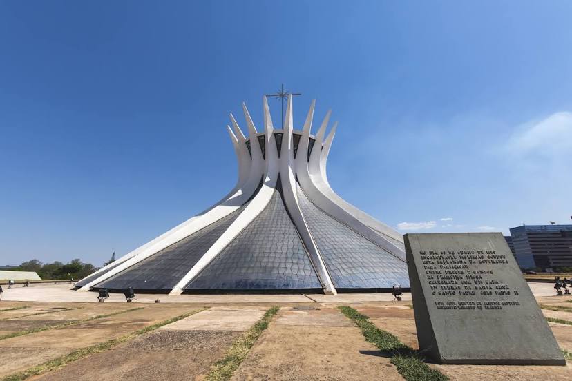
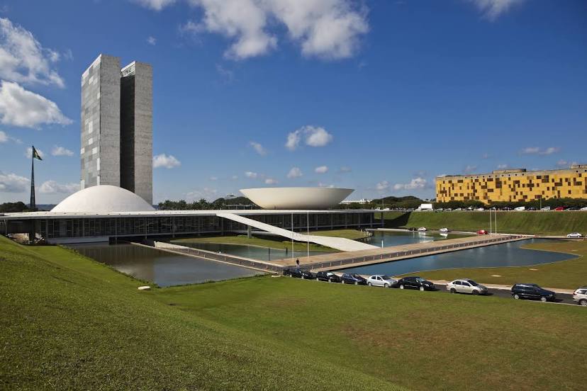
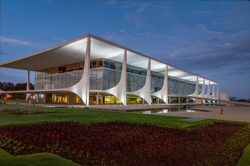
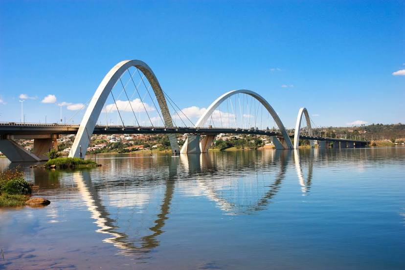
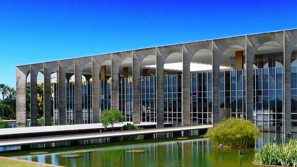
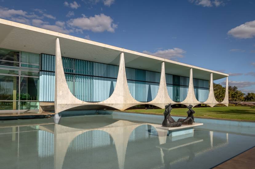
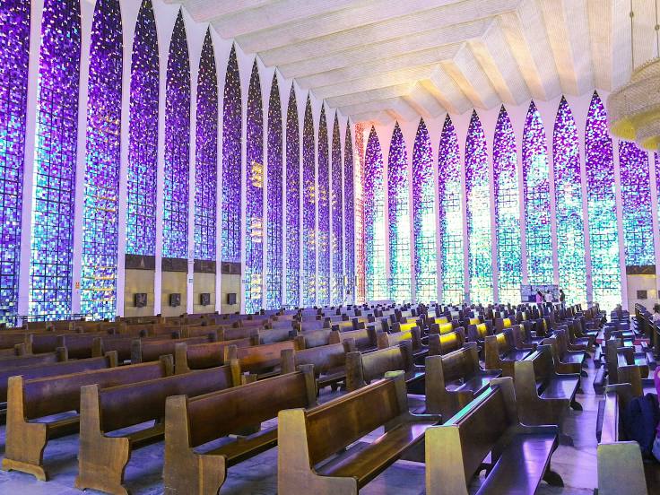
Interesting Facts
Information on alternative ways to get to your destination.
The length of this distance is about 2.0% of the total length of the equator.
The percentage of the population is clearly shown in the graph:
Santa Cruz do Rio Pardo — 37,336 (less by 2,170,476), Brasília — 2,207,812 residents.
The cost of travel
Calculate the cost of the trip yourself using the fuel consumption calculator, changing the data in the table.