Espírito Santo do Pinhal — Itaquaquecetuba
Espírito Santo do Pinhal — Biritinga
Espírito Santo do Pinhal — Tuiuti
Espírito Santo do Pinhal — Smile
Espírito Santo do Pinhal — Cosmorama
Espírito Santo do Pinhal — Ribeirão Pires
Espírito Santo do Pinhal — Bilac
Espírito Santo do Pinhal — Tapejara
Espírito Santo do Pinhal — Casimiro de Abreu
Espírito Santo do Pinhal — Salgueiro
Espírito Santo do Pinhal — Itaguaçu
Espírito Santo do Pinhal — Rafard
Espírito Santo do Pinhal — Além Paraíba
Espírito Santo do Pinhal — Bagé
Espírito Santo do Pinhal — Mar de Espanha
Espírito Santo do Pinhal — Palmares
Espírito Santo do Pinhal — Corumbataí
Espírito Santo do Pinhal — Cabrobó
Espírito Santo do Pinhal — Rodeio
Mogi Guaçu
Mogi Mirim
Mogi Mirim
Jaguariúna
Sousas
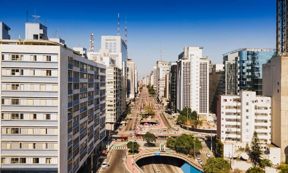
Campinas
Valinhos
Viracopos International Airport
Vinhedo
Louveira
Jundiaí
Várzea Paulista
Cajamar
Caieiras
Rochdale
Lapa
Centro
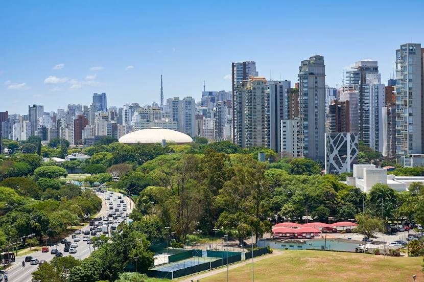
State of São Paulo
Espírito Santo do Pinhal — Itaquaquecetuba
Espírito Santo do Pinhal — Biritinga
Espírito Santo do Pinhal — Tuiuti
Espírito Santo do Pinhal — Smile
Espírito Santo do Pinhal — Cosmorama
Espírito Santo do Pinhal — Ribeirão Pires
Espírito Santo do Pinhal — Bilac
Espírito Santo do Pinhal — Tapejara
Espírito Santo do Pinhal — Casimiro de Abreu
Espírito Santo do Pinhal — Salgueiro
Espírito Santo do Pinhal — Itaguaçu
Espírito Santo do Pinhal — Rafard
Espírito Santo do Pinhal — Além Paraíba
Espírito Santo do Pinhal — Bagé
Espírito Santo do Pinhal — Mar de Espanha
Espírito Santo do Pinhal — Palmares
Espírito Santo do Pinhal — Corumbataí
Espírito Santo do Pinhal — Cabrobó
Espírito Santo do Pinhal — Rodeio
Mogi Guaçu
Mogi Mirim
Mogi Mirim
Jaguariúna
Sousas
Campinas
Valinhos
Viracopos International Airport
Vinhedo
Louveira
Jundiaí
Várzea Paulista
Cajamar
Caieiras
Rochdale
Lapa
Centro
State of São Paulo
Espírito Santo do Pinhal — São Paulo distance, route on the map
Distance by car
Distance between Espírito Santo do Pinhal, São Paulo, Brazil and São Paulo, State of São Paulo, Brazil by car is — km, or miles. To travel this distance by car, you need minute, or h.
Route on the map, driving directions
Car route Espírito Santo do Pinhal — São Paulo was created automatically. The road on the map is shown as a blue line. By moving the markers, you can create a new route through the points you need.
Passing cities through which the car route passes: Mogi-Guaçu, Mogi Guaçu, Mogi Mirim, Mogi Mirim, Jaguariúna, Sousas, Campinas, Valinhos, Viracopos International Airport, Vinhedo, Louveira, Jundiaí, Várzea Paulista, Cajamar, Caieiras, Rochdale, Lapa, Centro, State of São Paulo.
Distance by plane
If you decide to take a trip Espírito Santo do Pinhal São Paulo by plane, then you have to fly the distance — 152 km or 94 miles. It is marked on the map with a gray line (between two points in a straight line).
Flight time
Estimated flight time Espírito Santo do Pinhal São Paulo by plane at cruising speed 750 km / h will be — 12 min.
Direction of movement
Brazil, Espírito Santo do Pinhal — right-hand traffic. Brazil, São Paulo — right-hand traffic.
Difference in time
Espírito Santo do Pinhal and São Paulo are in the same time zone. Between them there is no time difference (UTC -3 America/Sao_Paulo).
Interesting Facts
Information on alternative ways to get to your destination.
The length of this distance is about 0.4% of the total length of the equator.
The percentage of the population is clearly shown in the graph:
Espírito Santo do Pinhal — 37,449 (less by 9,983,988), São Paulo — 10,021,437 residents.
The cost of travel
Calculate the cost of the trip yourself using the fuel consumption calculator, changing the data in the table.