Tempoal — Maravillas
Tempoal — La Estación
Tempoal — Madrid
Tempoal — Landa de Matamoros
Tempoal — Zihuatanejo
Tempoal — Hermanos Serdán International Airport
Tempoal — El Ocuca
Tempoal — San Jerónimo de Juárez
Tempoal — El Cuarejo
Tempoal — San Bartolo Coyotepec
Tempoal — Banderilla
Tempoal — Los Encinos
Tempoal — Villa Ahumada
Tempoal — Tanhuato de Guerrero
Tempoal — Dzitás
Tempoal — Morelos
Tempoal — Baja California
Tempoal — Puerto Arista
Tempoal — Zirahuén
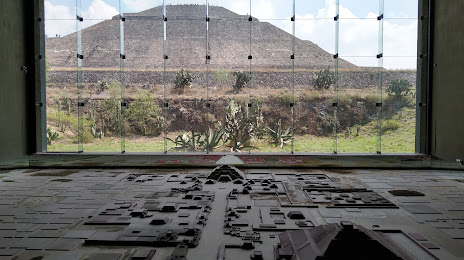
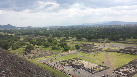
Tempoal — Teotihuacán de Arista distance, route on the map
Distance by car
Distance between Tempoal, Veracruz, Mexico and Teotihuacán de Arista, Estado de México, Mexico by car is — km, or miles. To travel this distance by car, you need minute, or h.
Route on the map, driving directions
Car route Tempoal — Teotihuacán de Arista was created automatically. The road on the map is shown as a blue line. By moving the markers, you can create a new route through the points you need.
Distance by plane
If you decide to take a trip Tempoal Teotihuacán de Arista by plane, then you have to fly the distance — 210 km or 130 miles. It is marked on the map with a gray line (between two points in a straight line).
Flight time
Estimated flight time Tempoal Teotihuacán de Arista by plane at cruising speed 750 km / h will be — 16 min.
Direction of movement
Mexico, Tempoal — right-hand traffic. Mexico, Teotihuacán de Arista — right-hand traffic.
Difference in time
Tempoal and Teotihuacán de Arista are in the same time zone. Between them there is no time difference (UTC -6 America/Mexico_City).
Interesting Facts
Information on alternative ways to get to your destination.
The length of this distance is about 0.5% of the total length of the equator.
The percentage of the population is clearly shown in the graph:
Tempoal — 12,558 (less by 9,983), Teotihuacán de Arista — 22,541 residents.
The cost of travel
Calculate the cost of the trip yourself using the fuel consumption calculator, changing the data in the table.